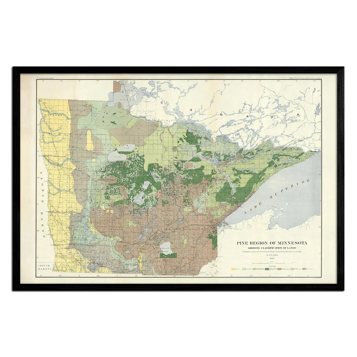
Pine Region of Minnesota 1899 Map
We love old maps. Their coloration, typography, legends, notations, and sometimes even outdated place names all have a nostalgic quality that gives them a special beauty. If you share our love for vintage maps, you’ll appreciate this map of the Pine Region of Minnesota from 1899, showing the classification of lands. In remastering maps for this series, we go to great pains to clean them up, eliminating stains, stamps, handwriting, and other signs of map aging. We then rework them into easily frameable sizes and bring out the richness of their colors and details. Because we print them on fine archival paper and canvas, all their original beauty shines through. It’s like traveling in a cartographic time machine.
Product Information
Product Information
Shipping & Returns
Shipping & Returns


Pine Region of Minnesota 1899 Map
Pine Region of Minnesota 1899 Map
We love old maps. Their coloration, typography, legends, notations, and sometimes even outdated place names all have a nostalgic quality that gives them a special beauty. If you share our love for vintage maps, you’ll appreciate this map of the Pine Region of Minnesota from 1899, showing the classification of lands. In remastering maps for this series, we go to great pains to clean them up, eliminating stains, stamps, handwriting, and other signs of map aging. We then rework them into easily frameable sizes and bring out the richness of their colors and details. Because we print them on fine archival paper and canvas, all their original beauty shines through. It’s like traveling in a cartographic time machine.
Original: $6,200.00
-70%$6,200.00
$1,860.00Product Information
Product Information
Shipping & Returns
Shipping & Returns
Description
We love old maps. Their coloration, typography, legends, notations, and sometimes even outdated place names all have a nostalgic quality that gives them a special beauty. If you share our love for vintage maps, you’ll appreciate this map of the Pine Region of Minnesota from 1899, showing the classification of lands. In remastering maps for this series, we go to great pains to clean them up, eliminating stains, stamps, handwriting, and other signs of map aging. We then rework them into easily frameable sizes and bring out the richness of their colors and details. Because we print them on fine archival paper and canvas, all their original beauty shines through. It’s like traveling in a cartographic time machine.