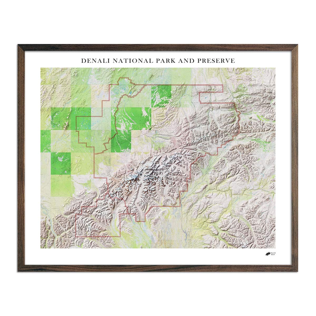
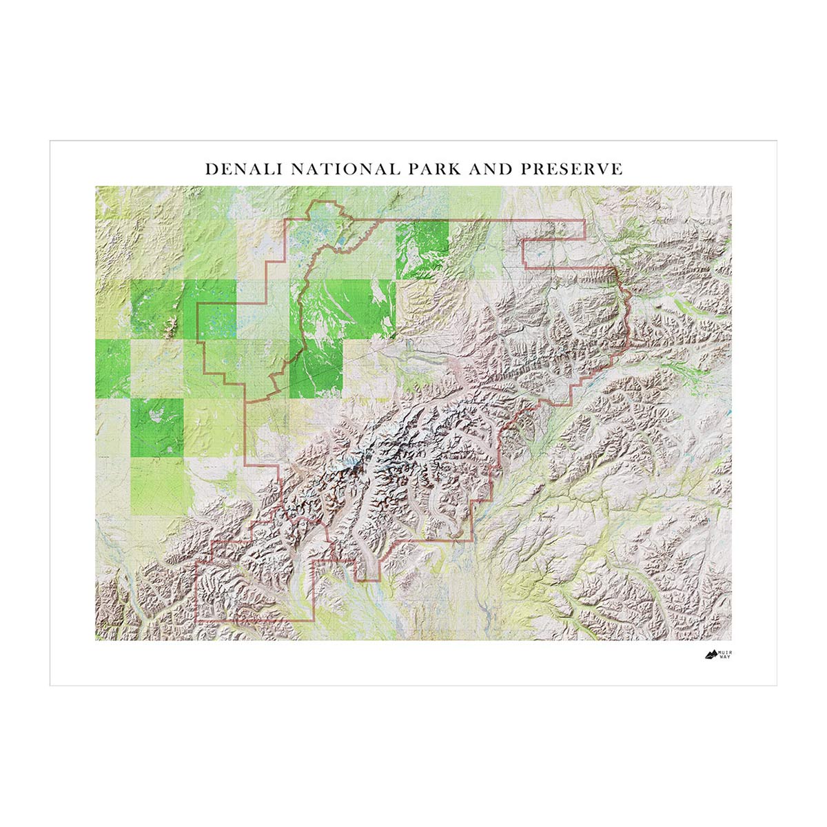
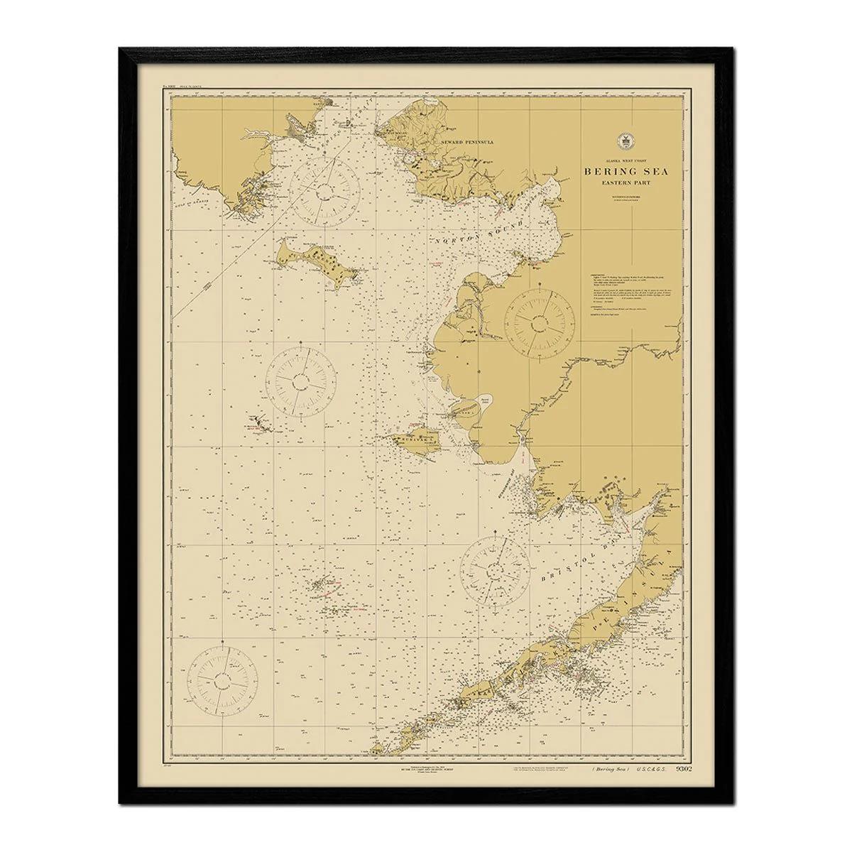
Bering Sea - Eastern Part Nautical Chart 1923
We digitally corrected the original map by removing creases, tears, writing, stamps, etc., to create a remastered version of this historical Bering Sea map.
Product Information
Product Information
Shipping & Returns
Shipping & Returns


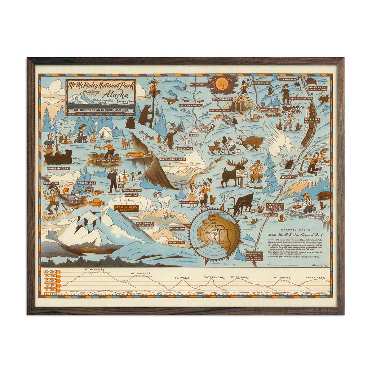
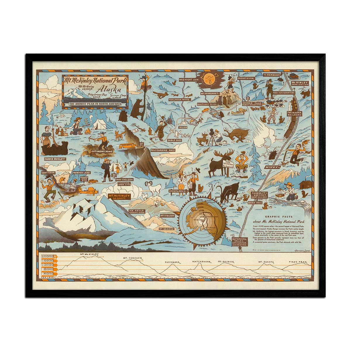
Bering Sea - Eastern Part Nautical Chart 1923
Bering Sea - Eastern Part Nautical Chart 1923
We digitally corrected the original map by removing creases, tears, writing, stamps, etc., to create a remastered version of this historical Bering Sea map.
Select Size
Select Material
Select Frame
From $333,000.00
Original: $1,110,000.00
-70%Bering Sea - Eastern Part Nautical Chart 1923—
$1,110,000.00
$333,000.00Product Information
Product Information
Shipping & Returns
Shipping & Returns
Description
We digitally corrected the original map by removing creases, tears, writing, stamps, etc., to create a remastered version of this historical Bering Sea map.