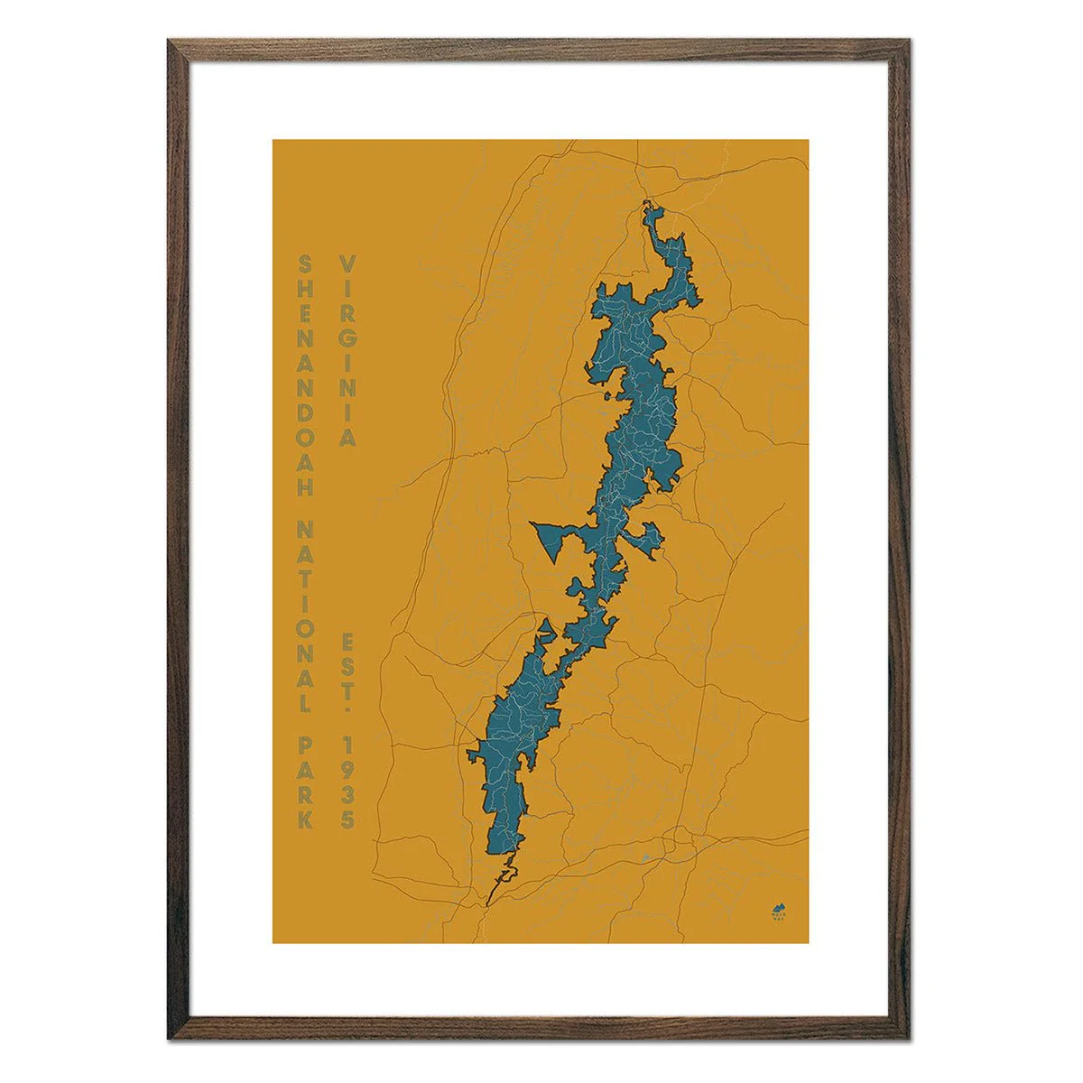
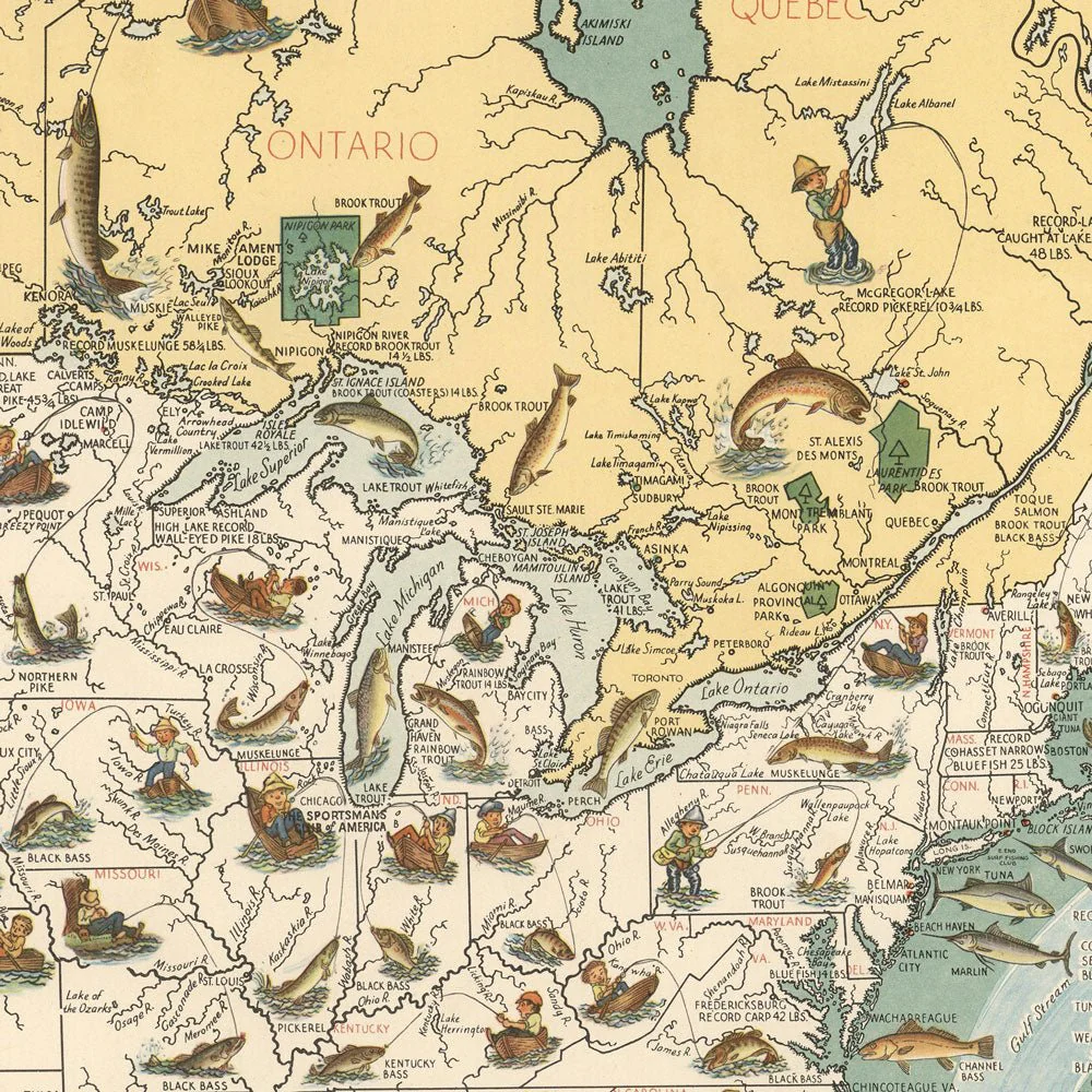
Big Game Fish Map - 1936
In 1936, Joe Godfrey Jr. and Gordon Ertz created this pictorial map illustrating 56 kinds of fish around the border. Within the map are fishermen with hooked fish that can be found in each state. There are also four small round inset maps on the lower left that show Panama, the Hawaiian Islands, New Zealand, and Tahiti, with listings of the fish found in those places. This reproduction print was carefully restored from a digital scan of the original map.
Product Information
Product Information
Shipping & Returns
Shipping & Returns


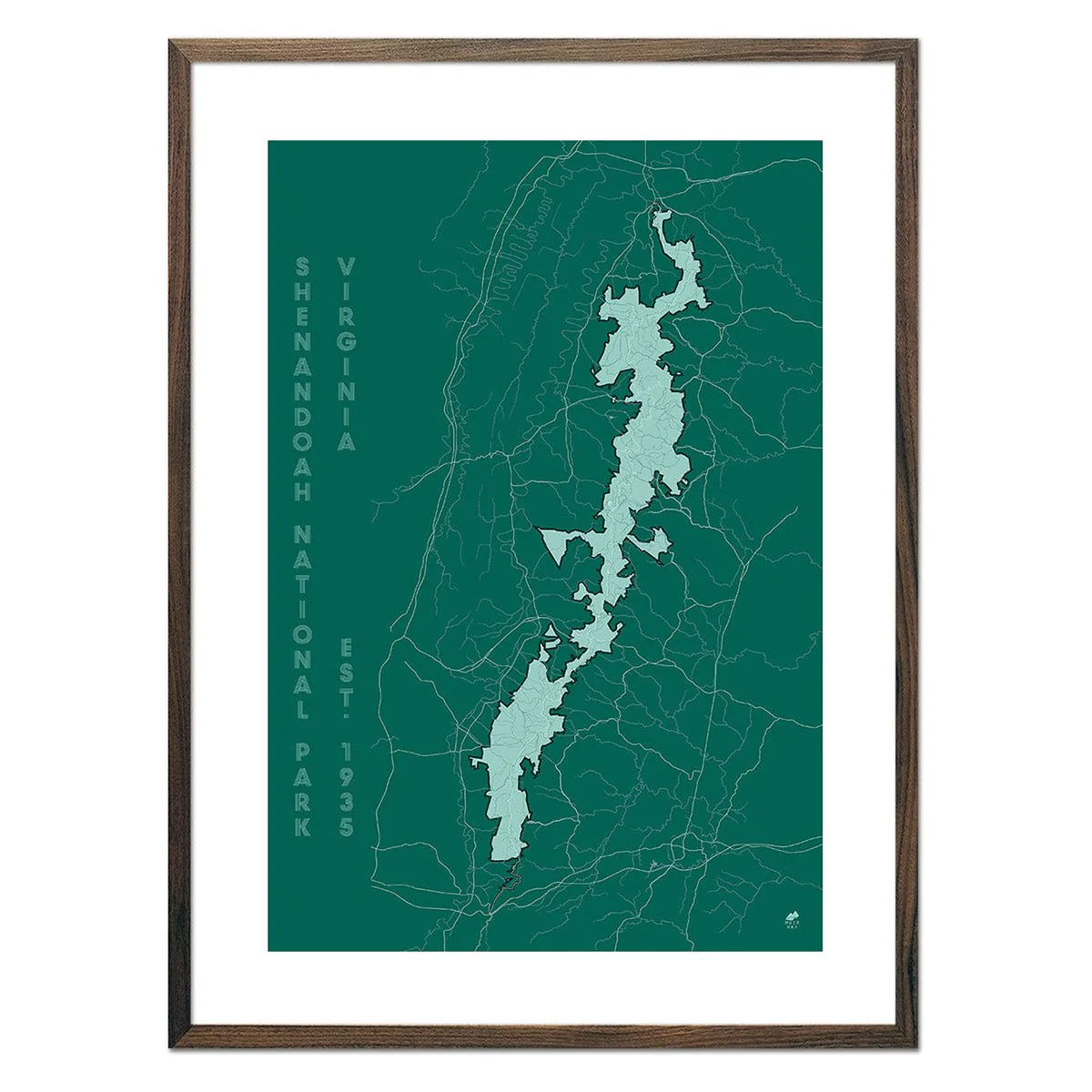
Big Game Fish Map - 1936
Big Game Fish Map - 1936
In 1936, Joe Godfrey Jr. and Gordon Ertz created this pictorial map illustrating 56 kinds of fish around the border. Within the map are fishermen with hooked fish that can be found in each state. There are also four small round inset maps on the lower left that show Panama, the Hawaiian Islands, New Zealand, and Tahiti, with listings of the fish found in those places. This reproduction print was carefully restored from a digital scan of the original map.
Original: $78.95
-70%$78.95
$23.68Product Information
Product Information
Shipping & Returns
Shipping & Returns
Description
In 1936, Joe Godfrey Jr. and Gordon Ertz created this pictorial map illustrating 56 kinds of fish around the border. Within the map are fishermen with hooked fish that can be found in each state. There are also four small round inset maps on the lower left that show Panama, the Hawaiian Islands, New Zealand, and Tahiti, with listings of the fish found in those places. This reproduction print was carefully restored from a digital scan of the original map.