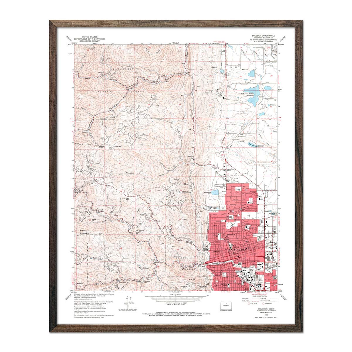
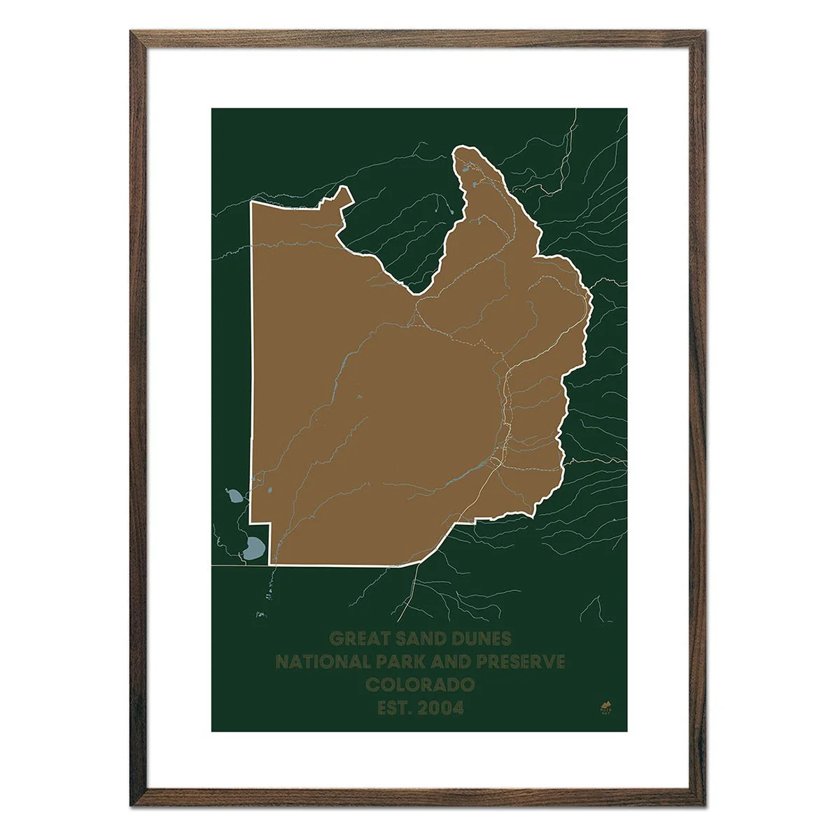
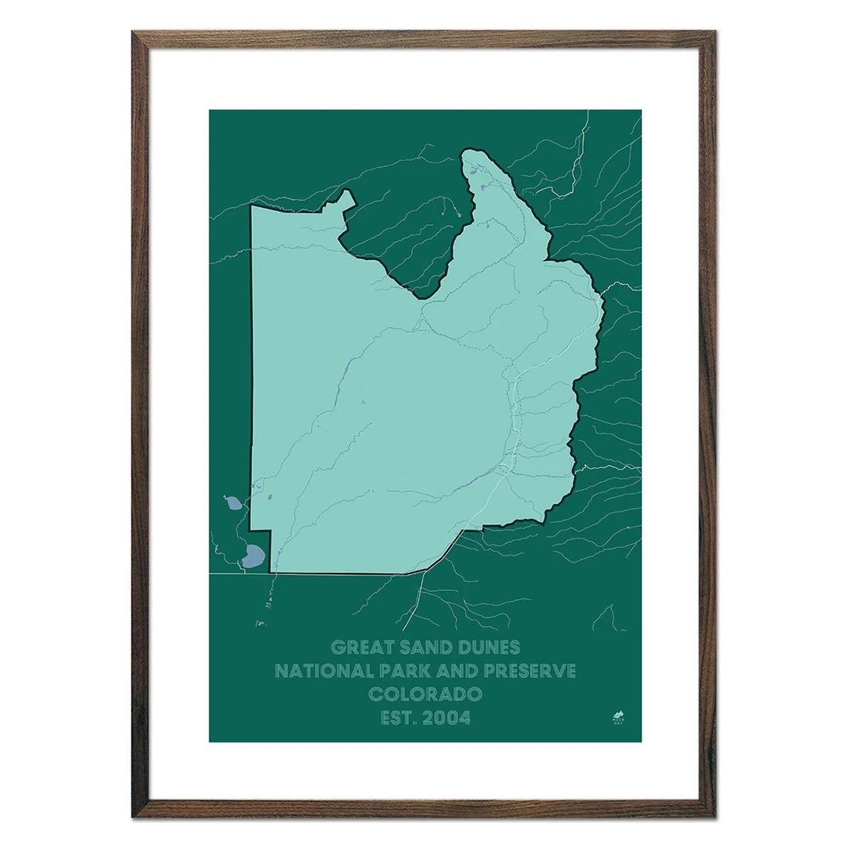
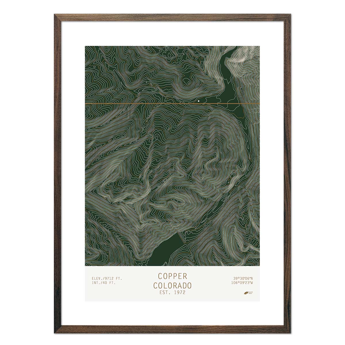
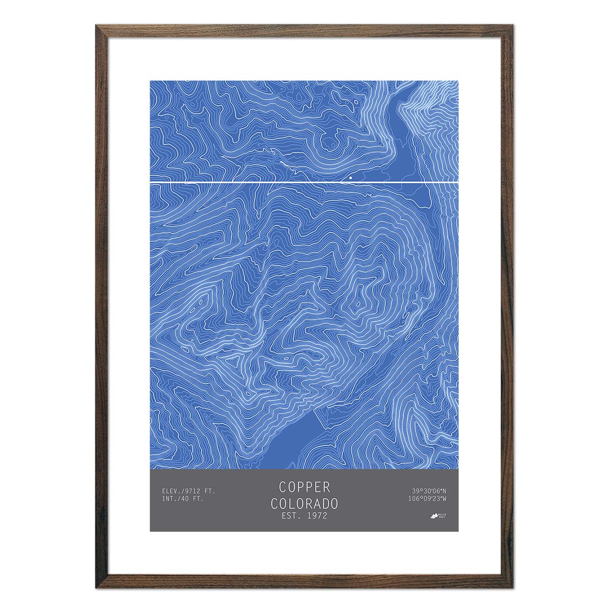
Colorado "14ers" Shaded Relief Map
Our map of Colorado's "Fourteeners" shows the state's terrain in beautiful shaded relief. Each of the 58 peaks in Colorado, over 14,000 feet in elevation, is labeled on the map and listed on the right side. In addition to the 14ers, every ski mountain, national park, monument, and forest is labeled on the map. The perfect map for all the peak baggers out there!
Designed in partnership of Natural Atlas.
Product Information
Product Information
Shipping & Returns
Shipping & Returns


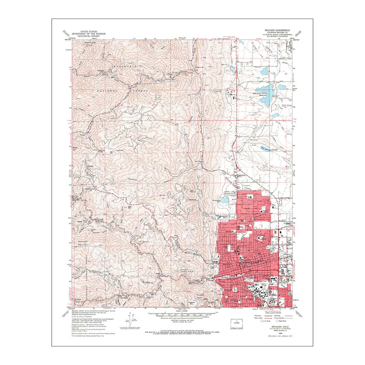
Colorado "14ers" Shaded Relief Map
Colorado "14ers" Shaded Relief Map
Our map of Colorado's "Fourteeners" shows the state's terrain in beautiful shaded relief. Each of the 58 peaks in Colorado, over 14,000 feet in elevation, is labeled on the map and listed on the right side. In addition to the 14ers, every ski mountain, national park, monument, and forest is labeled on the map. The perfect map for all the peak baggers out there!
Designed in partnership of Natural Atlas.
Product Information
Product Information
Shipping & Returns
Shipping & Returns
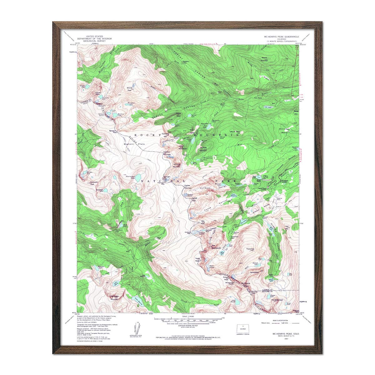
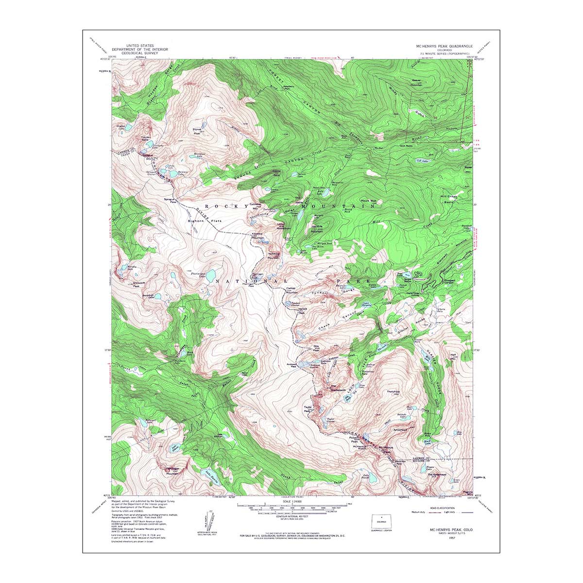
Description
Our map of Colorado's "Fourteeners" shows the state's terrain in beautiful shaded relief. Each of the 58 peaks in Colorado, over 14,000 feet in elevation, is labeled on the map and listed on the right side. In addition to the 14ers, every ski mountain, national park, monument, and forest is labeled on the map. The perfect map for all the peak baggers out there!
Designed in partnership of Natural Atlas.