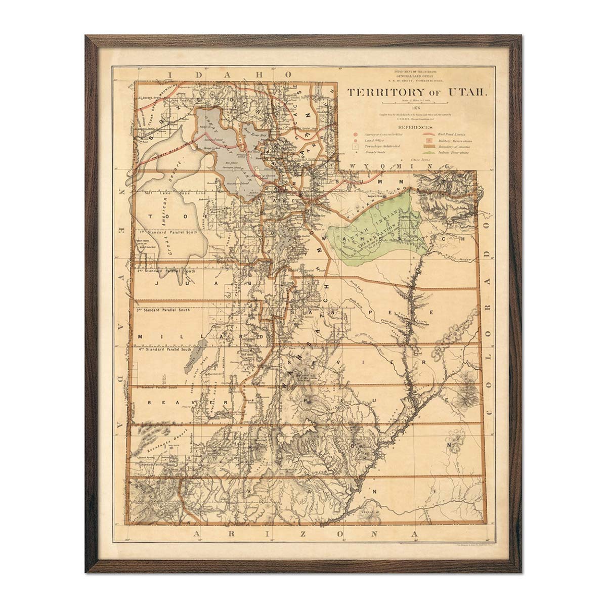
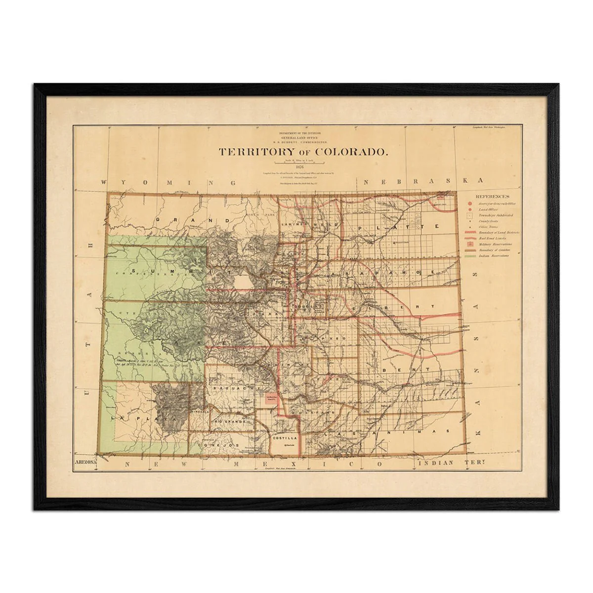
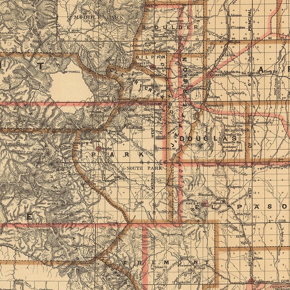
Colorado Territory 1876 Map
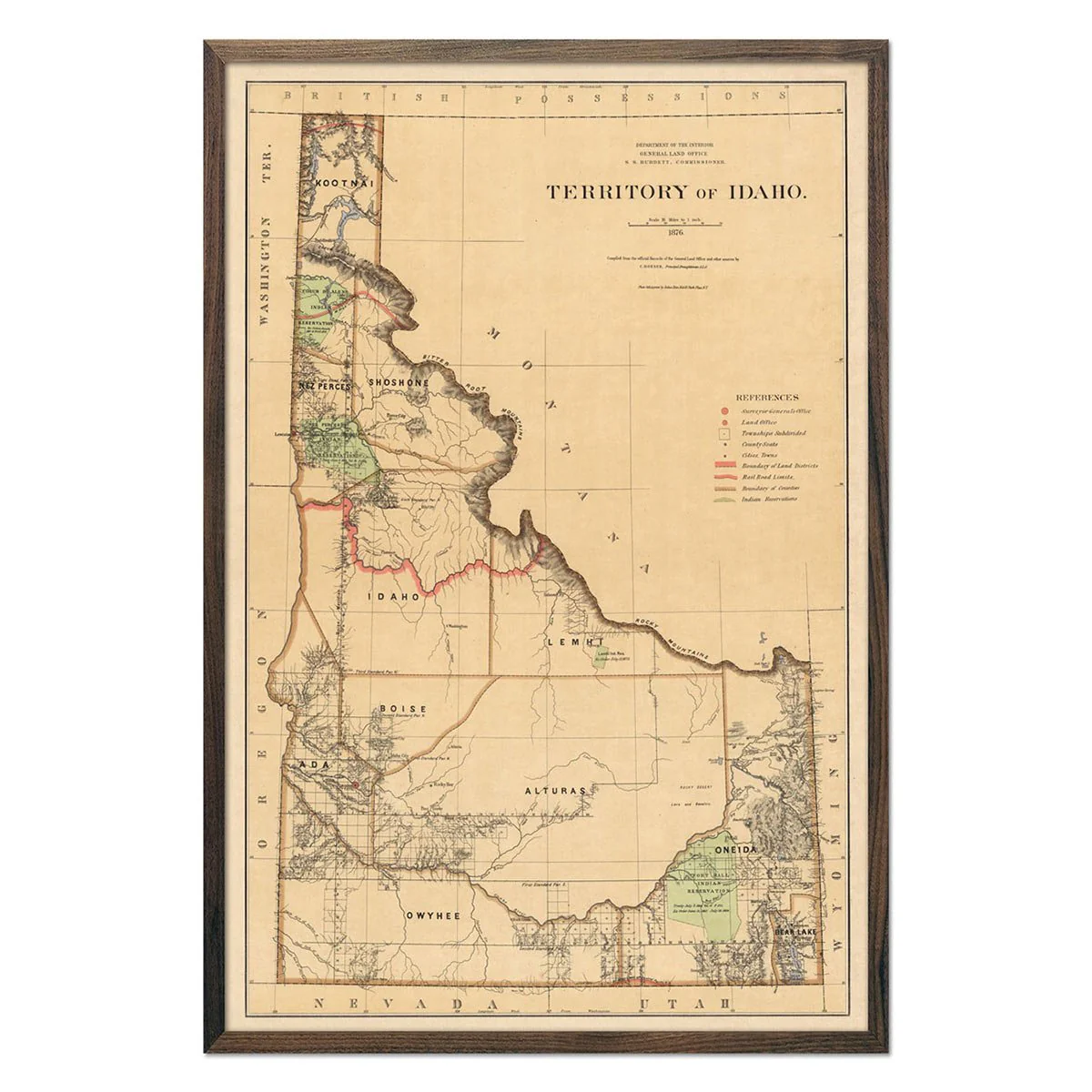
We love old maps. Their coloration, typography, legends, notations, and sometimes even outdated place names all have a nostalgic quality that gives them a special beauty. If you share our love for vintage maps, you’ll appreciate this 1876 Colorado Territory Map in our Historic Series.
This map was made from official records of the General Land Office and other sources by C. Roeser, Principal Draughtsman G.L.O. Photolith. & Print by Julius Bien in 1876.
Product Information
Product Information
Shipping & Returns
Shipping & Returns


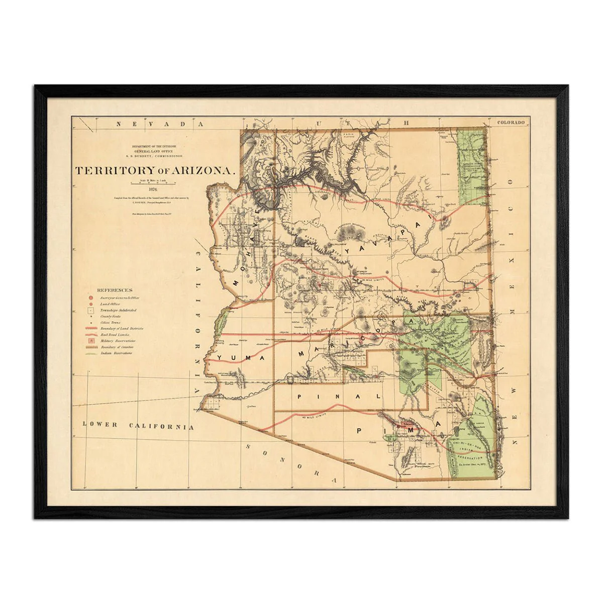
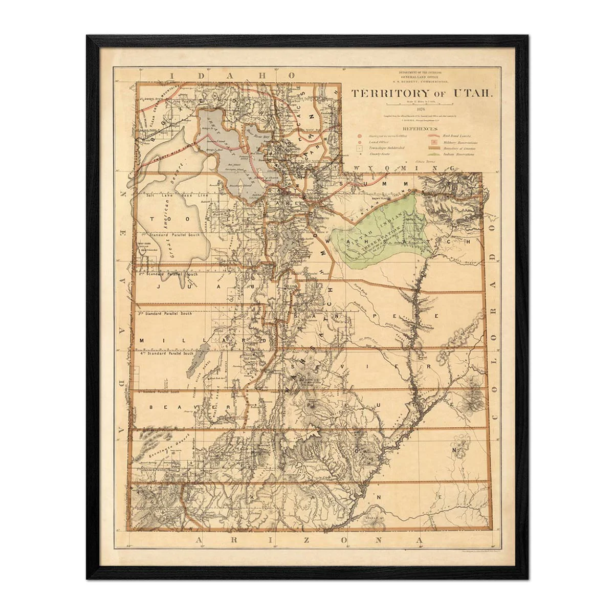
Colorado Territory 1876 Map
Colorado Territory 1876 Map
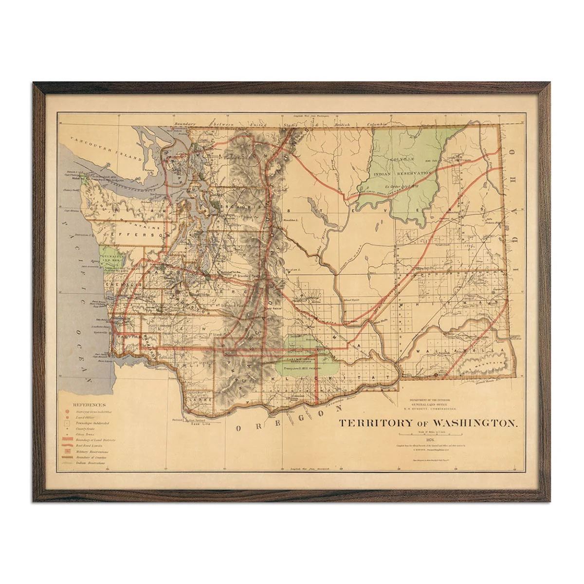
We love old maps. Their coloration, typography, legends, notations, and sometimes even outdated place names all have a nostalgic quality that gives them a special beauty. If you share our love for vintage maps, you’ll appreciate this 1876 Colorado Territory Map in our Historic Series.
This map was made from official records of the General Land Office and other sources by C. Roeser, Principal Draughtsman G.L.O. Photolith. & Print by Julius Bien in 1876.
Product Information
Product Information
Shipping & Returns
Shipping & Returns
Description
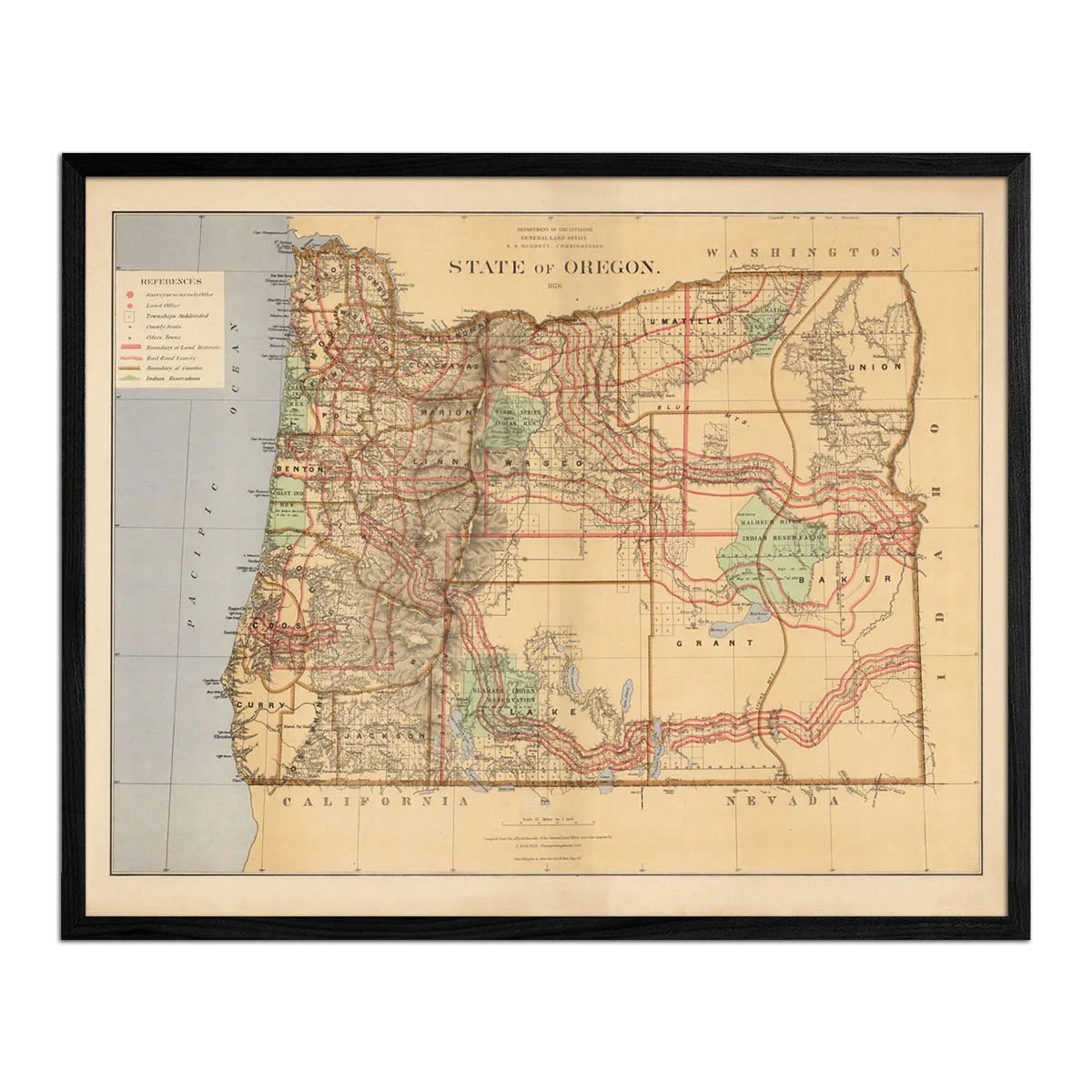
We love old maps. Their coloration, typography, legends, notations, and sometimes even outdated place names all have a nostalgic quality that gives them a special beauty. If you share our love for vintage maps, you’ll appreciate this 1876 Colorado Territory Map in our Historic Series.
This map was made from official records of the General Land Office and other sources by C. Roeser, Principal Draughtsman G.L.O. Photolith. & Print by Julius Bien in 1876.