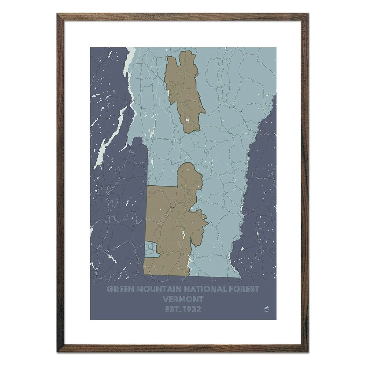
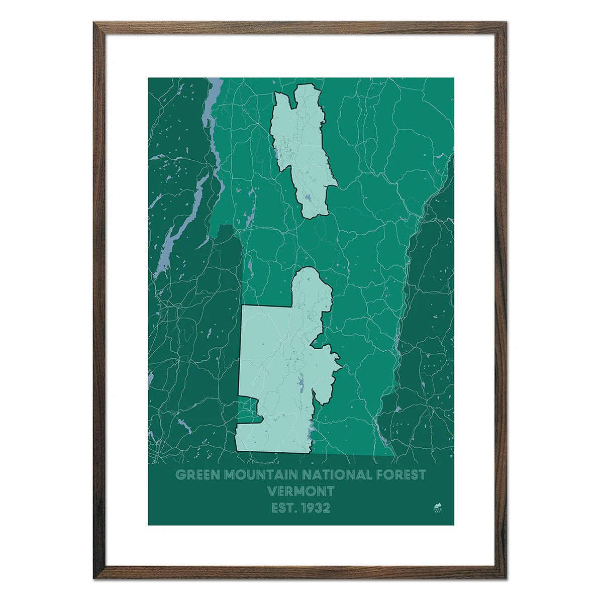
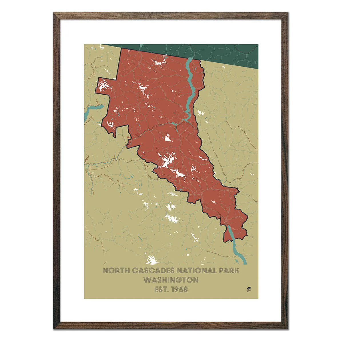
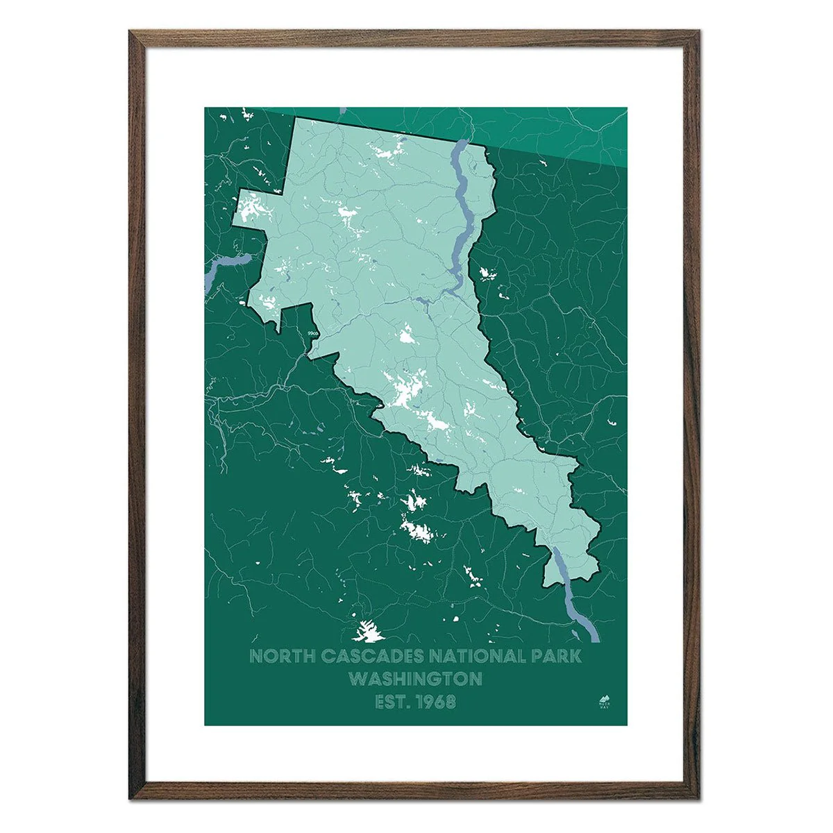
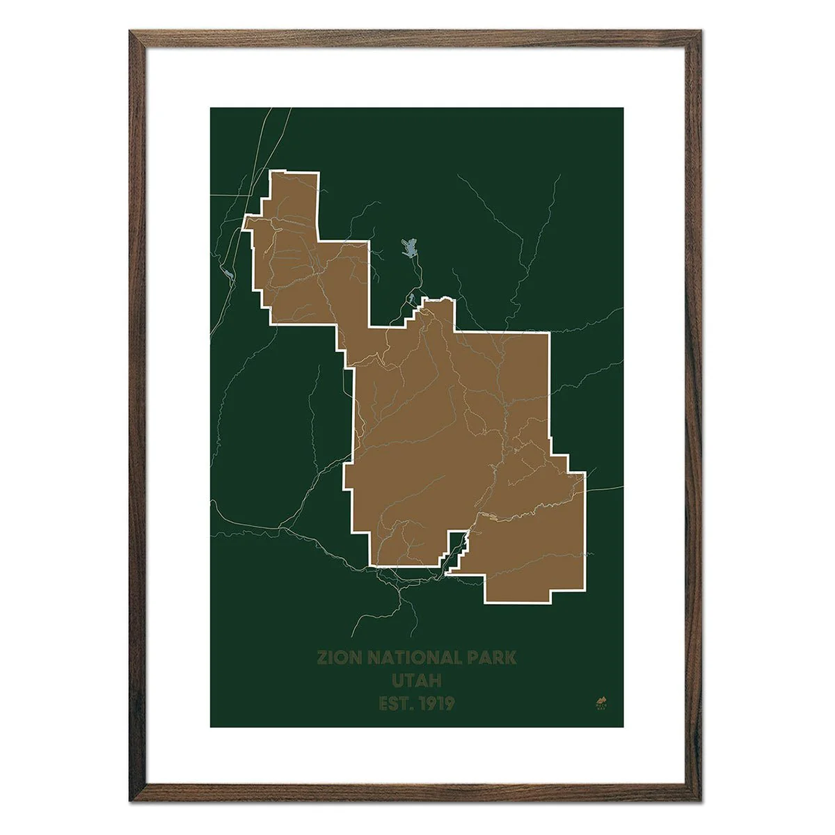
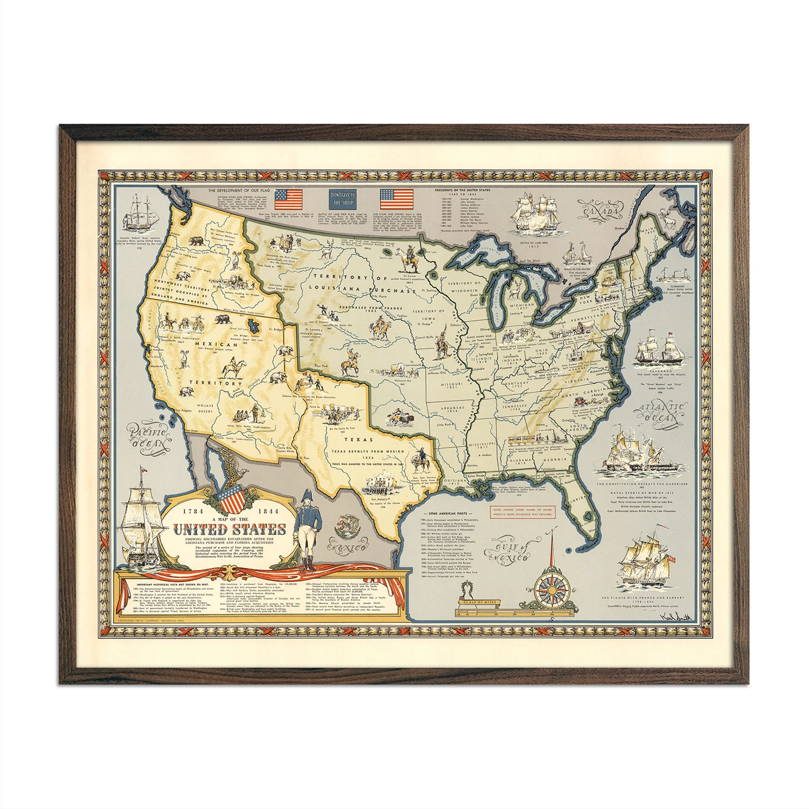
Map of the United States Showing Boundaries 1844
We love old maps. Their coloration, typography, legends, notations, and sometimes even outdated place names all have a nostalgic quality that gives them a special beauty. If you share our love for vintage maps, you’ll appreciate this Map of the United States Showing Boundaries Established after the Louisiana Purchase and Florida Acquisition from 1784-1844. The second in a series of four maps showing the territorial expansion of the Country, with historical notes covering the period from the Revolutionary War to the Annexation of Texas. We've digitally restored this reproduction while keeping its vintage look and discoloration.
Product Information
Product Information
Shipping & Returns
Shipping & Returns
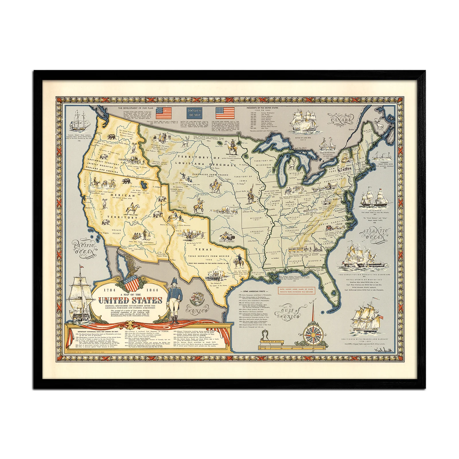
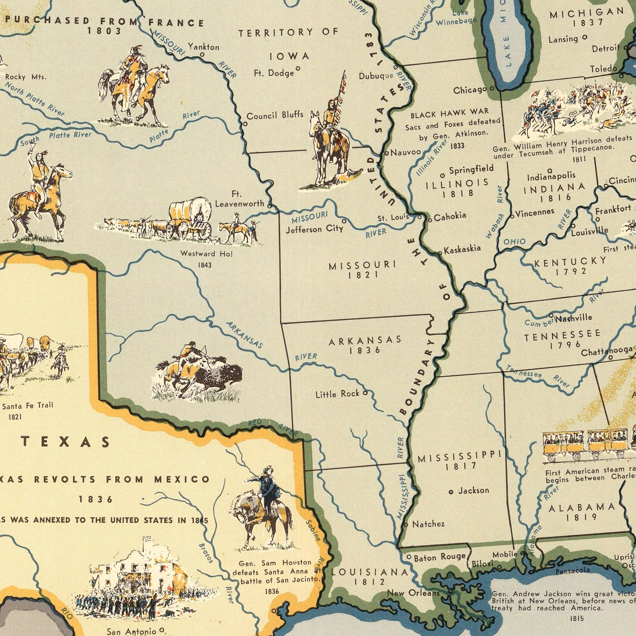
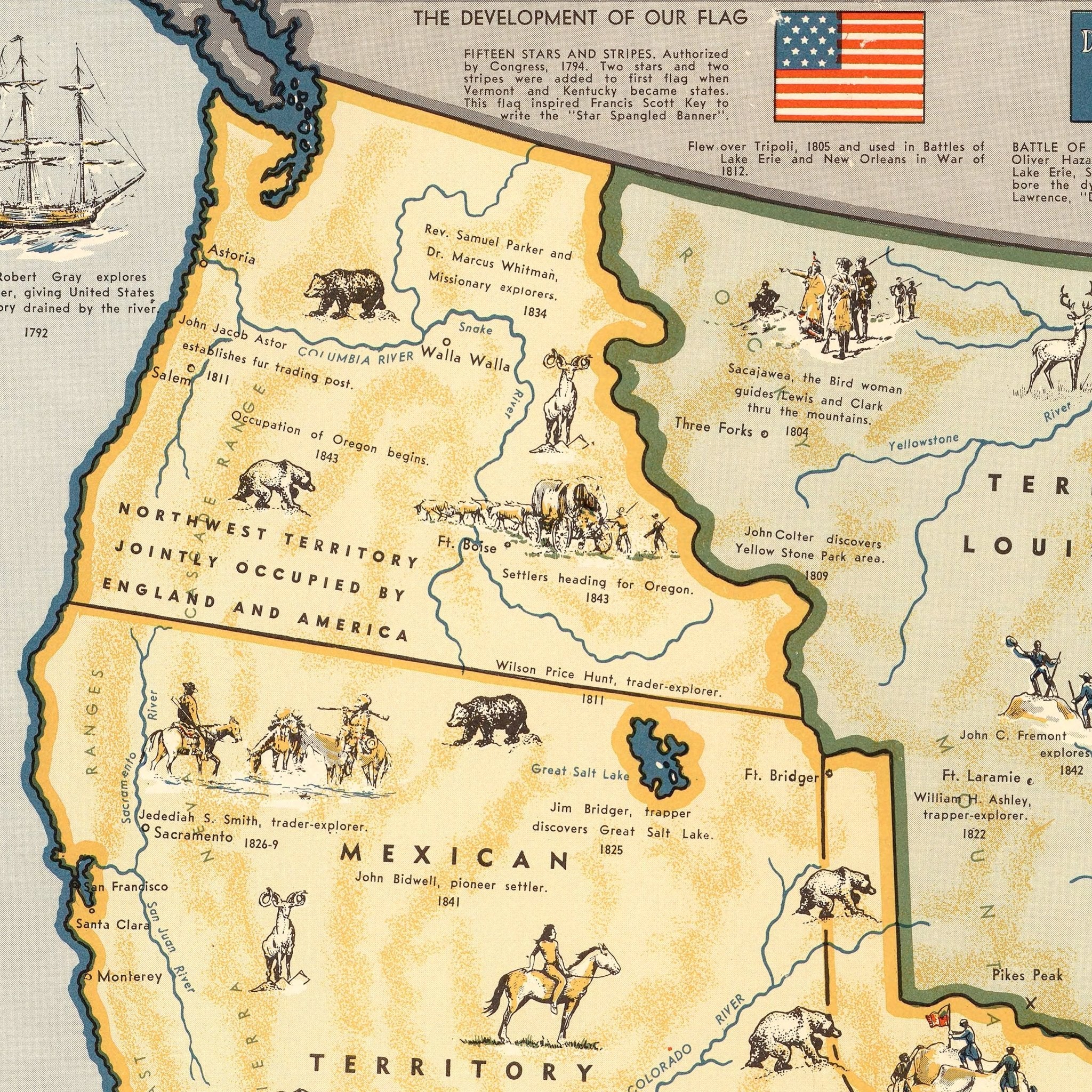
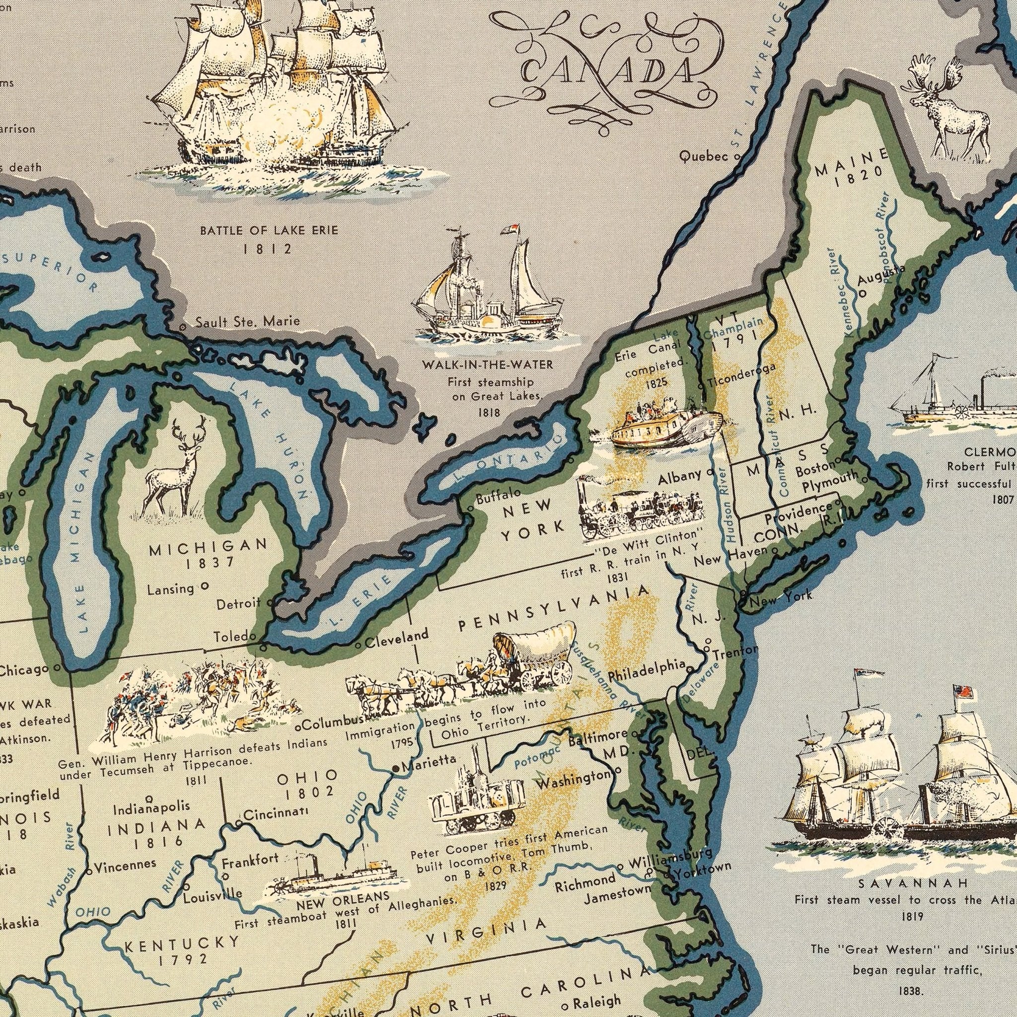
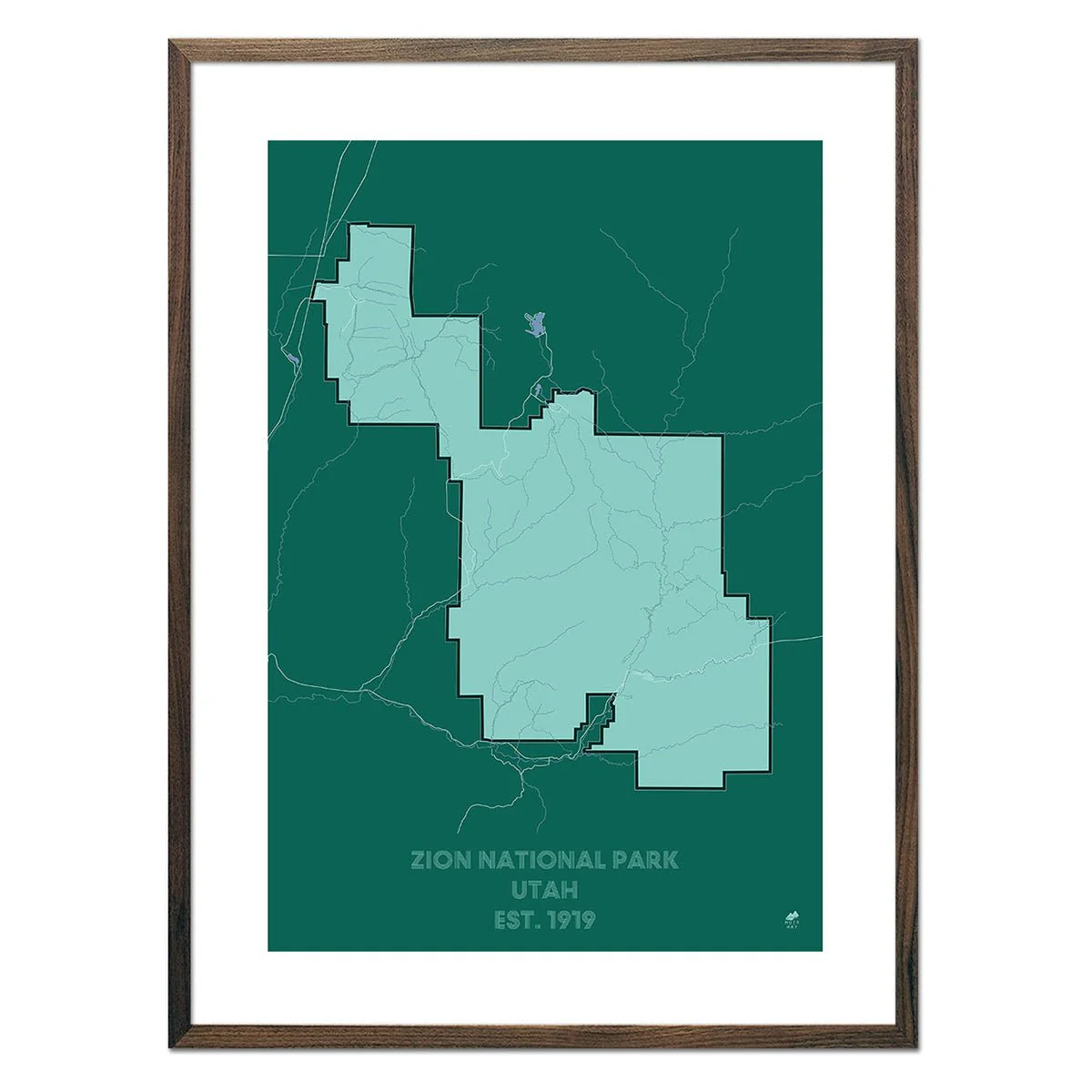
Map of the United States Showing Boundaries 1844
Map of the United States Showing Boundaries 1844
We love old maps. Their coloration, typography, legends, notations, and sometimes even outdated place names all have a nostalgic quality that gives them a special beauty. If you share our love for vintage maps, you’ll appreciate this Map of the United States Showing Boundaries Established after the Louisiana Purchase and Florida Acquisition from 1784-1844. The second in a series of four maps showing the territorial expansion of the Country, with historical notes covering the period from the Revolutionary War to the Annexation of Texas. We've digitally restored this reproduction while keeping its vintage look and discoloration.
Product Information
Product Information
Shipping & Returns
Shipping & Returns
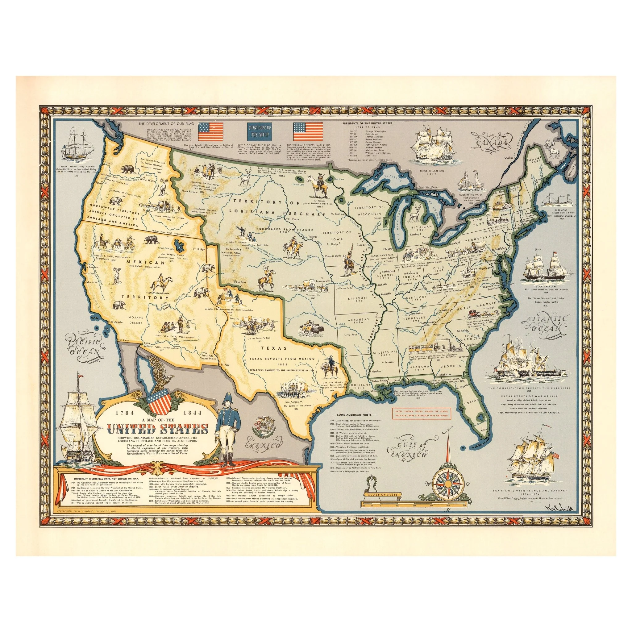
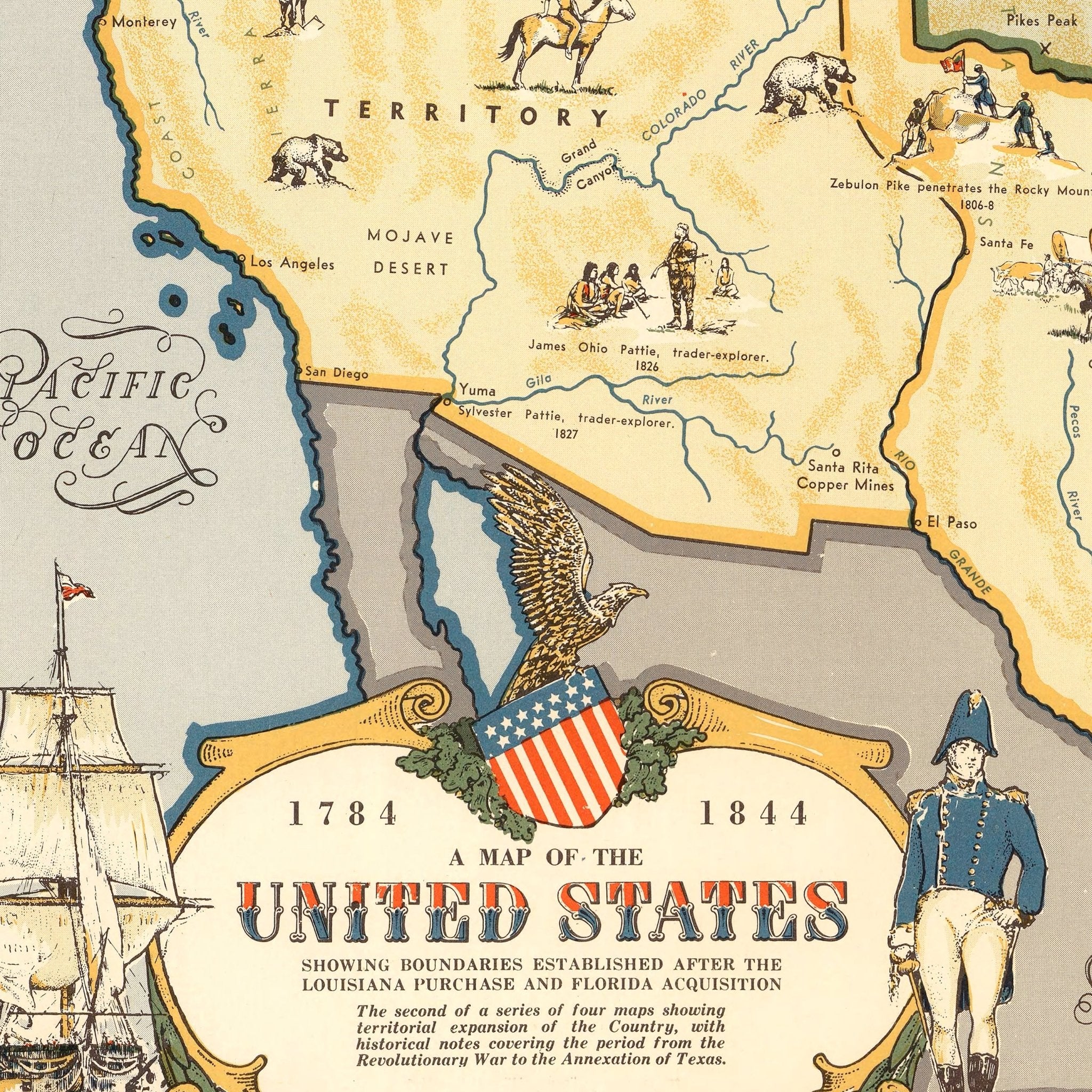
Description
We love old maps. Their coloration, typography, legends, notations, and sometimes even outdated place names all have a nostalgic quality that gives them a special beauty. If you share our love for vintage maps, you’ll appreciate this Map of the United States Showing Boundaries Established after the Louisiana Purchase and Florida Acquisition from 1784-1844. The second in a series of four maps showing the territorial expansion of the Country, with historical notes covering the period from the Revolutionary War to the Annexation of Texas. We've digitally restored this reproduction while keeping its vintage look and discoloration.