Map of Yosemite Valley 1868
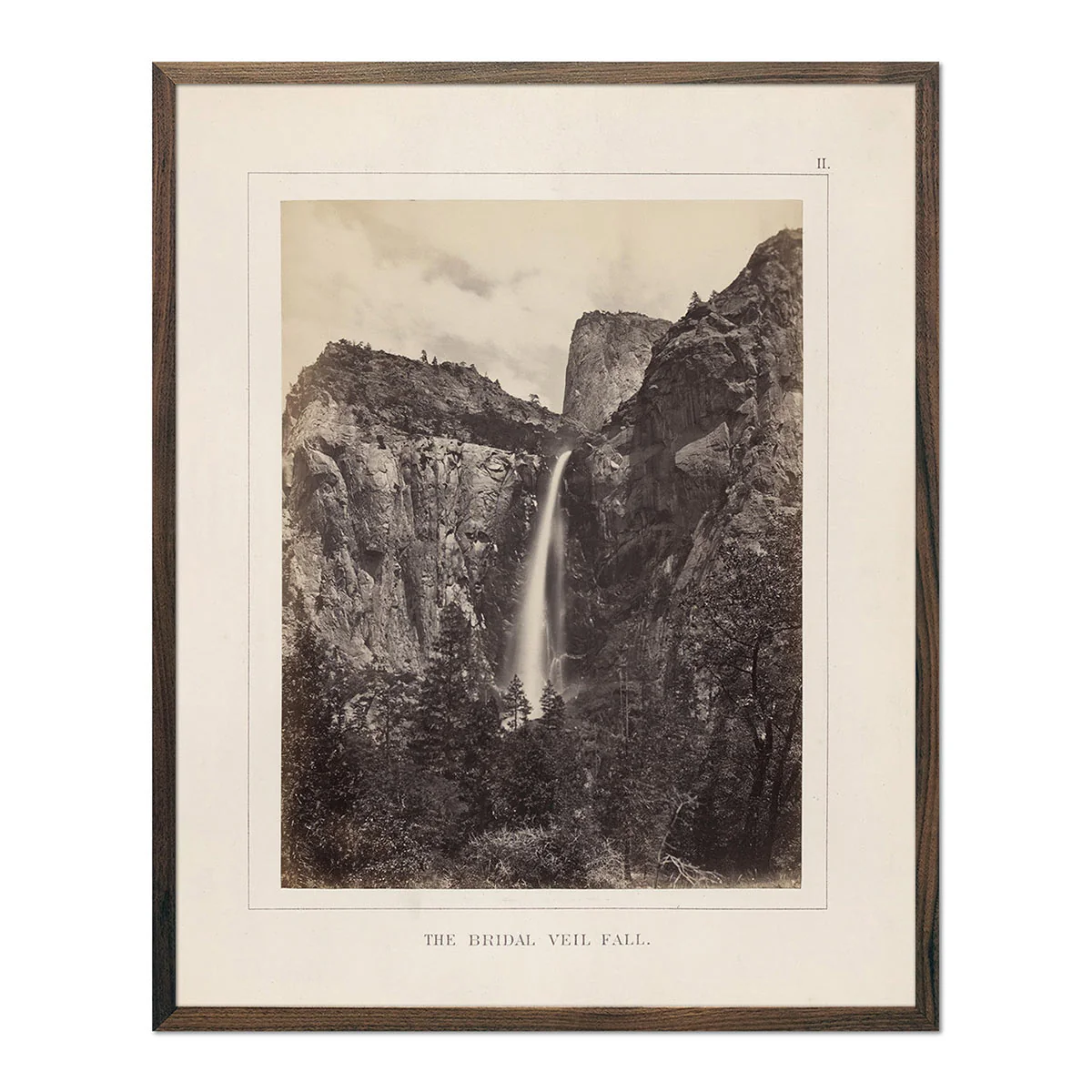
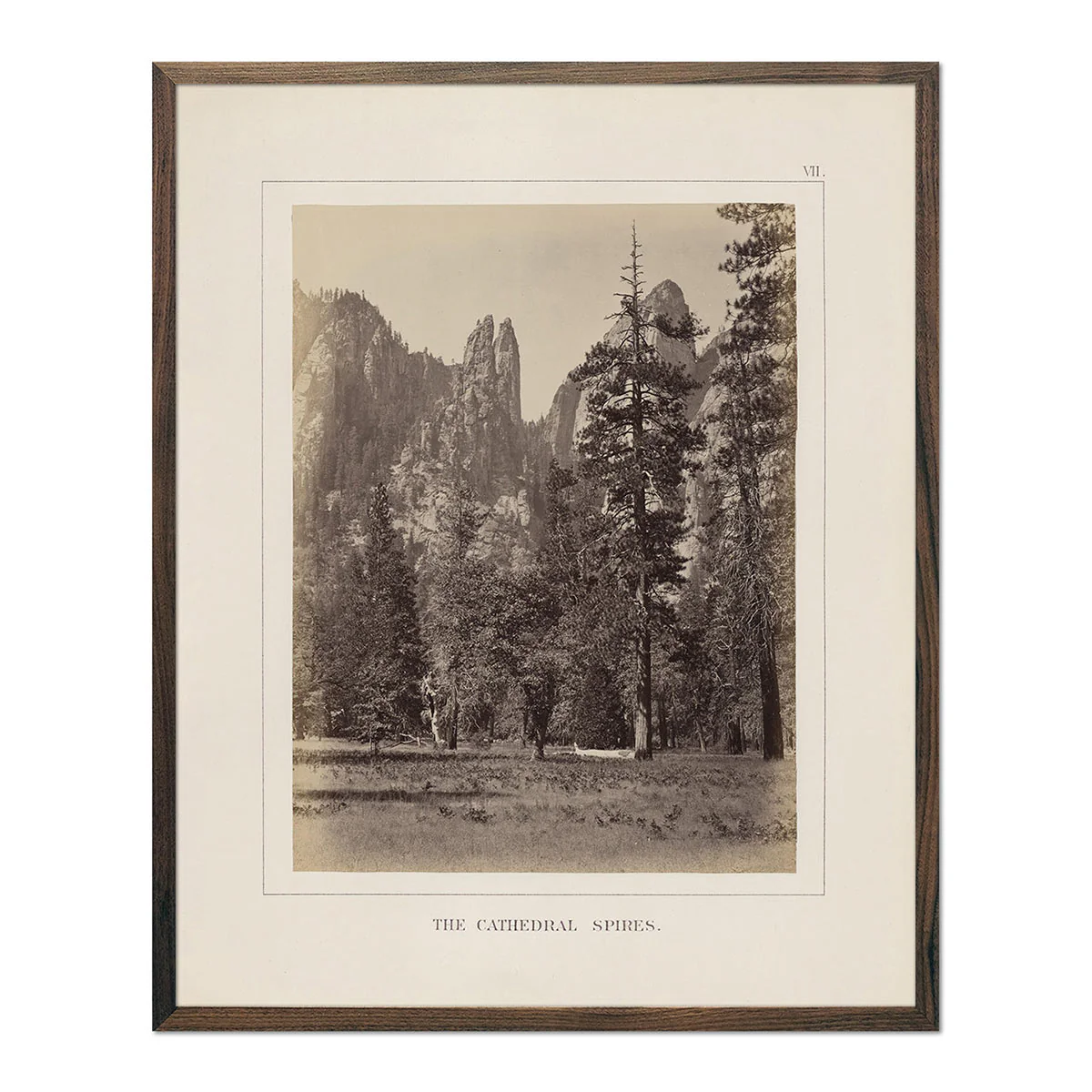
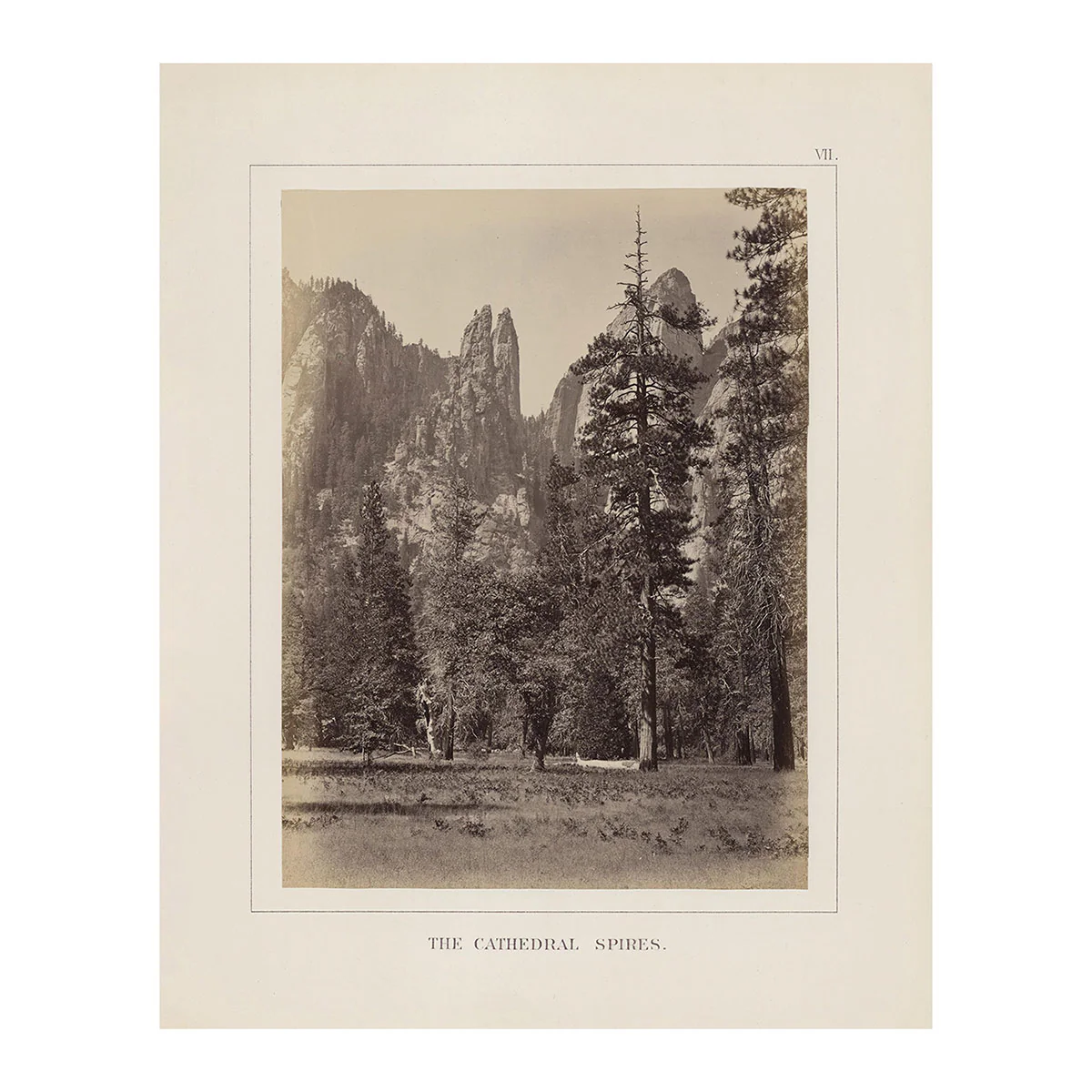
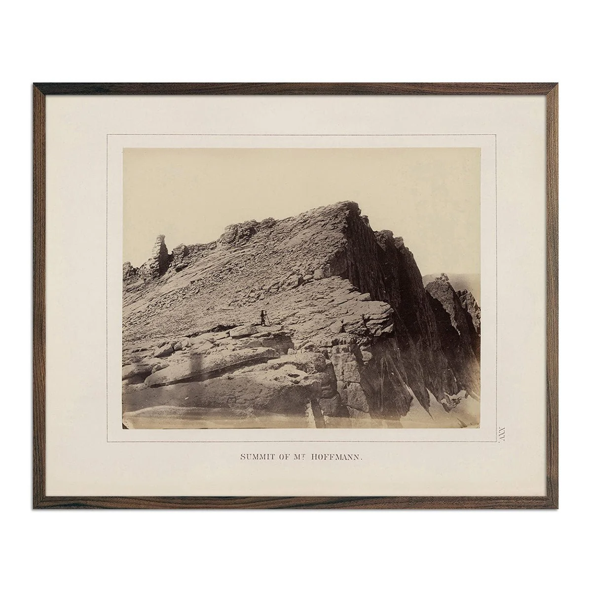
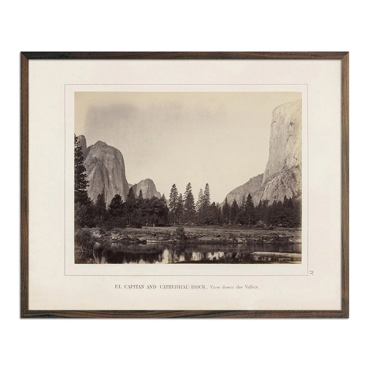
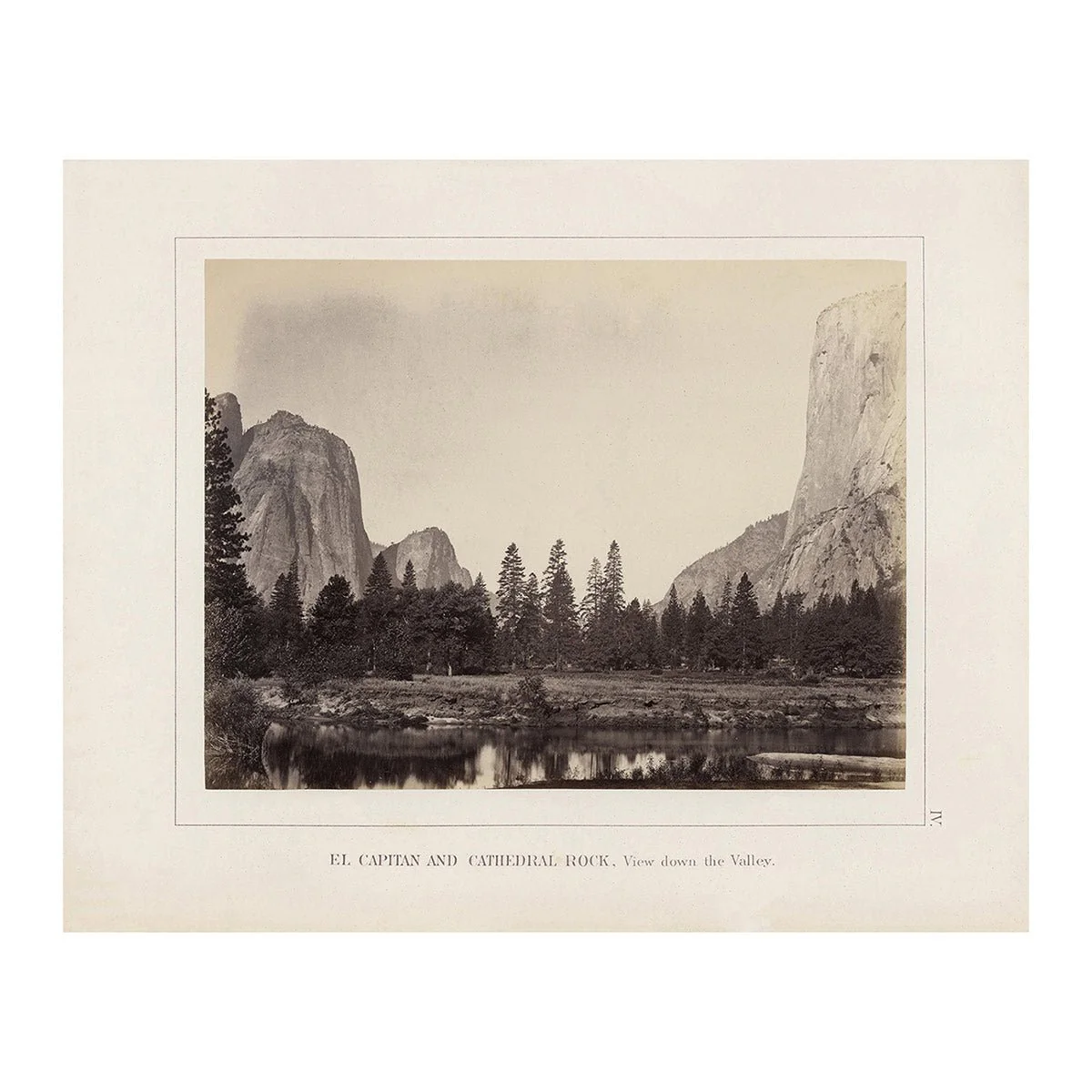
We love Yosemite, and we love this detailed historical map that gives us an intriguing glimpse into its past. The map is from The Yosemite Book, published in 1868, which was the result of a government survey lead by J.D. Watkins started five years earlier. The survey resulted in the most accurate and detailed maps of the Yosemite Valley from the time, along with photos that brought to life the splendor of the area. Soon after, President Lincoln signed into law the Yosemite Land Grant giving the Yosemite Valley and the Mariposa Grove to the state of California. In 1890, Yosemite became a National Park and in 1906 President Roosevelt brought it back under government control and expanded the National Park to the entire region we know it as today.
This is a reproduction print of the highest quality printed on heavyweight archival paper and inks.
Product Information
Product Information
Shipping & Returns
Shipping & Returns


Map of Yosemite Valley 1868
Map of Yosemite Valley 1868
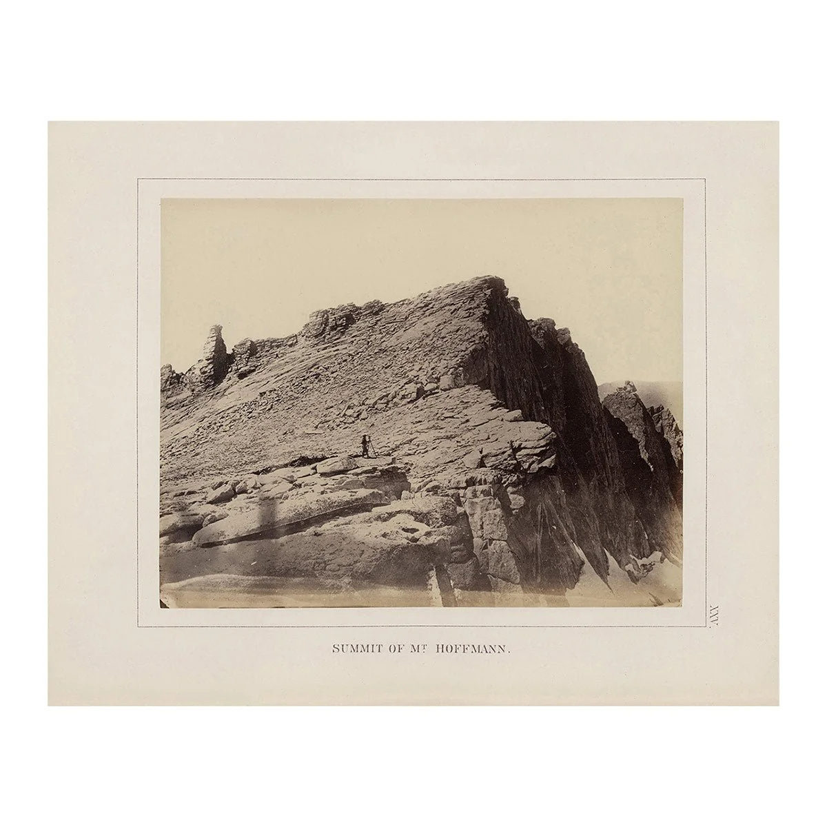
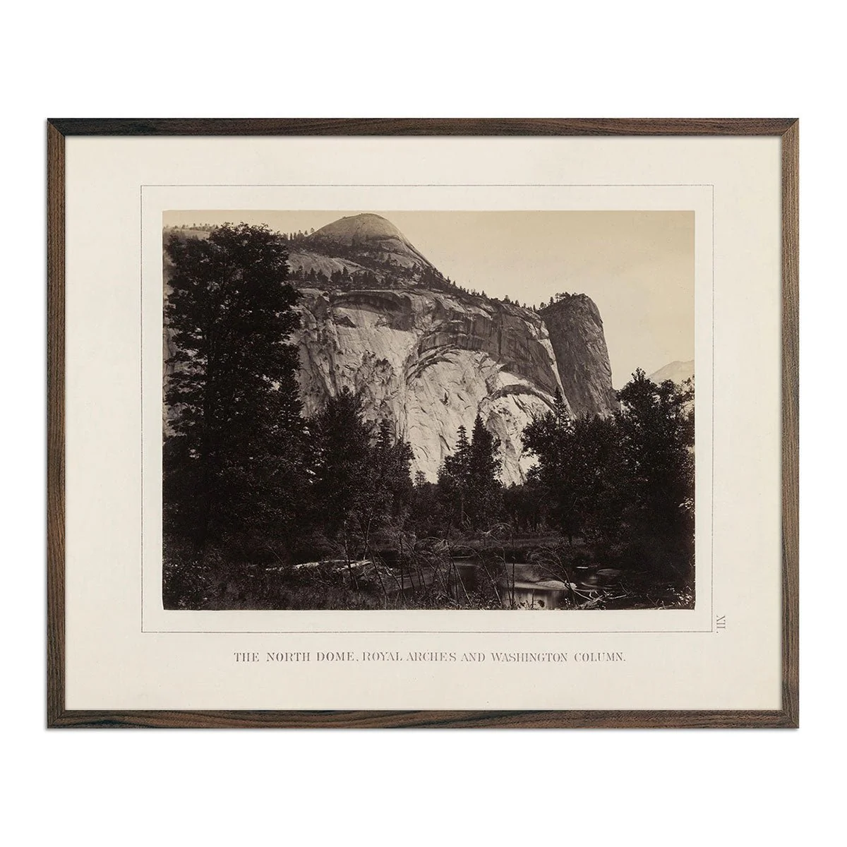
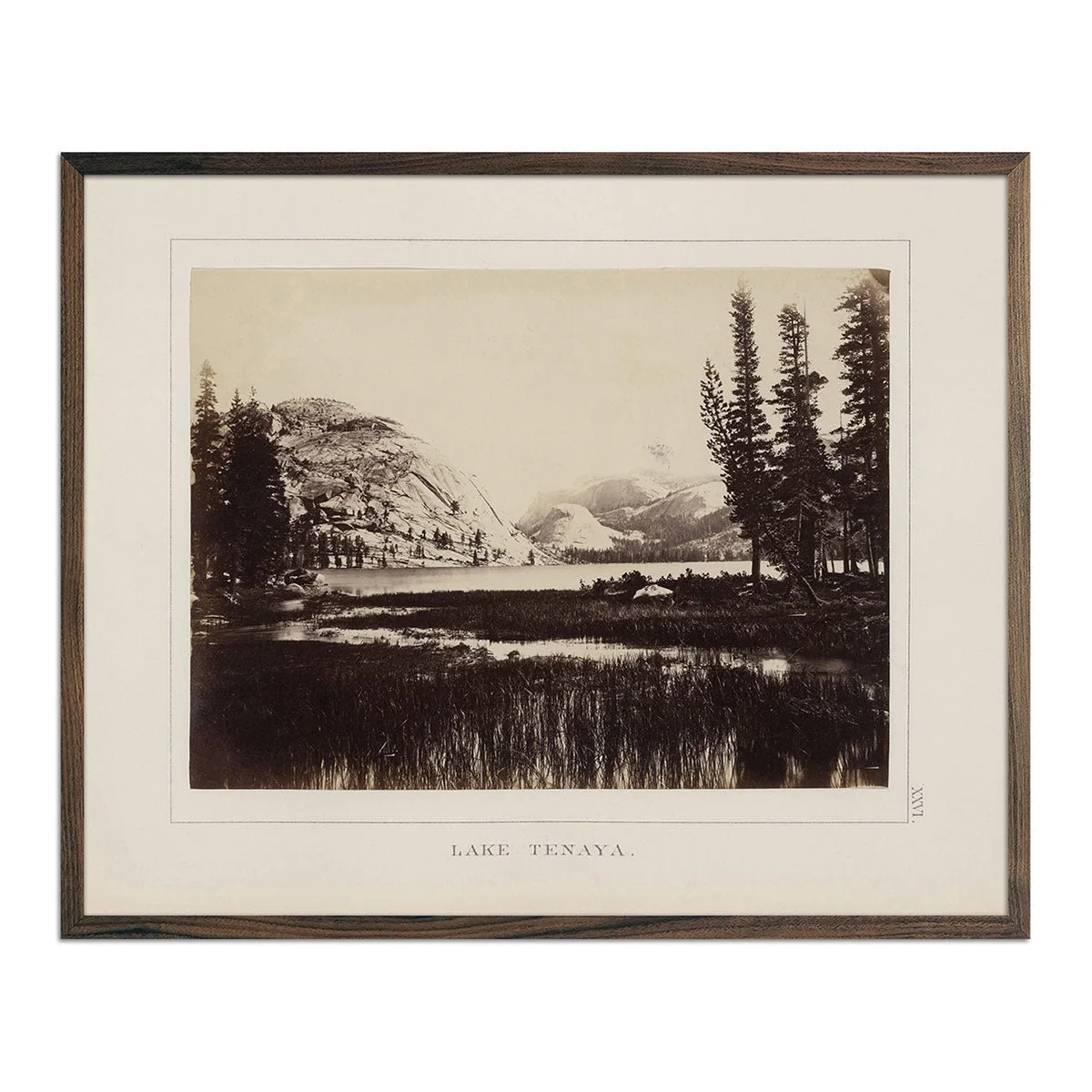
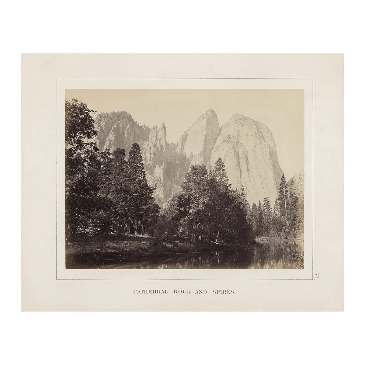
We love Yosemite, and we love this detailed historical map that gives us an intriguing glimpse into its past. The map is from The Yosemite Book, published in 1868, which was the result of a government survey lead by J.D. Watkins started five years earlier. The survey resulted in the most accurate and detailed maps of the Yosemite Valley from the time, along with photos that brought to life the splendor of the area. Soon after, President Lincoln signed into law the Yosemite Land Grant giving the Yosemite Valley and the Mariposa Grove to the state of California. In 1890, Yosemite became a National Park and in 1906 President Roosevelt brought it back under government control and expanded the National Park to the entire region we know it as today.
This is a reproduction print of the highest quality printed on heavyweight archival paper and inks.
Original: $6,200.00
-70%$6,200.00
$1,860.00Product Information
Product Information
Shipping & Returns
Shipping & Returns
Description
We love Yosemite, and we love this detailed historical map that gives us an intriguing glimpse into its past. The map is from The Yosemite Book, published in 1868, which was the result of a government survey lead by J.D. Watkins started five years earlier. The survey resulted in the most accurate and detailed maps of the Yosemite Valley from the time, along with photos that brought to life the splendor of the area. Soon after, President Lincoln signed into law the Yosemite Land Grant giving the Yosemite Valley and the Mariposa Grove to the state of California. In 1890, Yosemite became a National Park and in 1906 President Roosevelt brought it back under government control and expanded the National Park to the entire region we know it as today.
This is a reproduction print of the highest quality printed on heavyweight archival paper and inks.