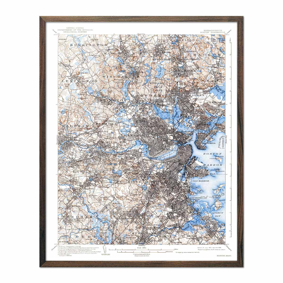
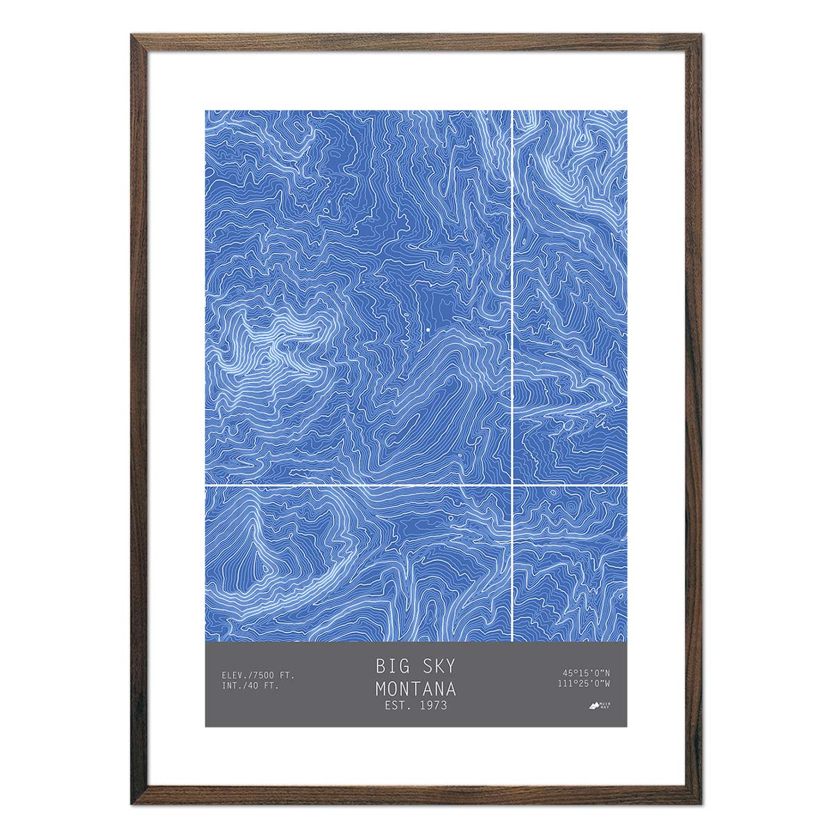
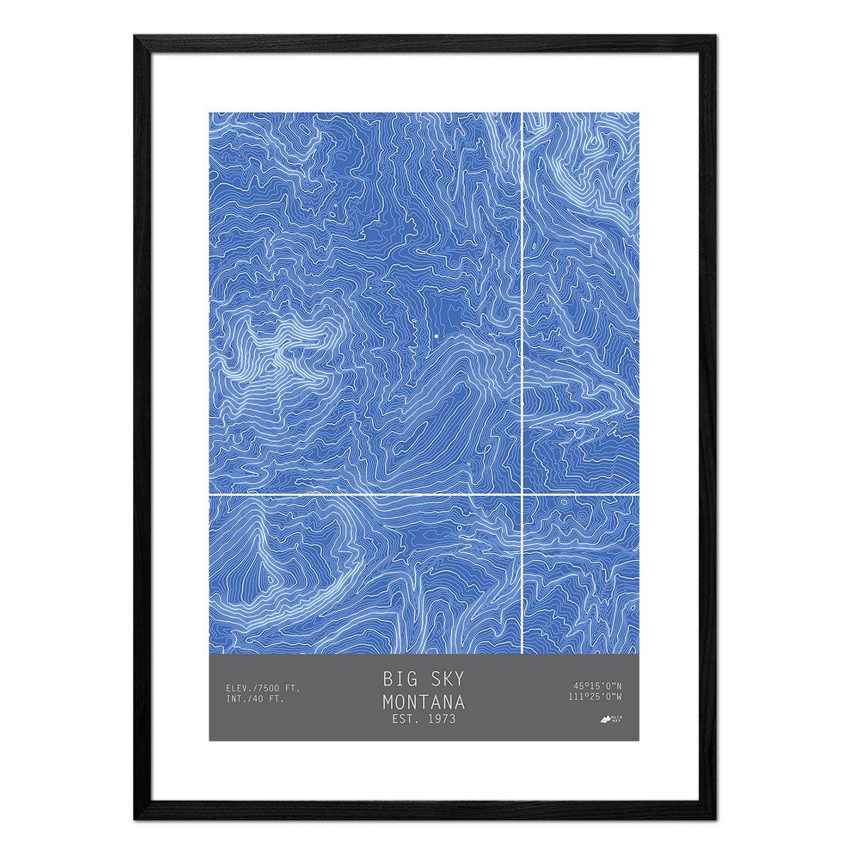
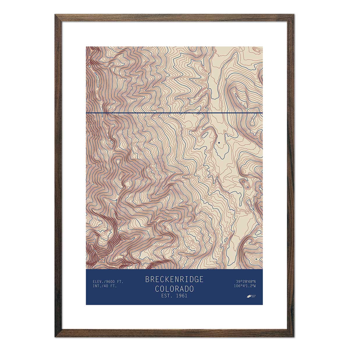
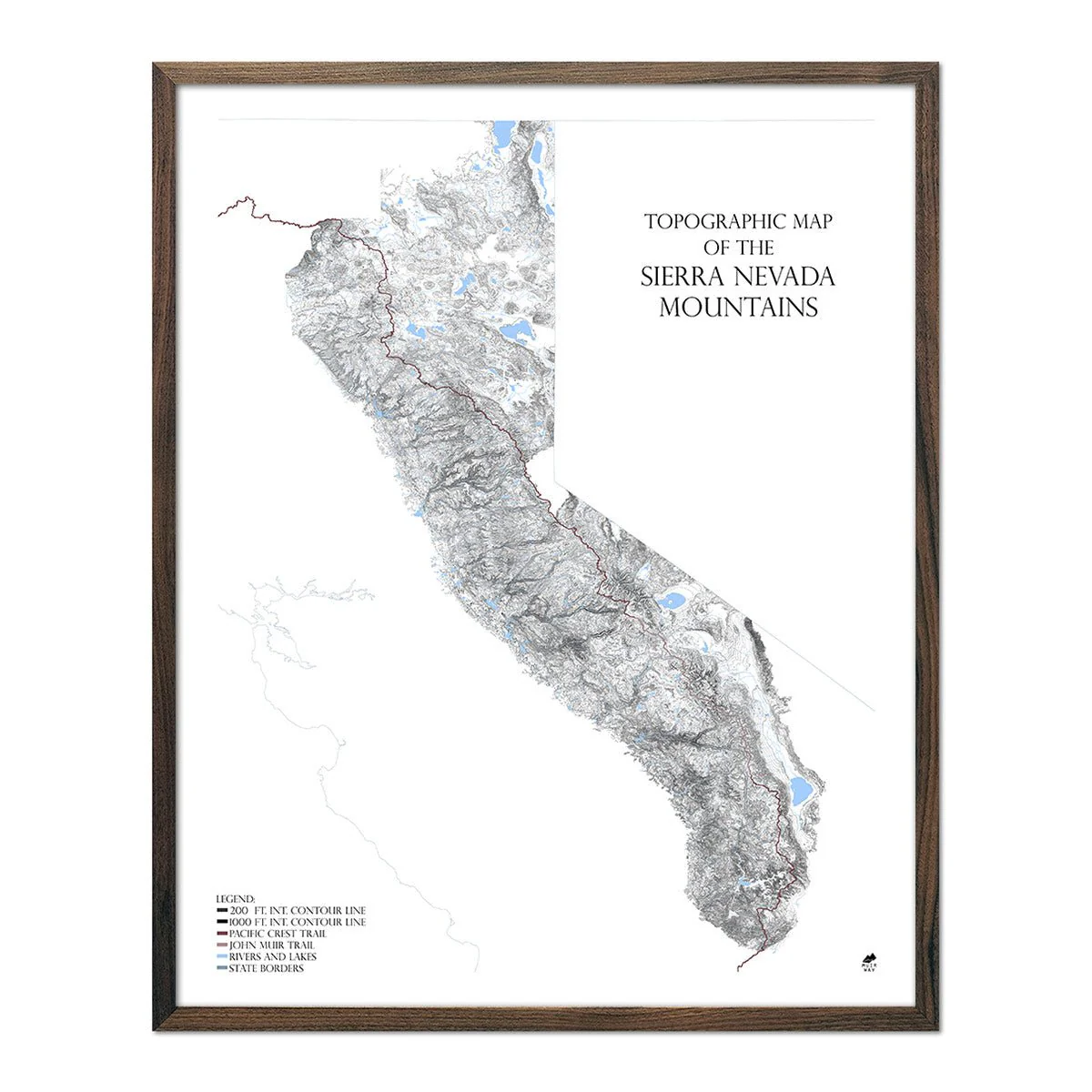
Mountain Summit Map of America
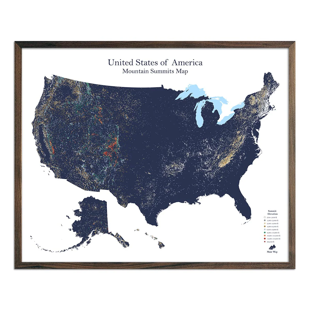
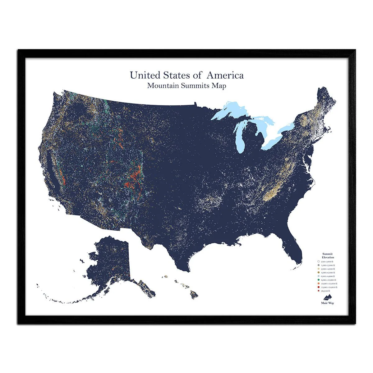
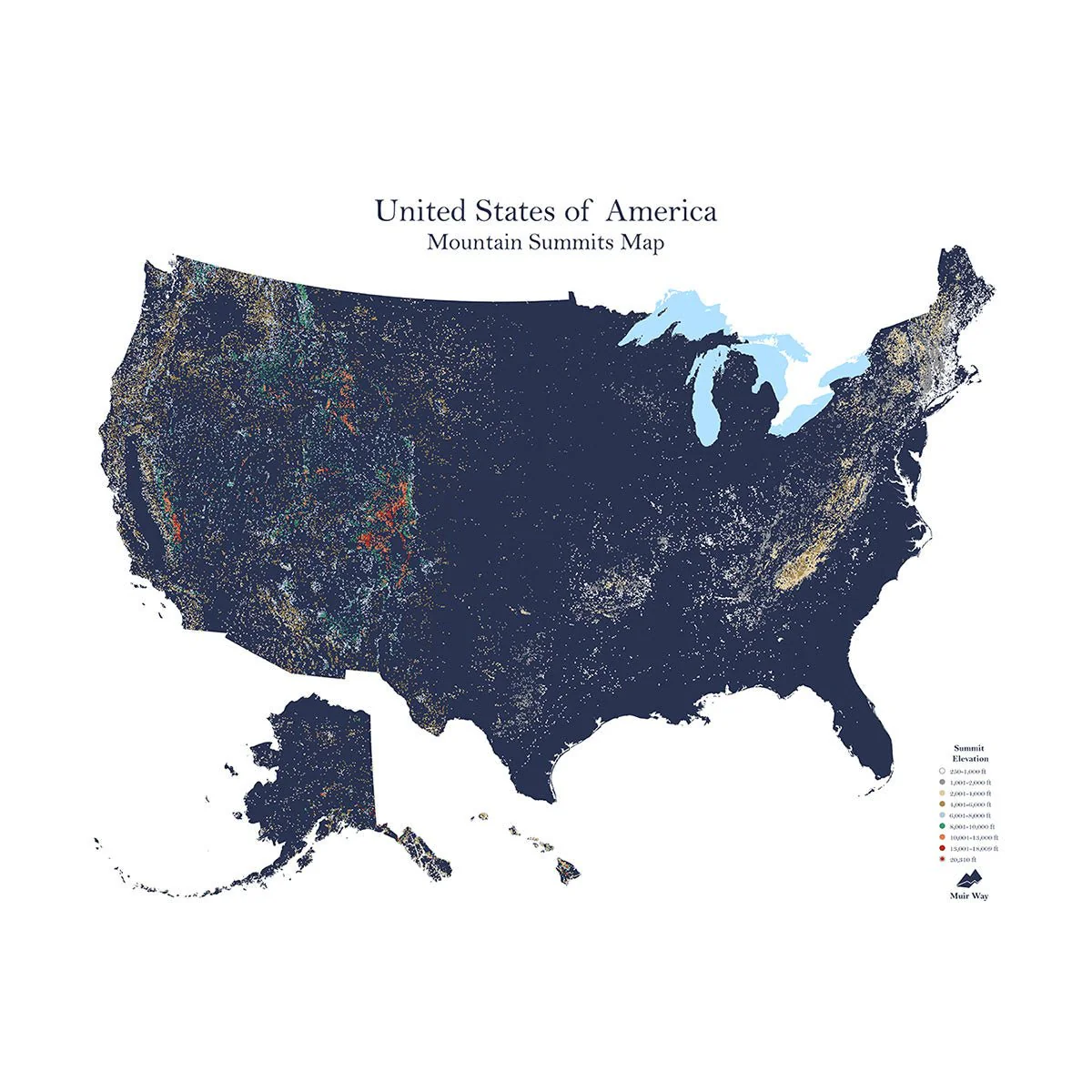
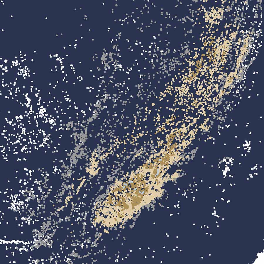
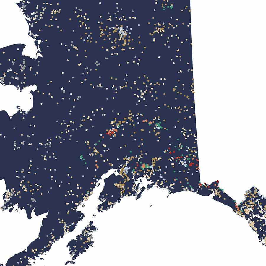
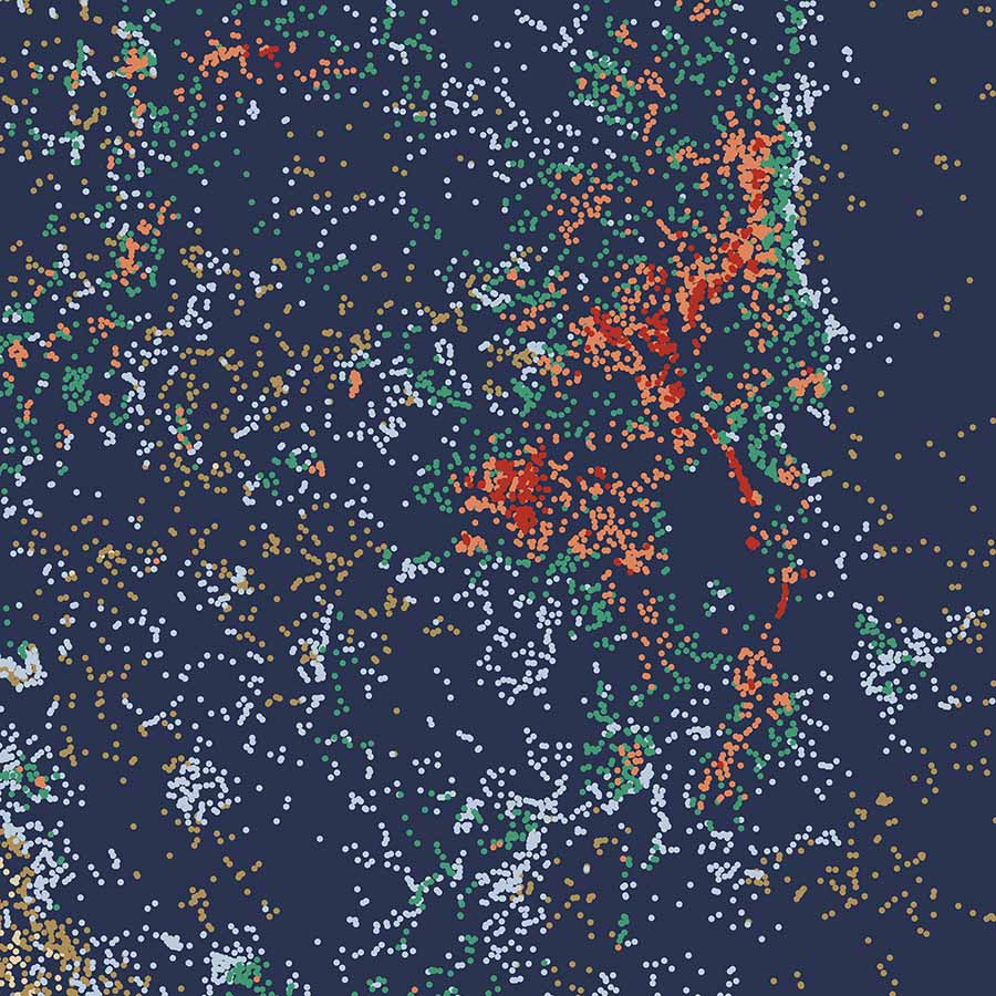
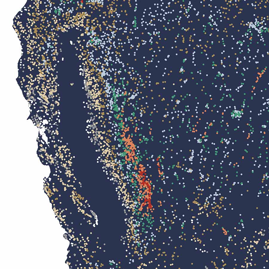
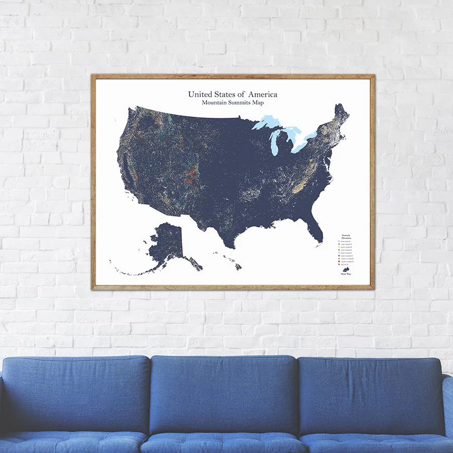
We gave ourselves the toughest cartographical challenge we’d ever undertaken—to show every mountain summit in the United States on a single map. We did it! And we’re proud of the outcome. Our Mountain Summit Map of America shows over 60,000 summits in the country that rise 250 feet or higher. Looking for your favorite? Trust us—it’s there. Hint: The dots that represent summits are color-coded by elevation; red being the highest. It’s a one-of-a-kind map that graphically represents the complete topography of America, from hill-dotted plains to magnificent Denali.
Product Information
Product Information
Shipping & Returns
Shipping & Returns
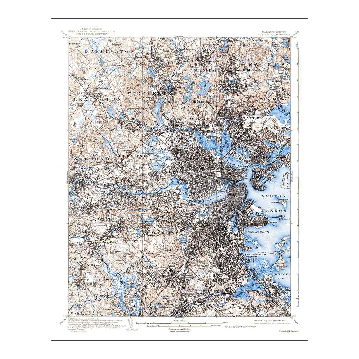
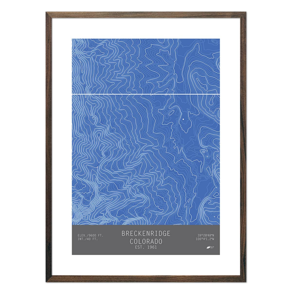
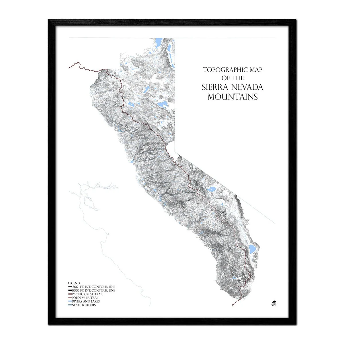
Mountain Summit Map of America
Mountain Summit Map of America
We gave ourselves the toughest cartographical challenge we’d ever undertaken—to show every mountain summit in the United States on a single map. We did it! And we’re proud of the outcome. Our Mountain Summit Map of America shows over 60,000 summits in the country that rise 250 feet or higher. Looking for your favorite? Trust us—it’s there. Hint: The dots that represent summits are color-coded by elevation; red being the highest. It’s a one-of-a-kind map that graphically represents the complete topography of America, from hill-dotted plains to magnificent Denali.
Original: $3,449,000.00
-70%$3,449,000.00
$1,034,700.00Product Information
Product Information
Shipping & Returns
Shipping & Returns
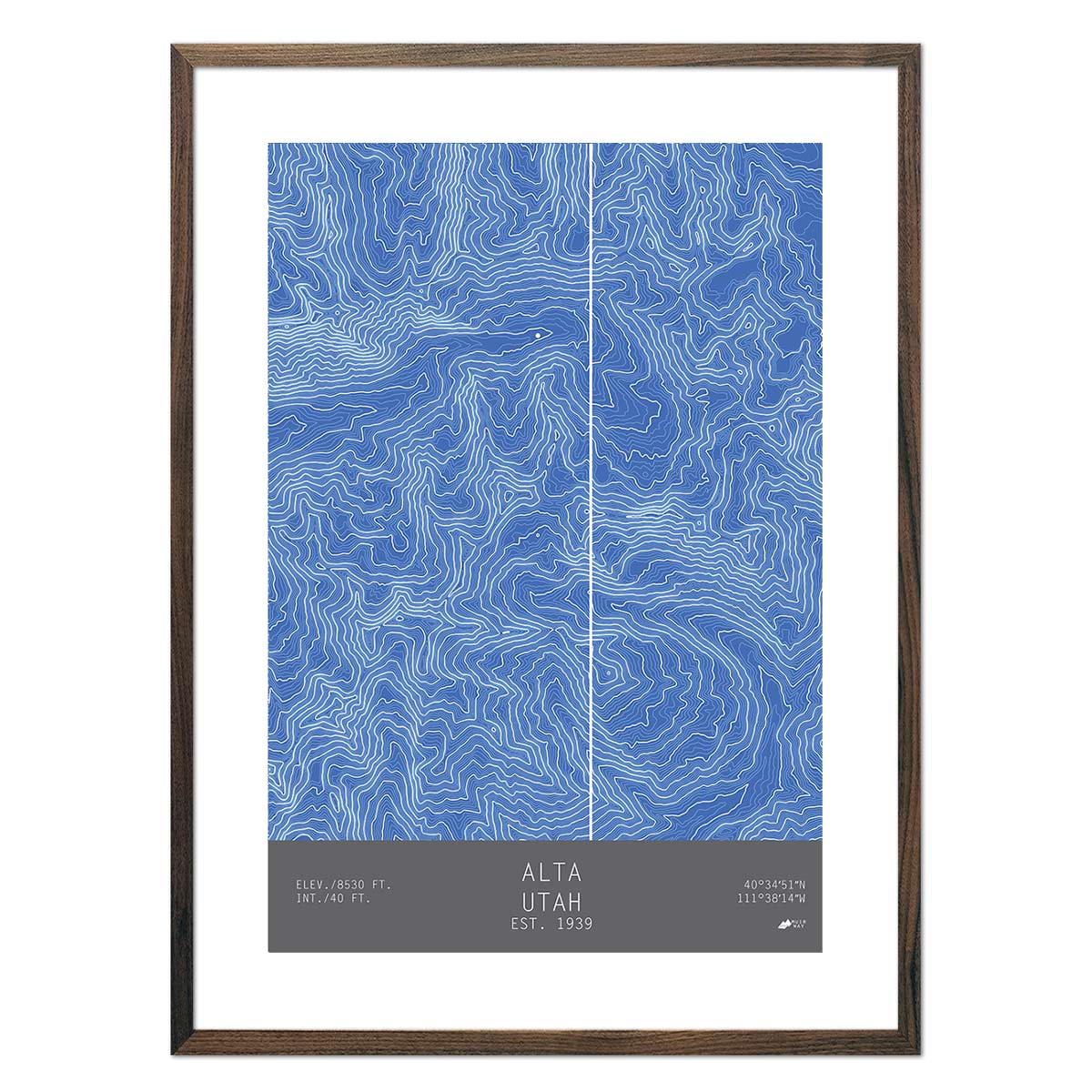
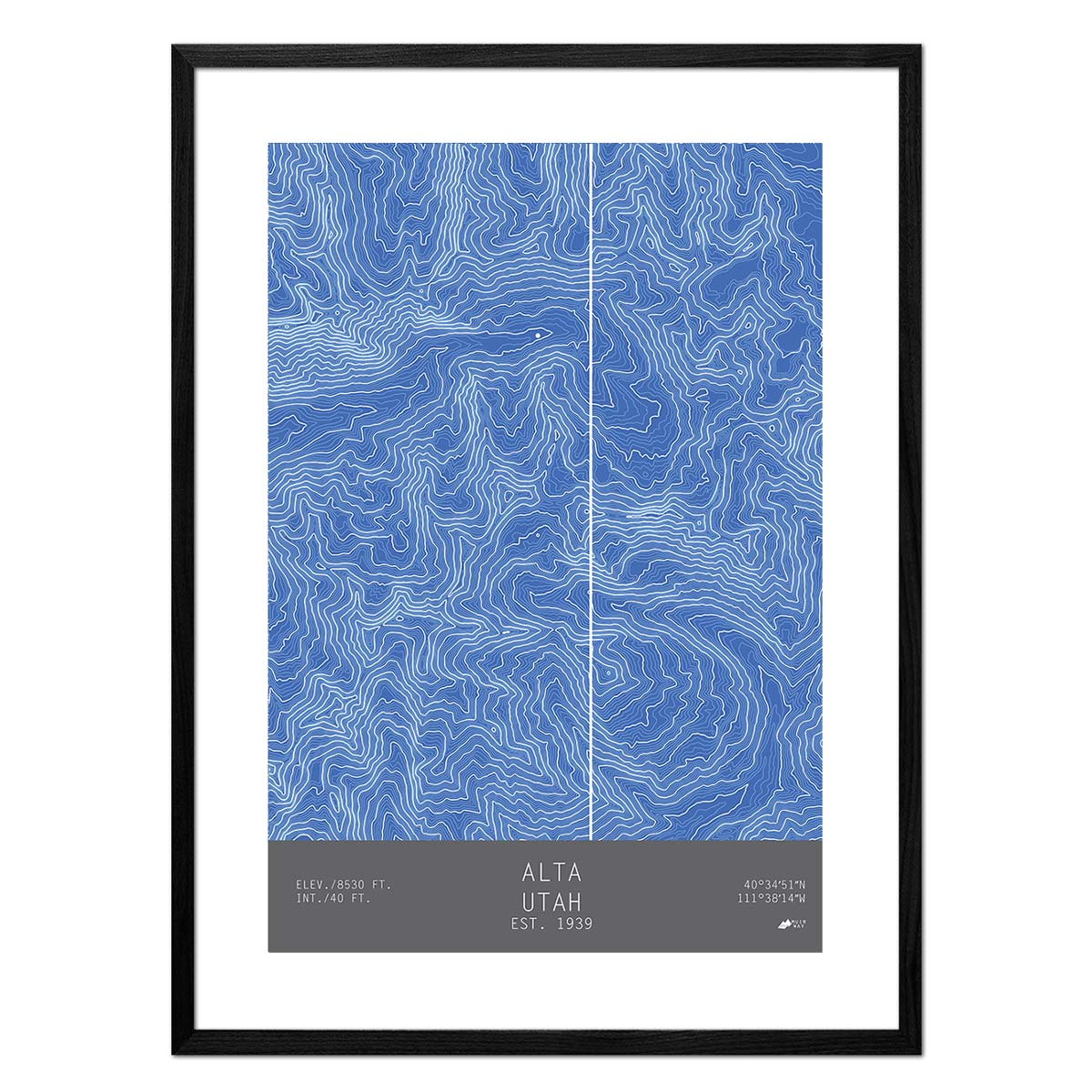
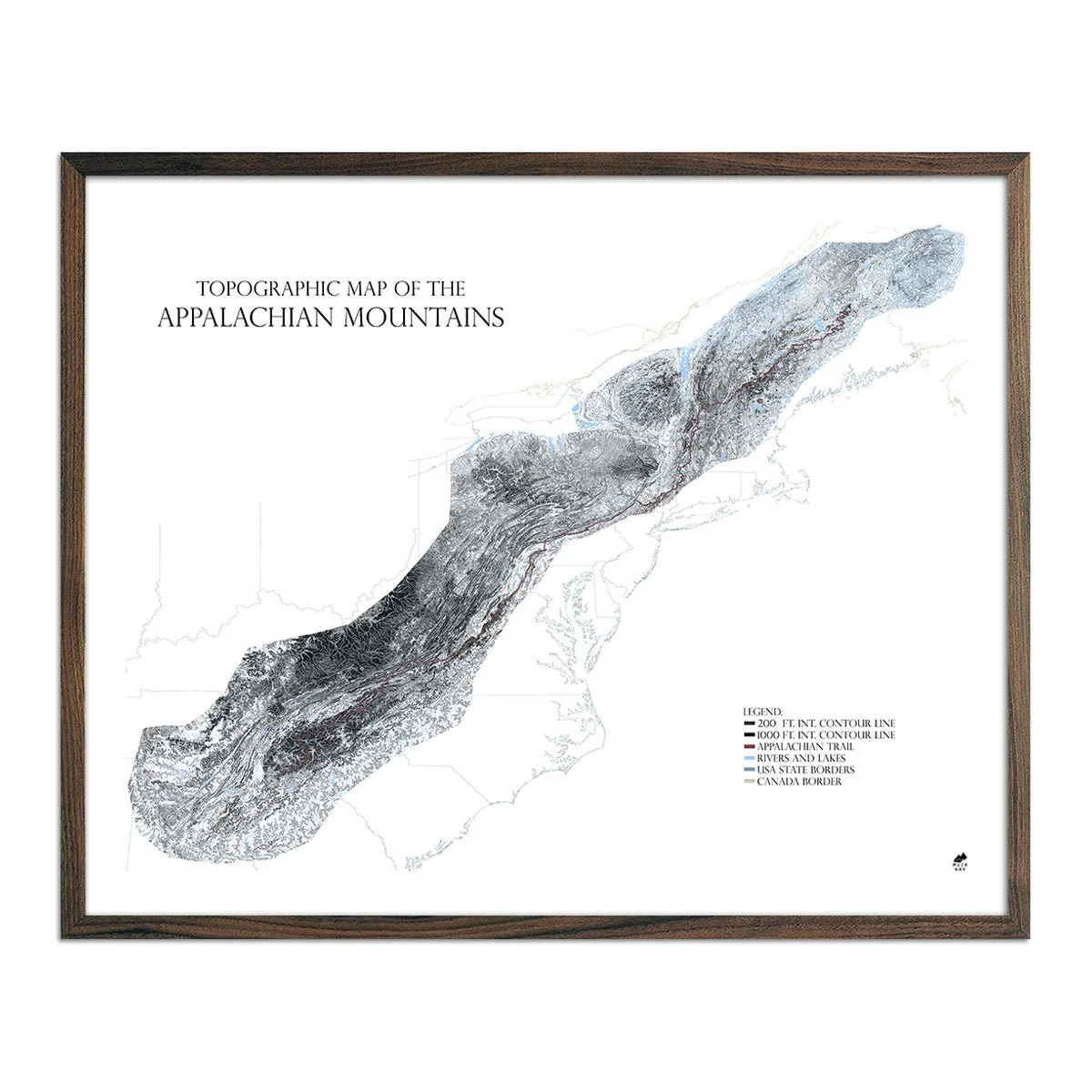
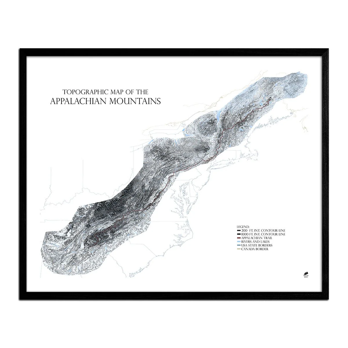
Description
We gave ourselves the toughest cartographical challenge we’d ever undertaken—to show every mountain summit in the United States on a single map. We did it! And we’re proud of the outcome. Our Mountain Summit Map of America shows over 60,000 summits in the country that rise 250 feet or higher. Looking for your favorite? Trust us—it’s there. Hint: The dots that represent summits are color-coded by elevation; red being the highest. It’s a one-of-a-kind map that graphically represents the complete topography of America, from hill-dotted plains to magnificent Denali.