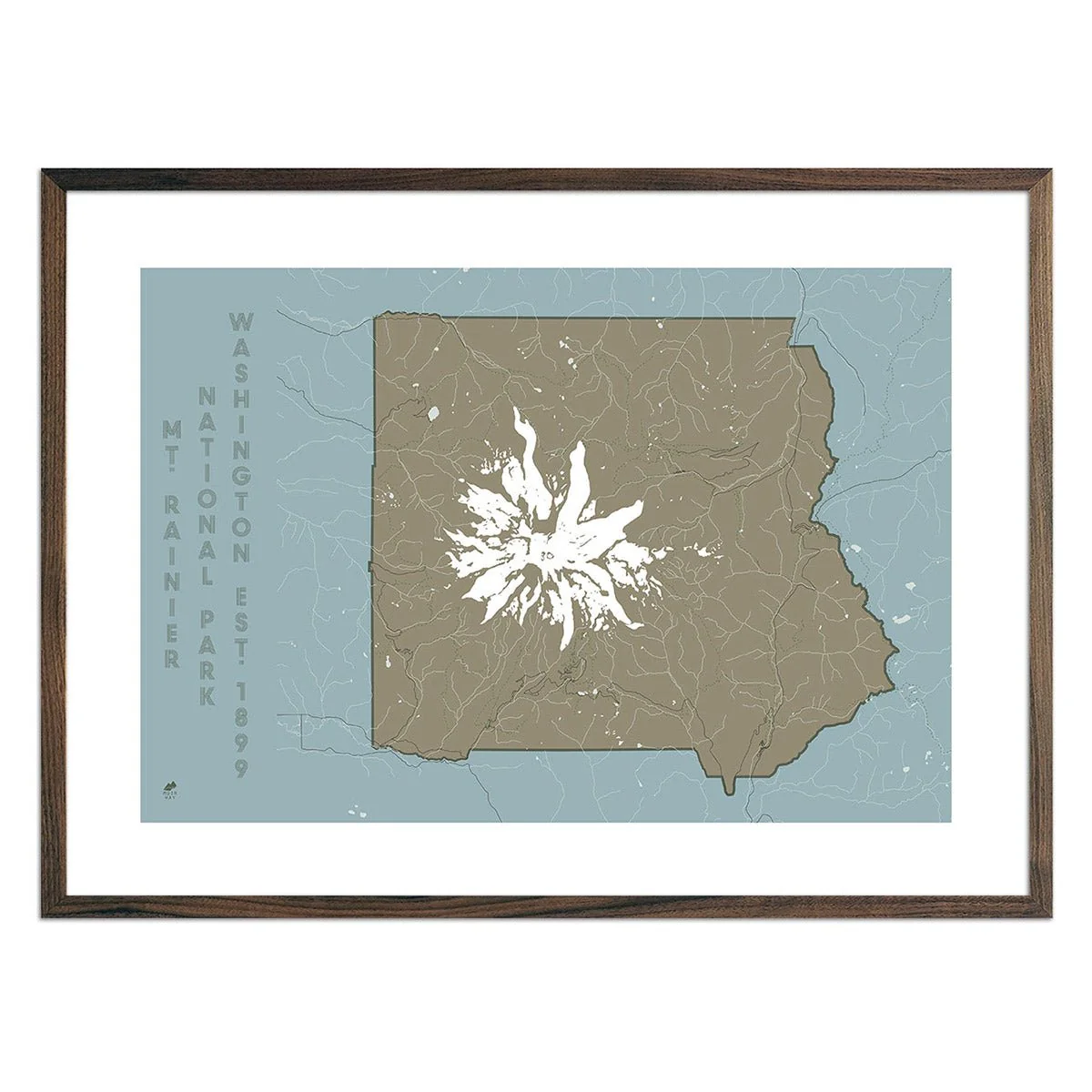
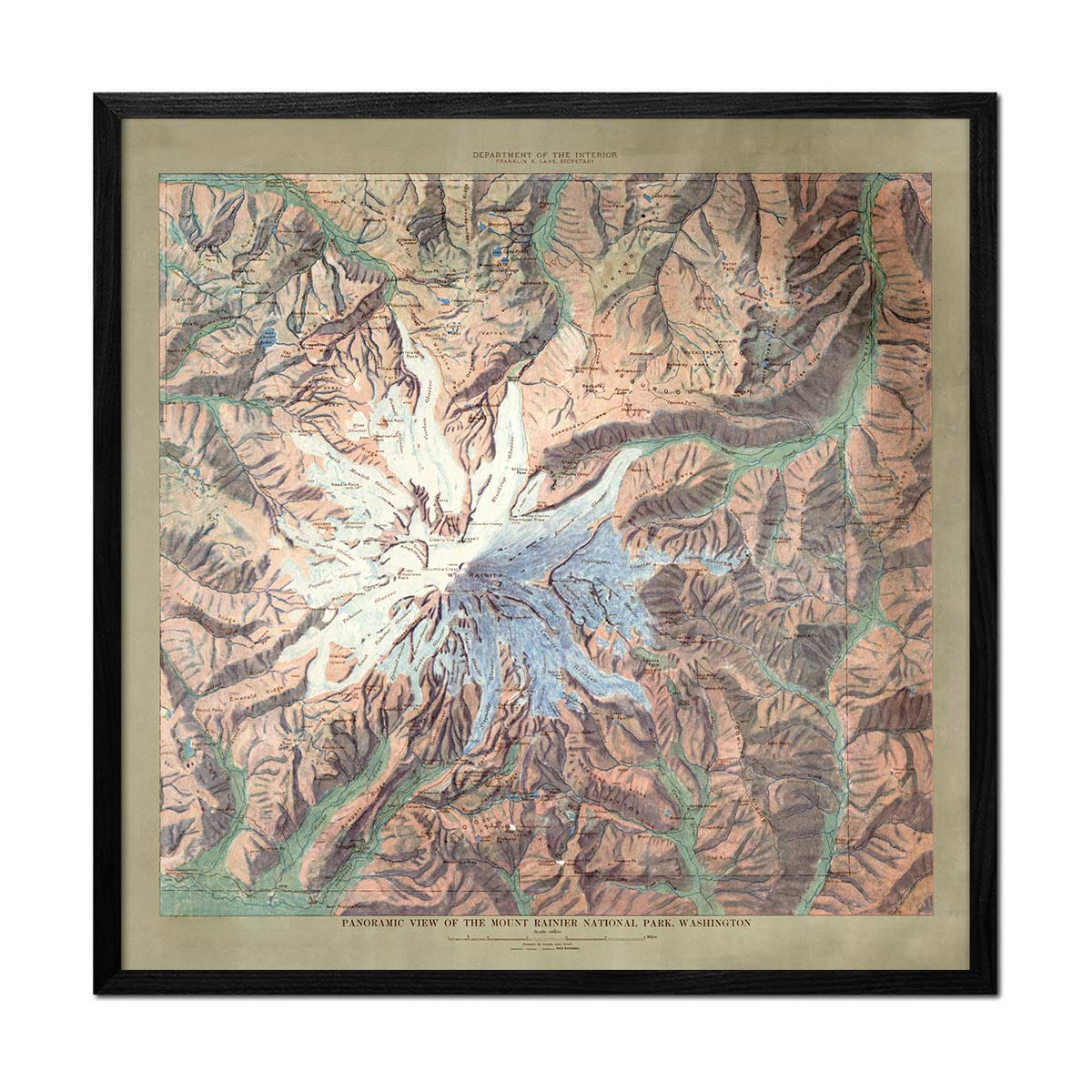
Mt. Rainier National Park Map 1914
A longtime USGS employee, John H. Renshaw, used existing topographic data of the area to create his relief map of Mt. Rainier. He replaced the contour lines from previously created USGS topographic maps with color gradations to indicate the relief. The resulting full-color map of the park beautifully illustrated the topographic features, including rivers, roads, trails, and other points of interest.
Product Information
Product Information
Shipping & Returns
Shipping & Returns

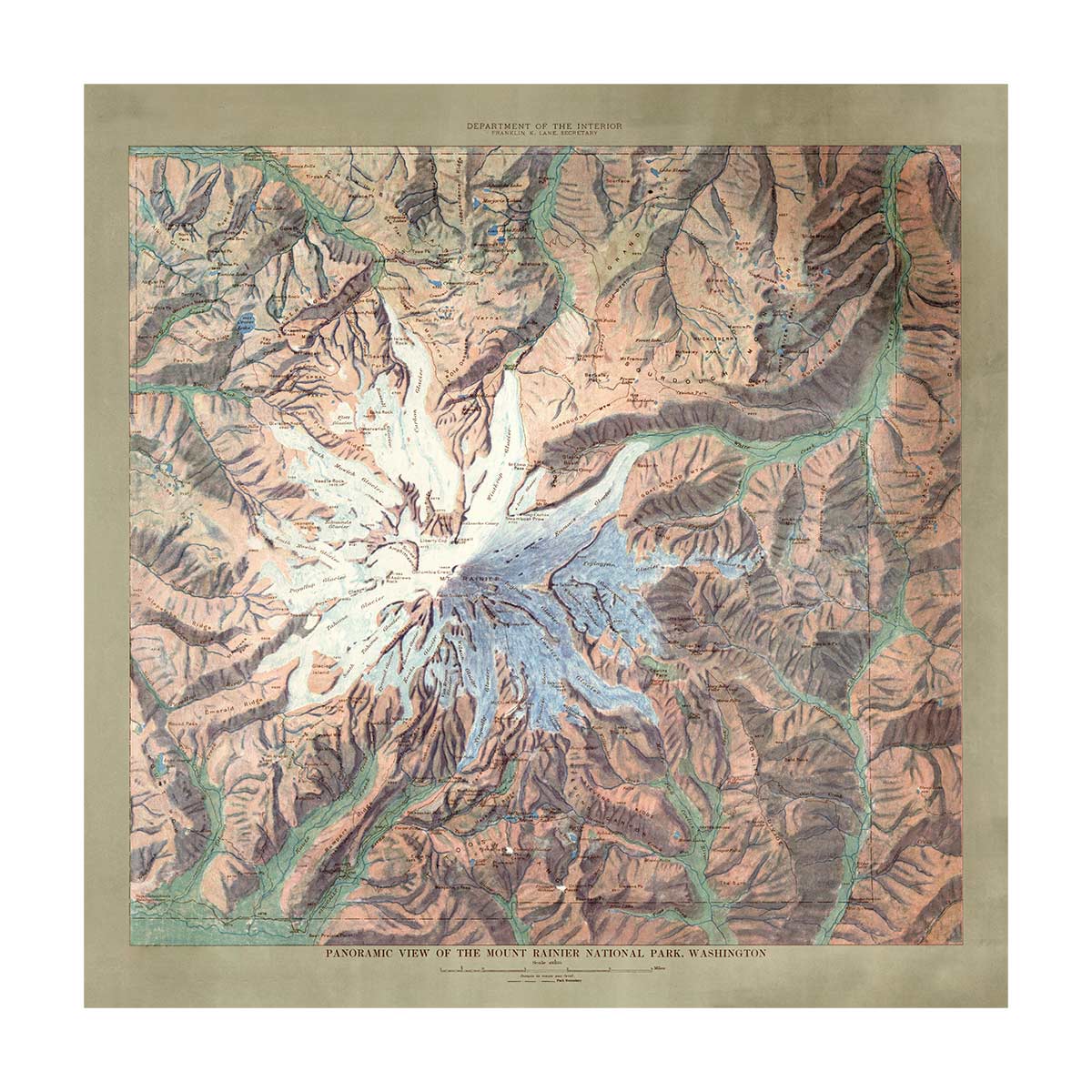
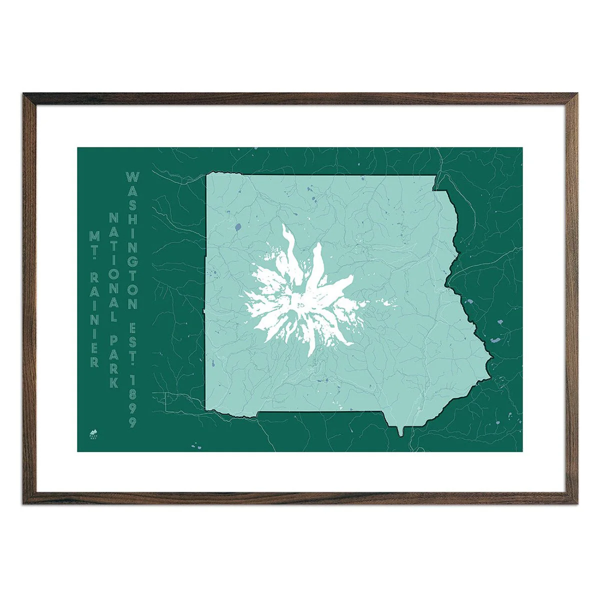
Mt. Rainier National Park Map 1914
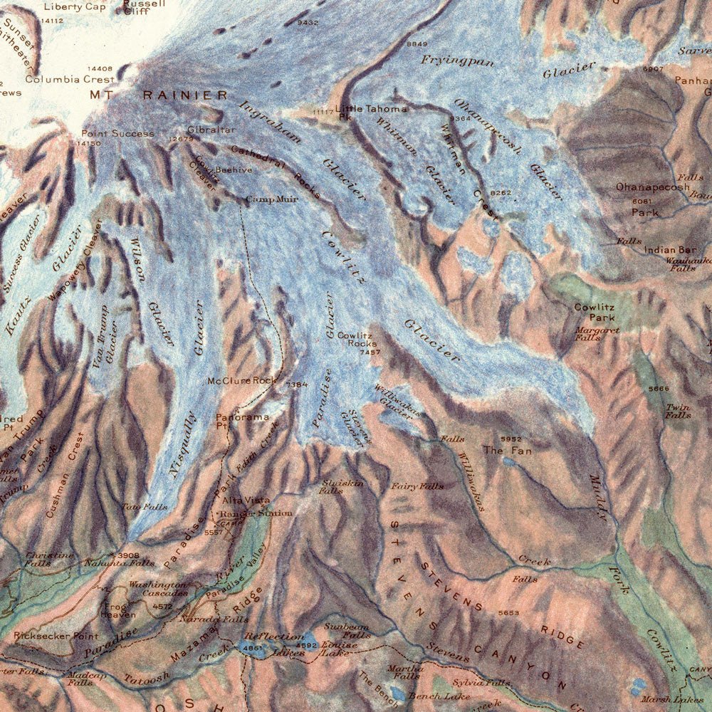
Mt. Rainier National Park Map 1914
A longtime USGS employee, John H. Renshaw, used existing topographic data of the area to create his relief map of Mt. Rainier. He replaced the contour lines from previously created USGS topographic maps with color gradations to indicate the relief. The resulting full-color map of the park beautifully illustrated the topographic features, including rivers, roads, trails, and other points of interest.
Product Information
Product Information
Shipping & Returns
Shipping & Returns
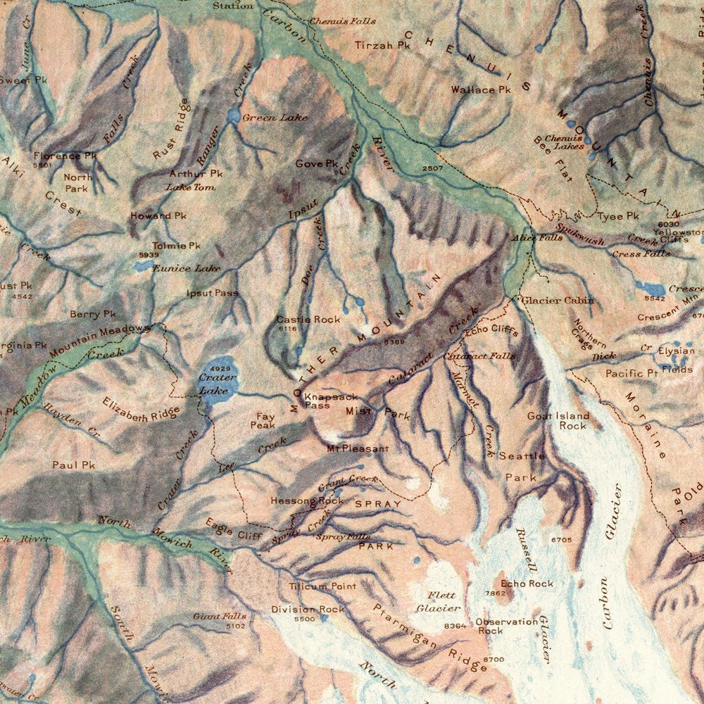
Description
A longtime USGS employee, John H. Renshaw, used existing topographic data of the area to create his relief map of Mt. Rainier. He replaced the contour lines from previously created USGS topographic maps with color gradations to indicate the relief. The resulting full-color map of the park beautifully illustrated the topographic features, including rivers, roads, trails, and other points of interest.