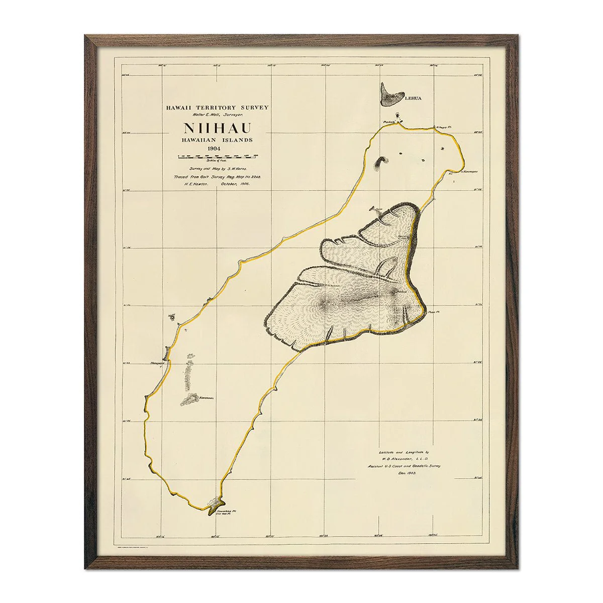
Niihau Island 1904 Map
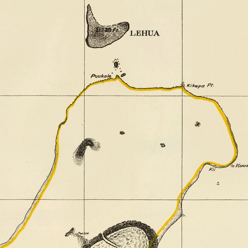
A beautifully restored map of Niihau Island from 1904. This reproduction print was part of a series of maps done of the Hawaiian Islands with data from Walter E. Wall. It was a color lithographed map with relief shown by contours, spot heights, and hachures.
Product Information
Product Information
Shipping & Returns
Shipping & Returns

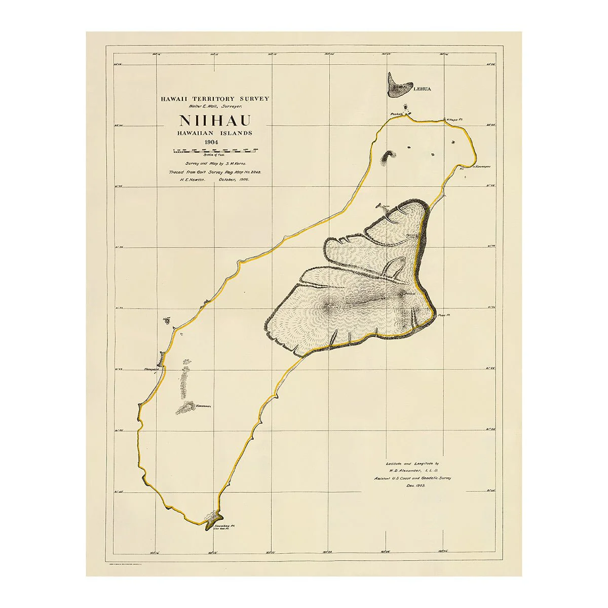

Niihau Island 1904 Map
Niihau Island 1904 Map
A beautifully restored map of Niihau Island from 1904. This reproduction print was part of a series of maps done of the Hawaiian Islands with data from Walter E. Wall. It was a color lithographed map with relief shown by contours, spot heights, and hachures.
Original: $5,800.00
-70%$5,800.00
$1,740.00Product Information
Product Information
Shipping & Returns
Shipping & Returns
Description
A beautifully restored map of Niihau Island from 1904. This reproduction print was part of a series of maps done of the Hawaiian Islands with data from Walter E. Wall. It was a color lithographed map with relief shown by contours, spot heights, and hachures.