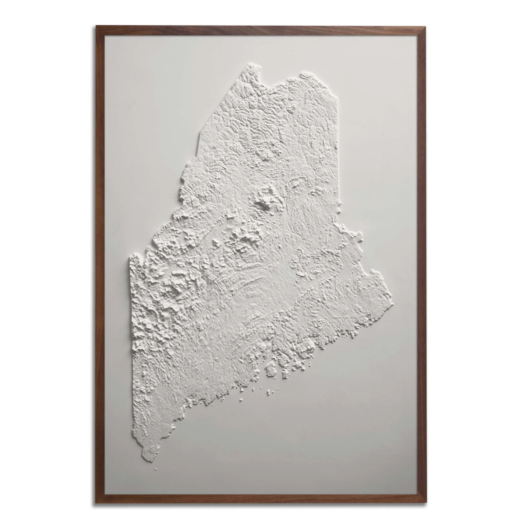
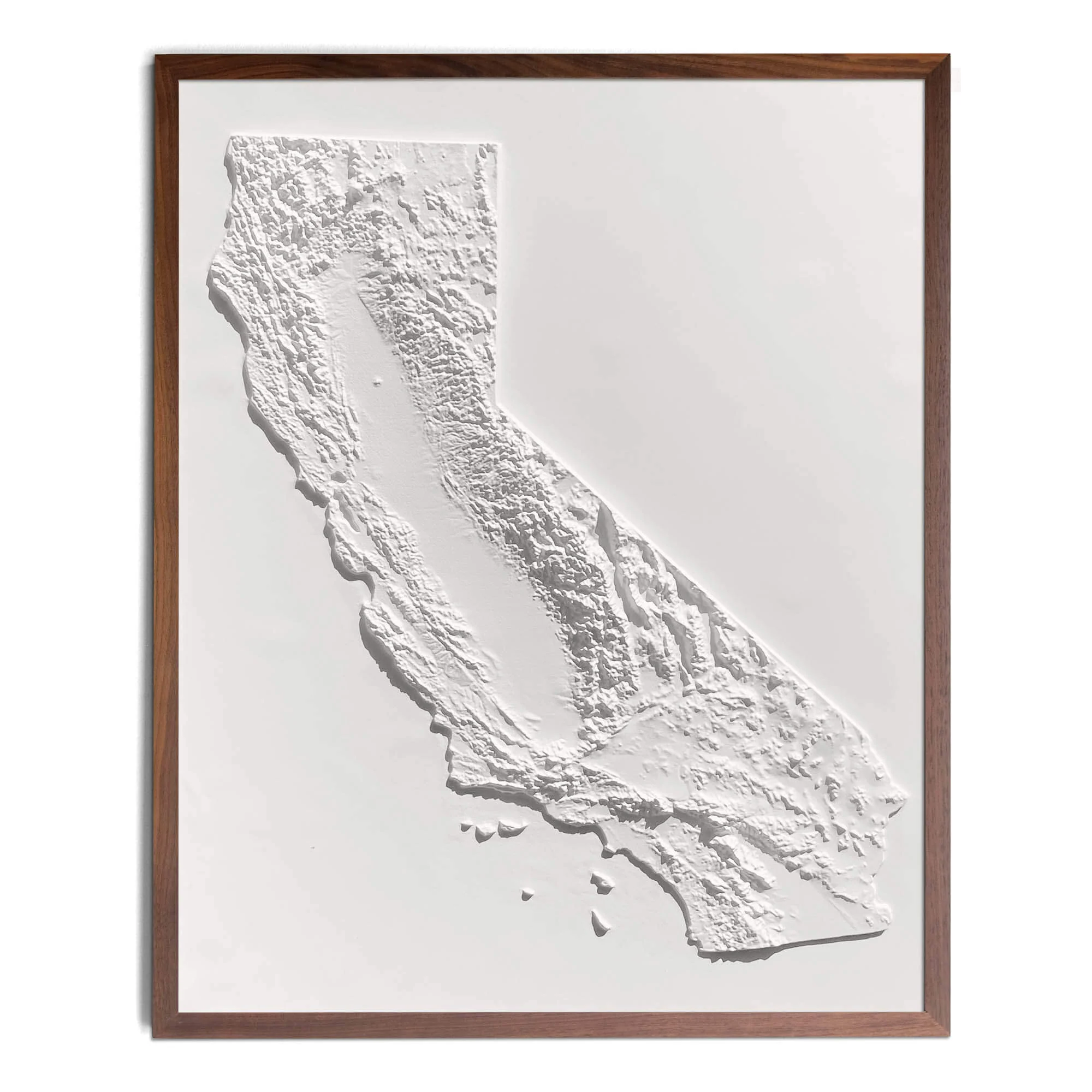
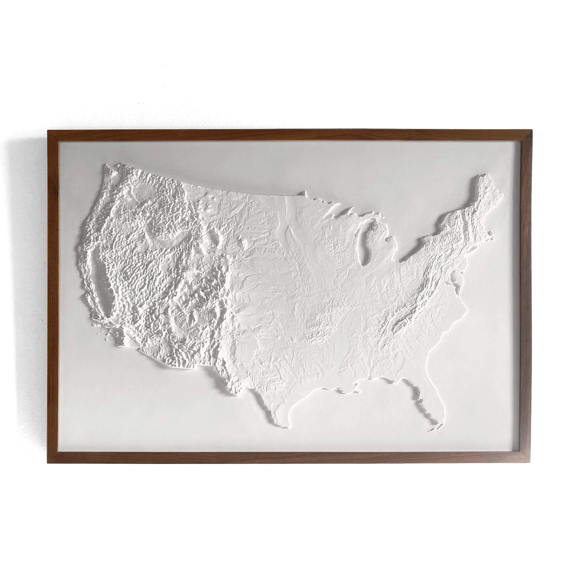
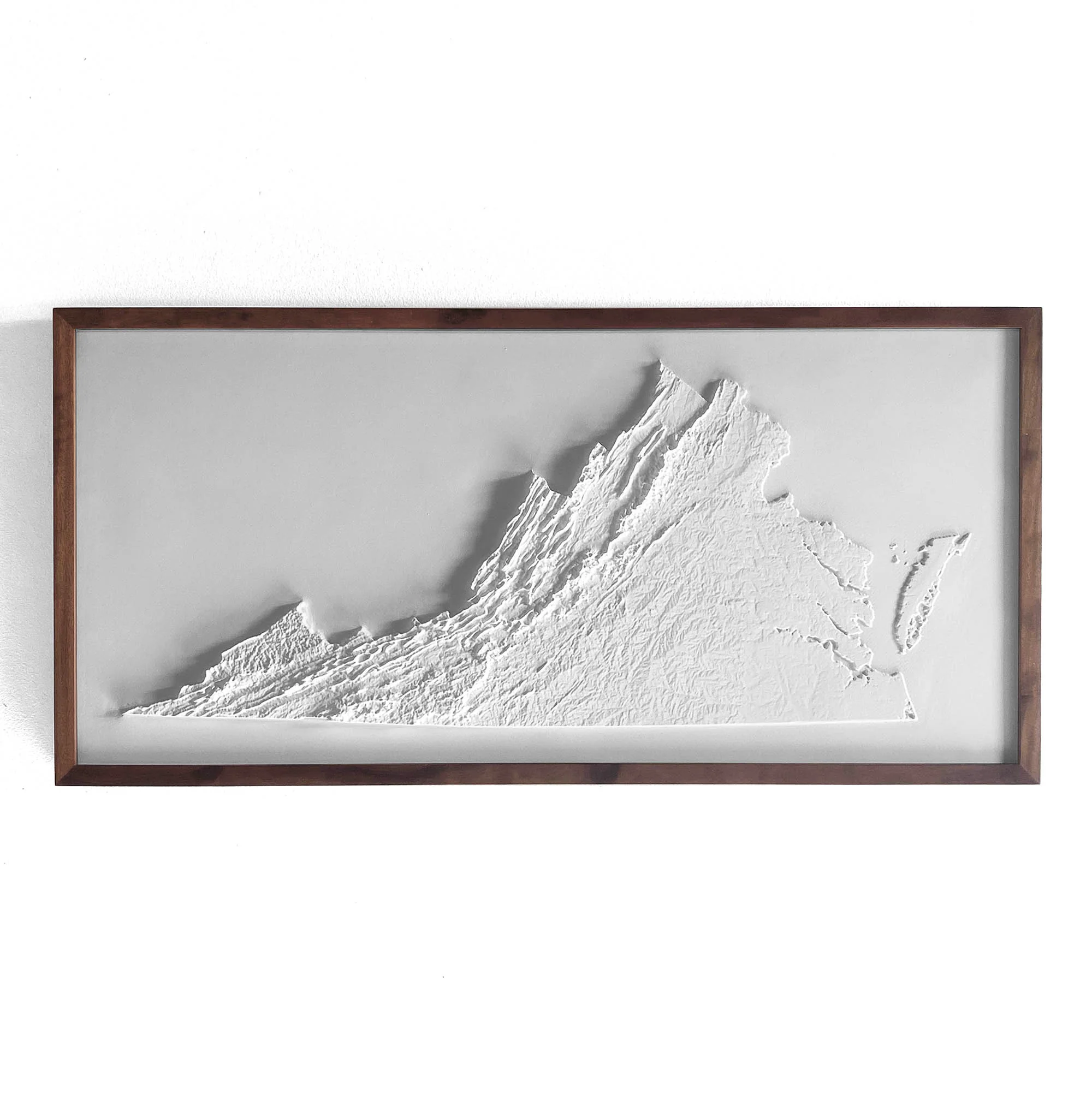
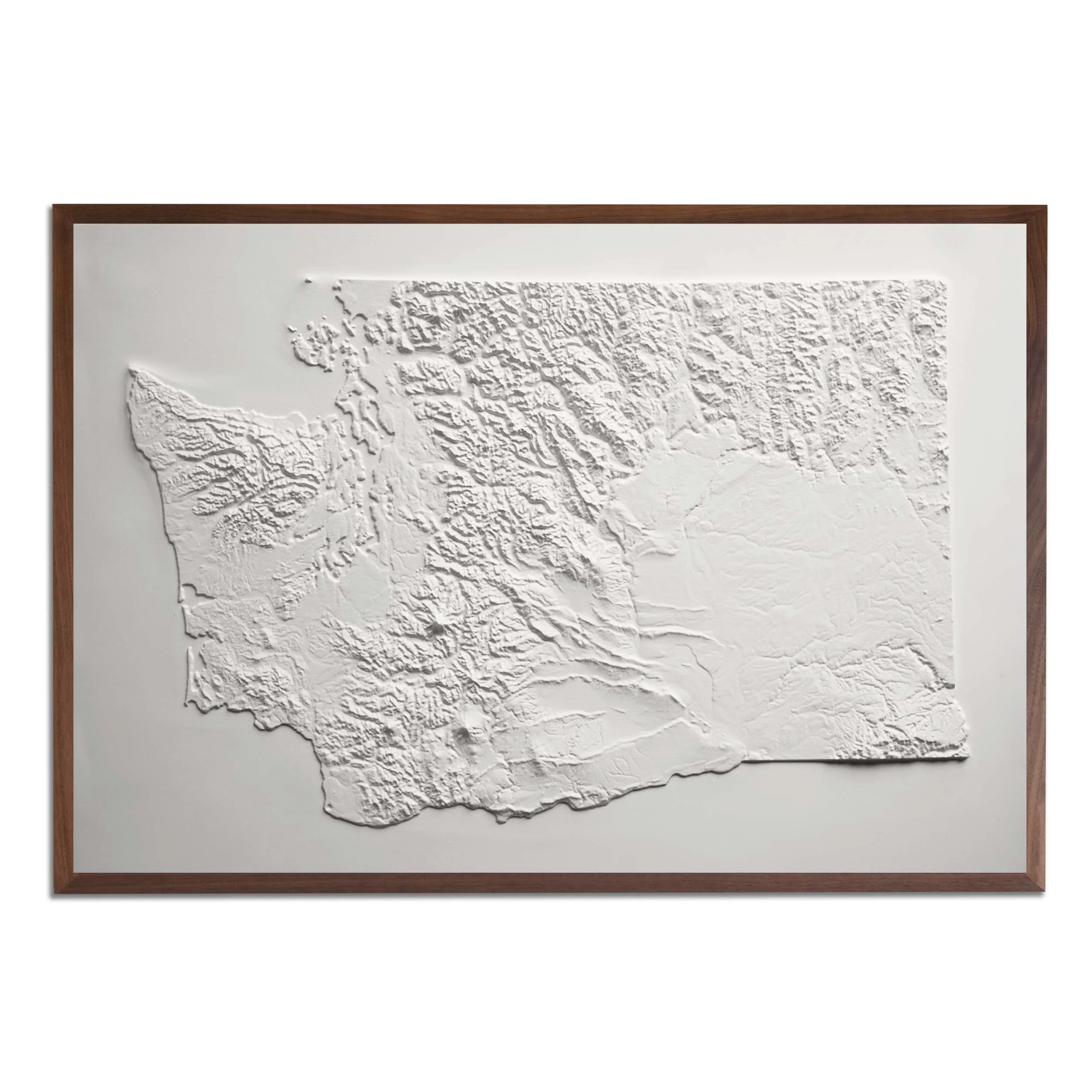
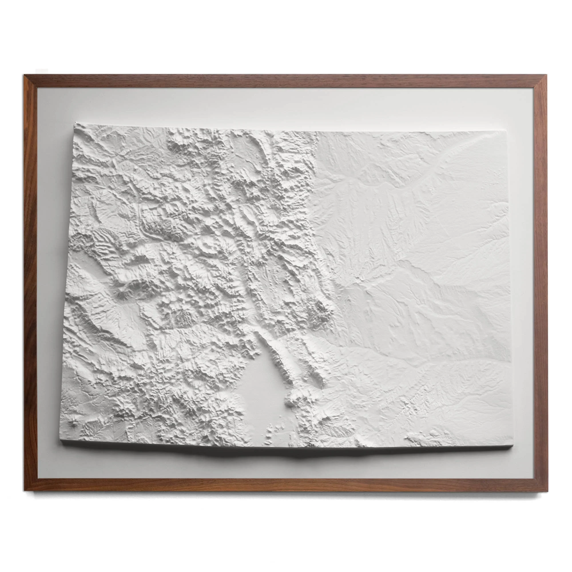
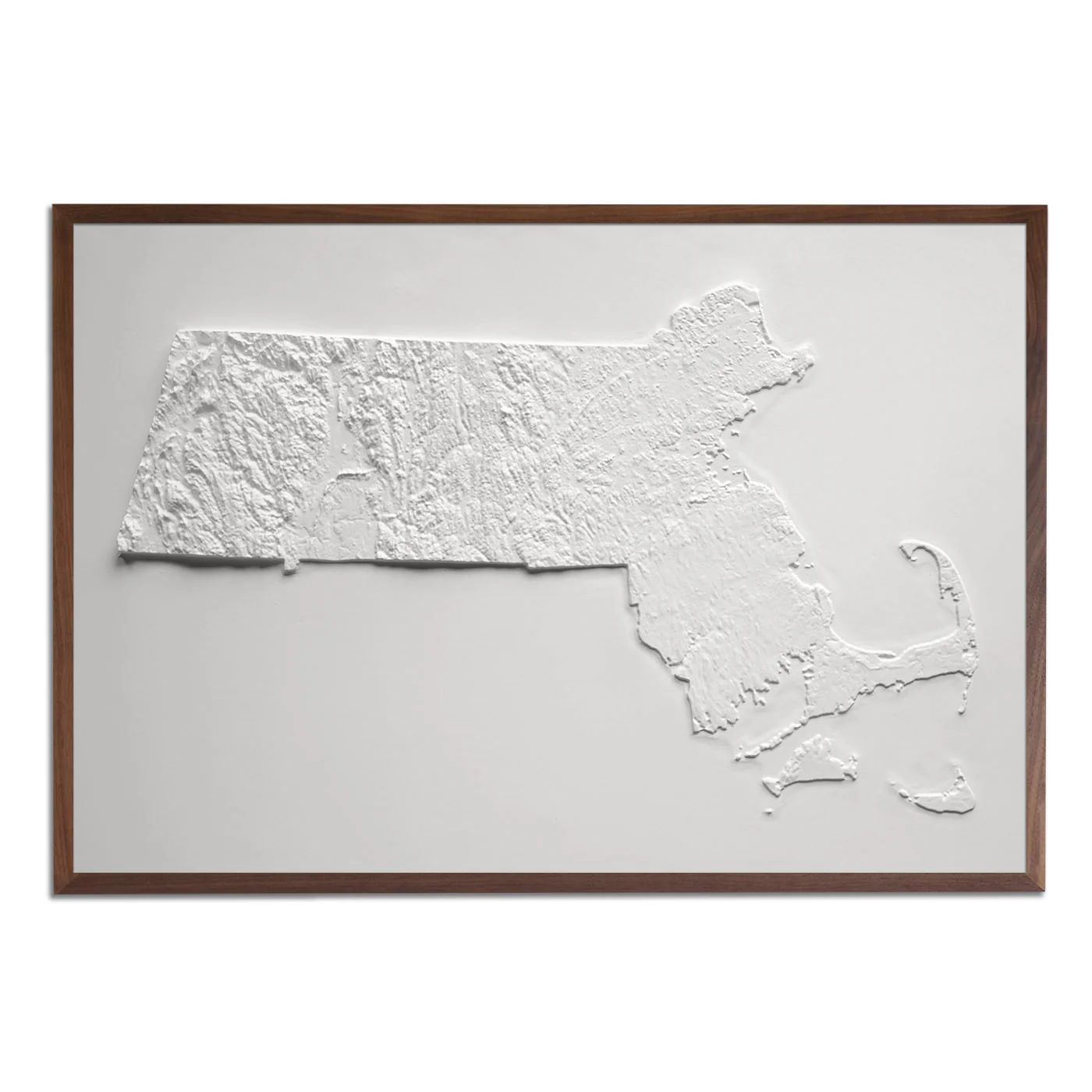
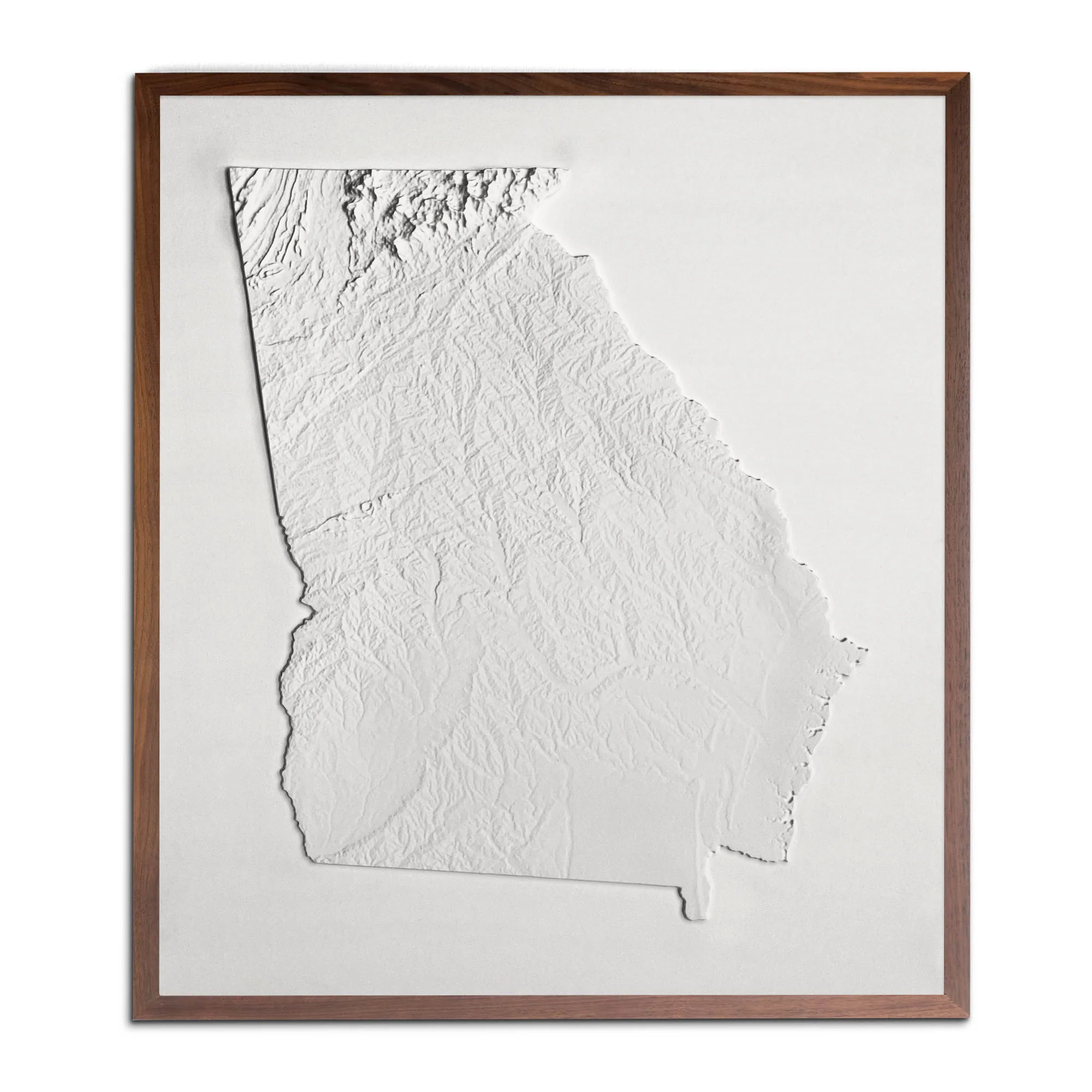
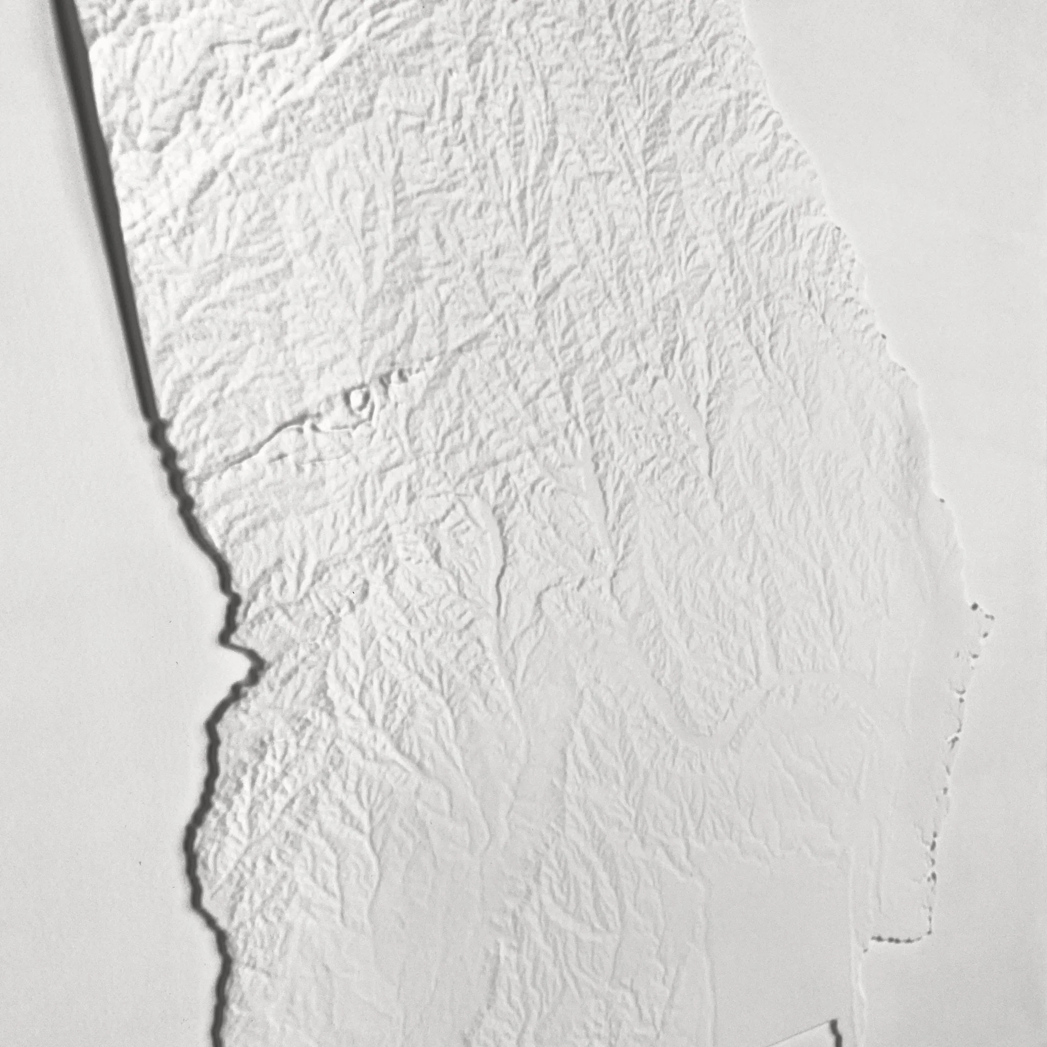
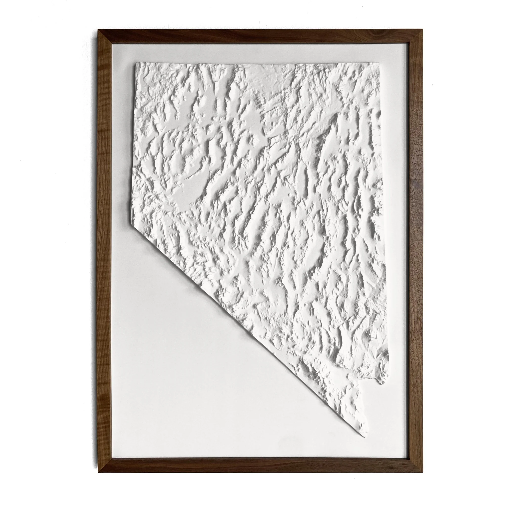
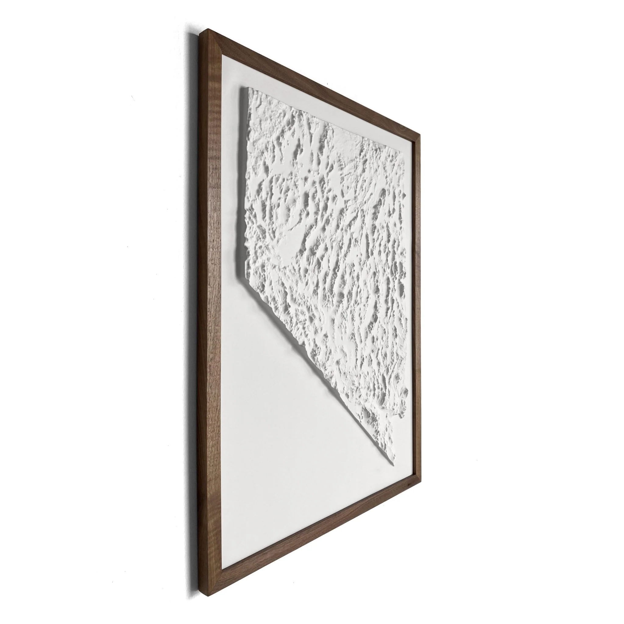
North Carolina 1972 3D Raised Relief Map
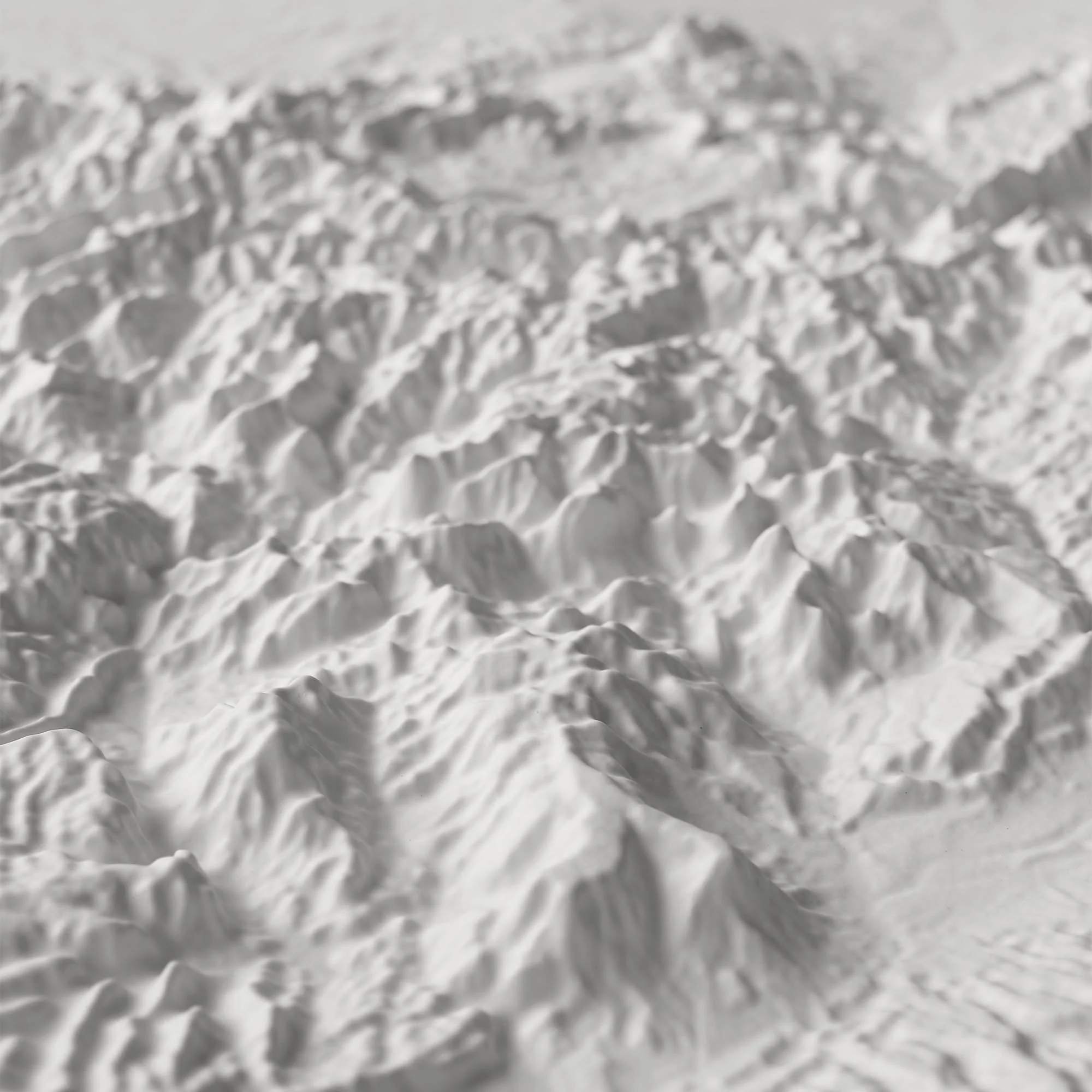
Real raised relief to explore through touch and feel.
- Size - unframed 32x15 inches
- Size - framed 33x16 inches
- Material - plastic mounted on foam board
- Handmade real Walnut frame available
- Individually made in our San Diego, CA shop
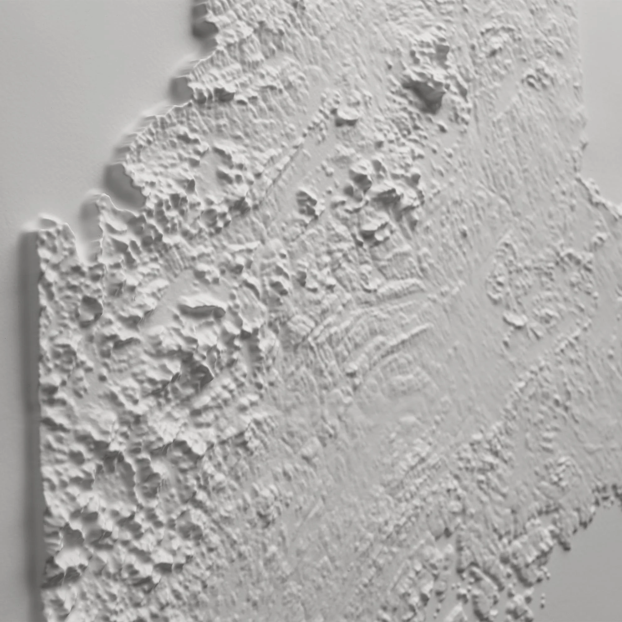
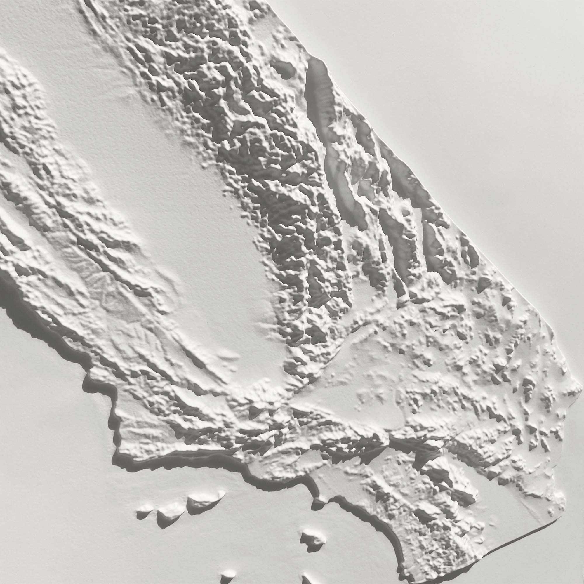
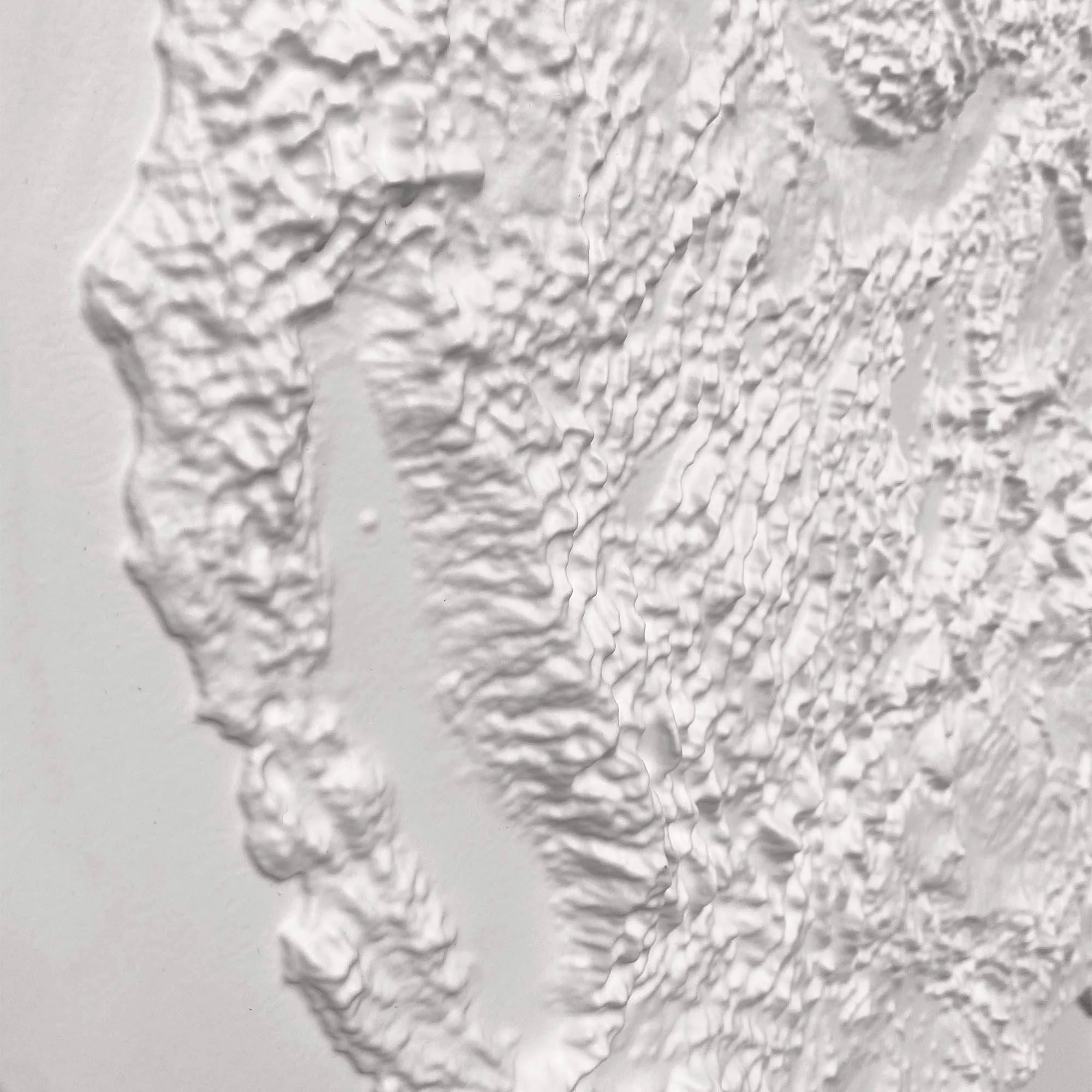
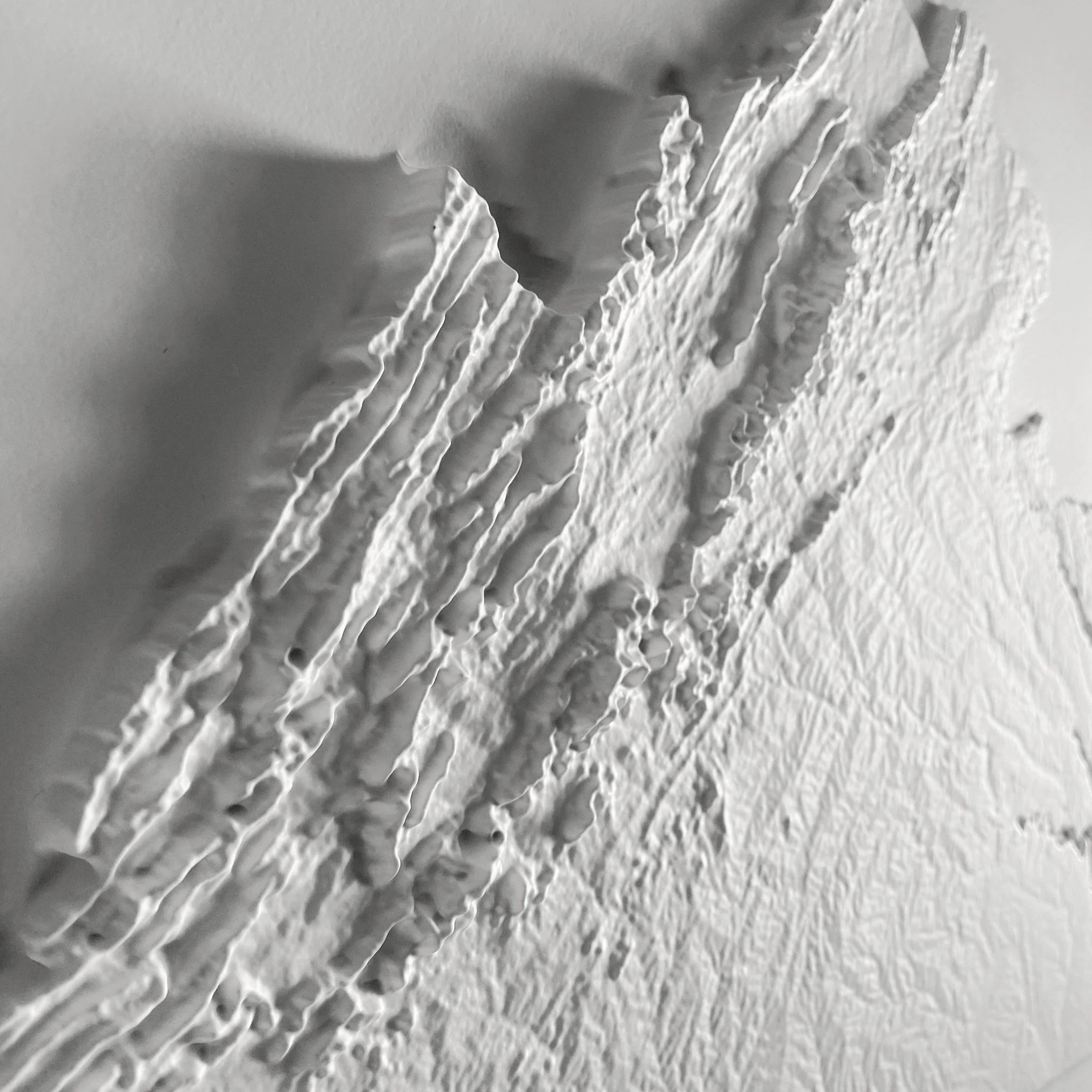
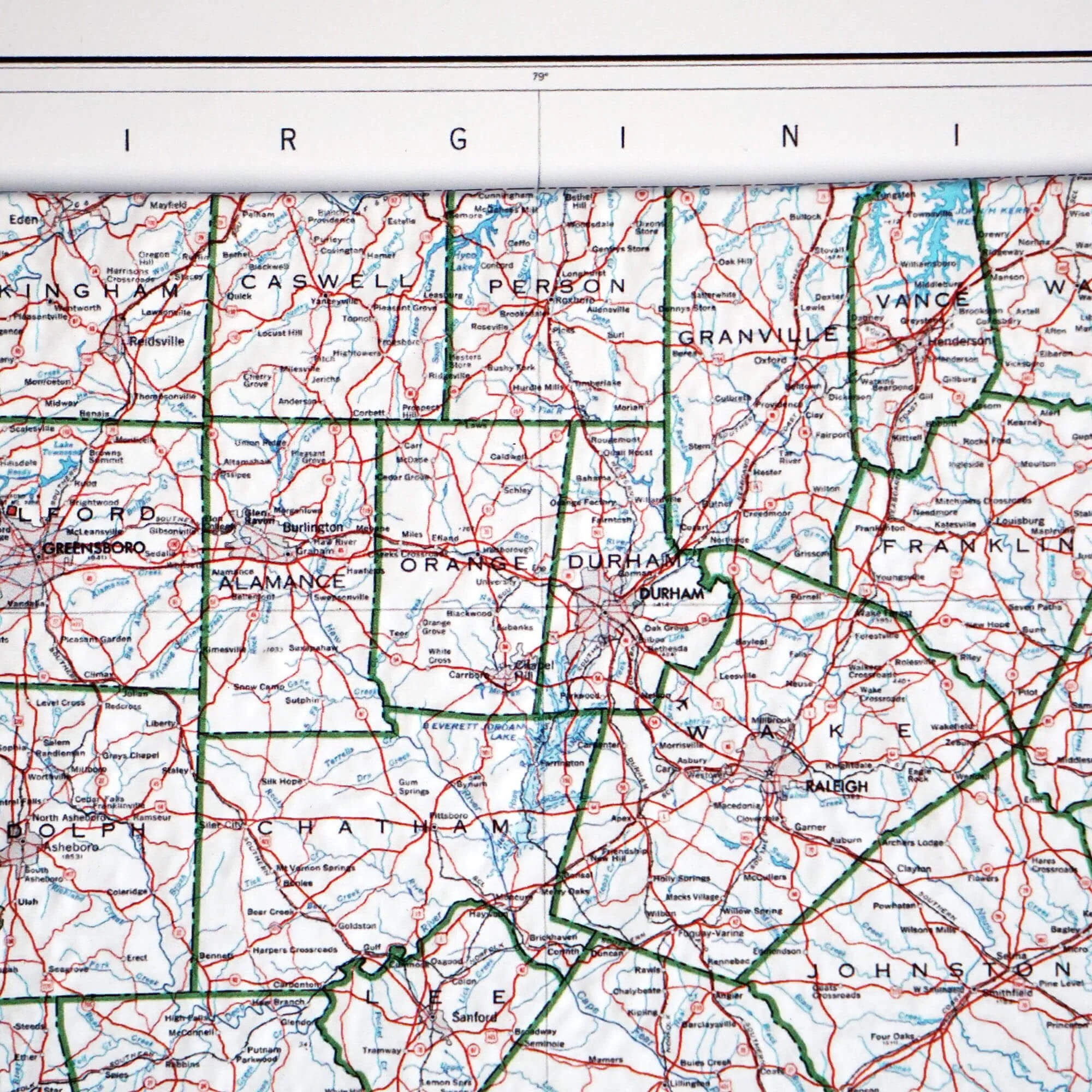
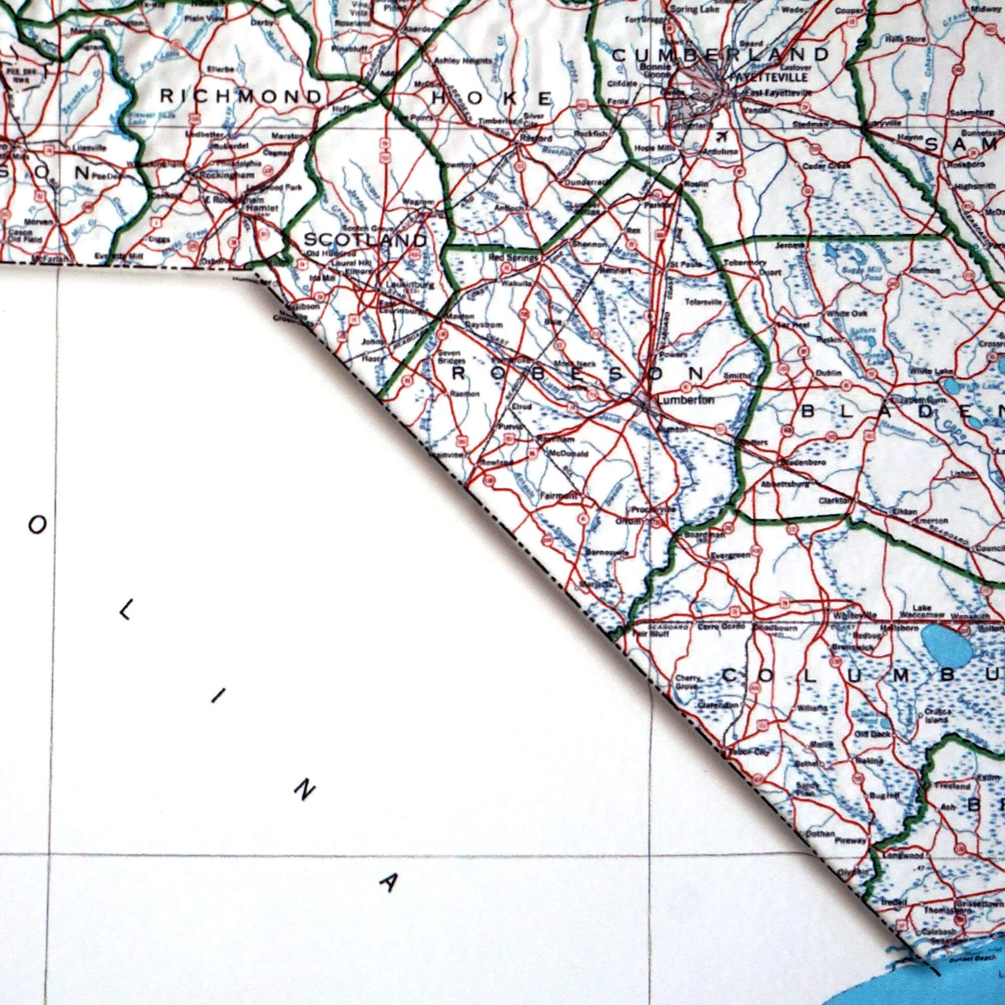
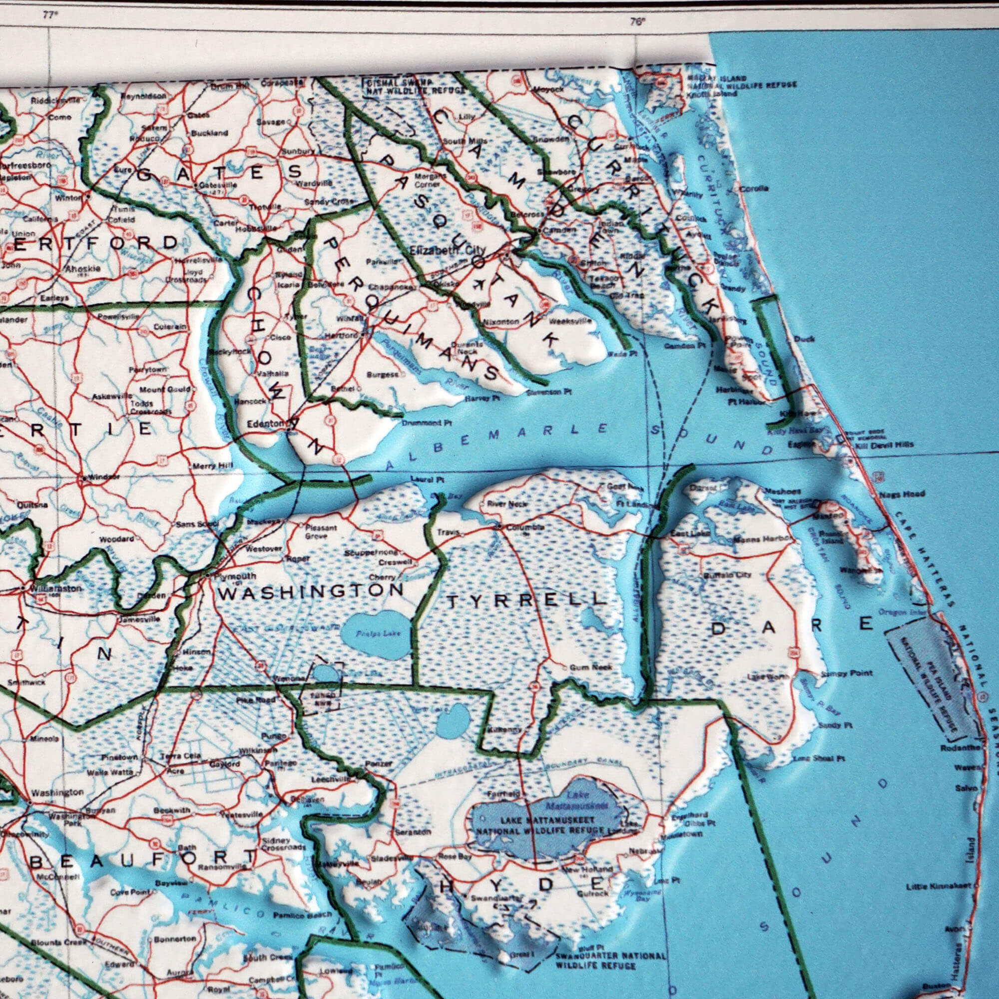
Discover North Carolina’s landscape in our 1972 Topographical Map, beautifully recreated in 3D Raised Relief. Printed, heated, and shaped over a precision mold, each contour comes to life—from the soaring Appalachian peaks to the gentle Atlantic coast. A timeless blend of history, craftsmanship, and artistry you can both see and feel.
Framed maps do not have glass or acrylic over them, so you can touch the map and explore its intricacies.
PLEASE NOTE
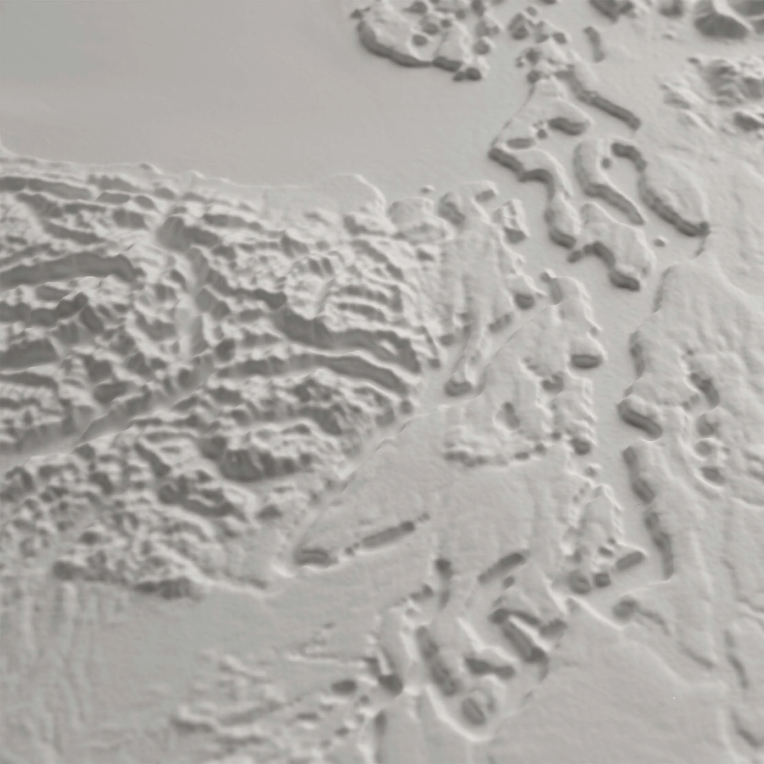
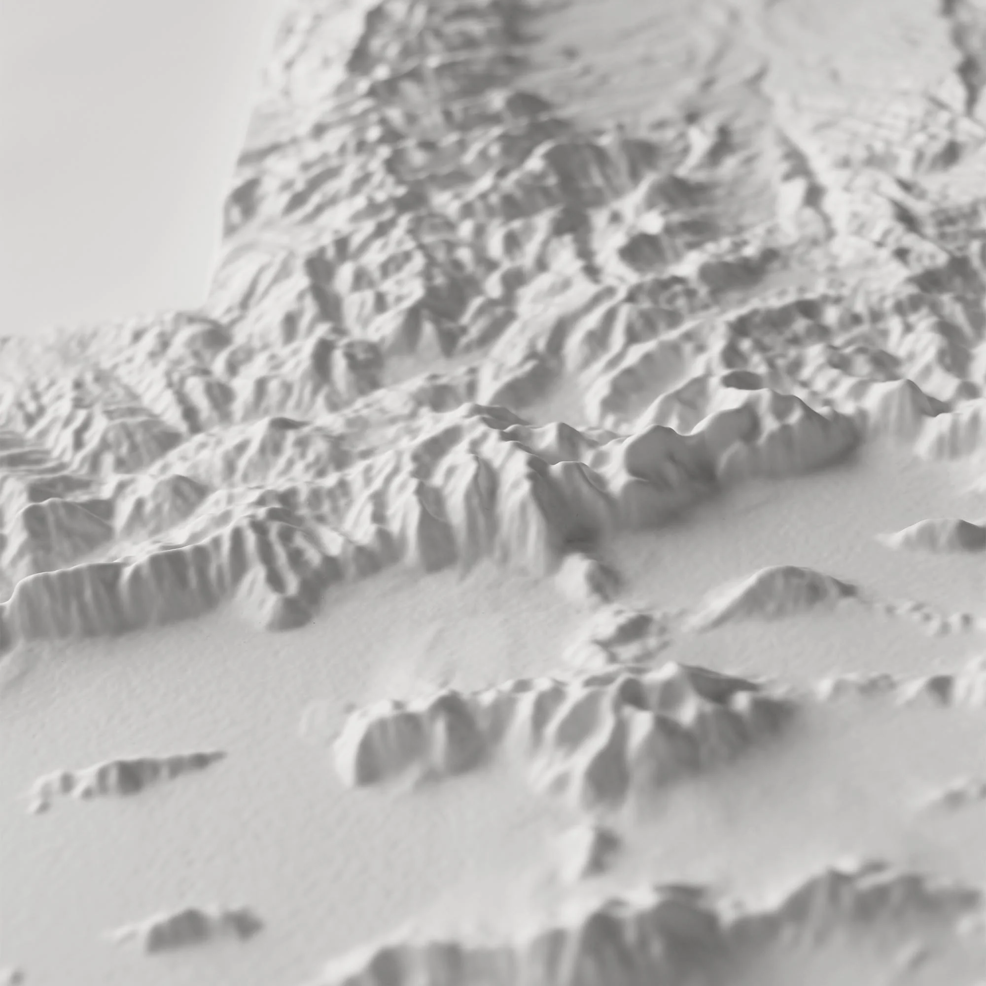
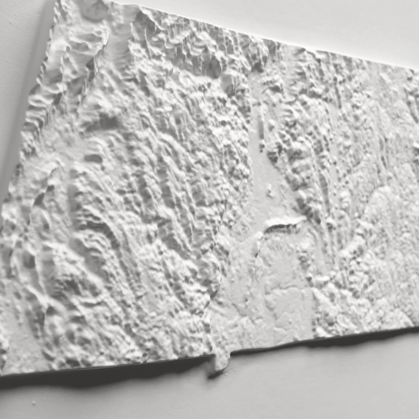
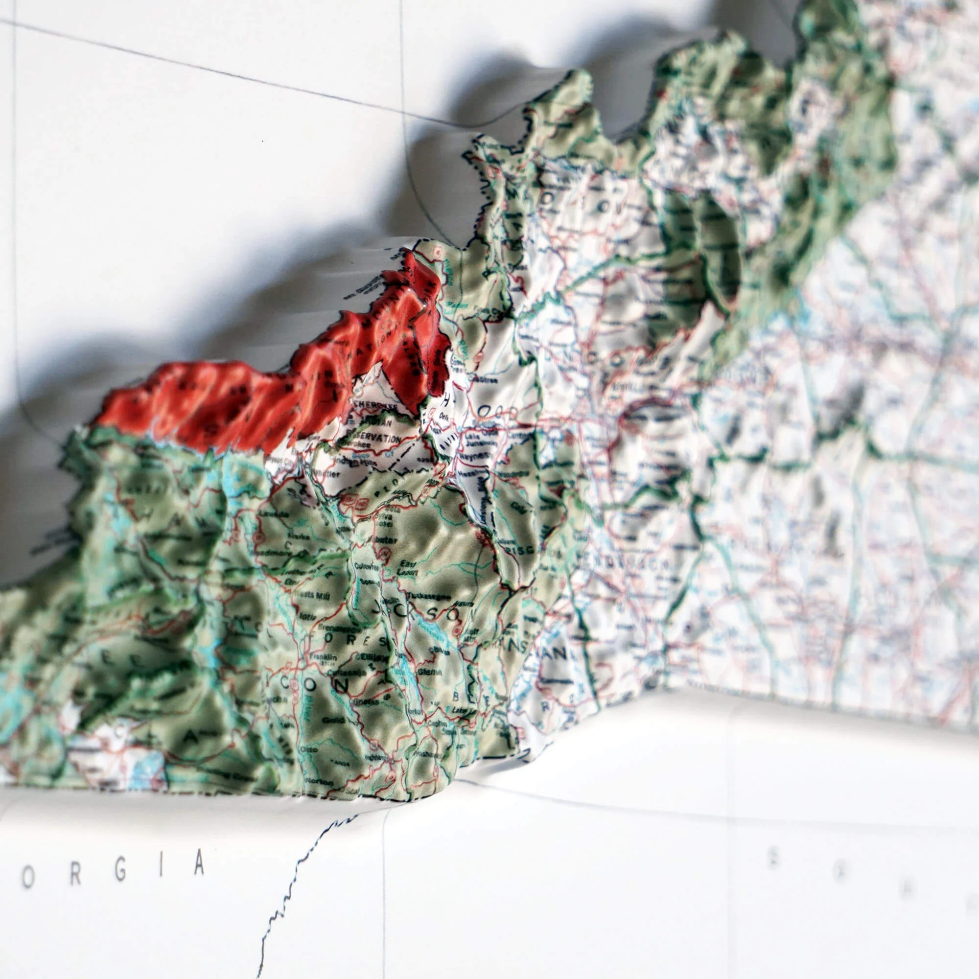
You will love this map if you embrace its anomalies. When the plastic is heated and stretched over the 3D mold, the image may be altered, causing warped lines and text around higher elevations.
Product Information
Product Information
Shipping & Returns
Shipping & Returns


North Carolina 1972 3D Raised Relief Map
North Carolina 1972 3D Raised Relief Map
Real raised relief to explore through touch and feel.
- Size - unframed 32x15 inches
- Size - framed 33x16 inches
- Material - plastic mounted on foam board
- Handmade real Walnut frame available
- Individually made in our San Diego, CA shop
Discover North Carolina’s landscape in our 1972 Topographical Map, beautifully recreated in 3D Raised Relief. Printed, heated, and shaped over a precision mold, each contour comes to life—from the soaring Appalachian peaks to the gentle Atlantic coast. A timeless blend of history, craftsmanship, and artistry you can both see and feel.
Framed maps do not have glass or acrylic over them, so you can touch the map and explore its intricacies.
PLEASE NOTE
You will love this map if you embrace its anomalies. When the plastic is heated and stretched over the 3D mold, the image may be altered, causing warped lines and text around higher elevations.
Original: $1,337.00
-70%$1,337.00
$401.10Product Information
Product Information
Shipping & Returns
Shipping & Returns
Description
Real raised relief to explore through touch and feel.
- Size - unframed 32x15 inches
- Size - framed 33x16 inches
- Material - plastic mounted on foam board
- Handmade real Walnut frame available
- Individually made in our San Diego, CA shop
Discover North Carolina’s landscape in our 1972 Topographical Map, beautifully recreated in 3D Raised Relief. Printed, heated, and shaped over a precision mold, each contour comes to life—from the soaring Appalachian peaks to the gentle Atlantic coast. A timeless blend of history, craftsmanship, and artistry you can both see and feel.
Framed maps do not have glass or acrylic over them, so you can touch the map and explore its intricacies.
PLEASE NOTE
You will love this map if you embrace its anomalies. When the plastic is heated and stretched over the 3D mold, the image may be altered, causing warped lines and text around higher elevations.