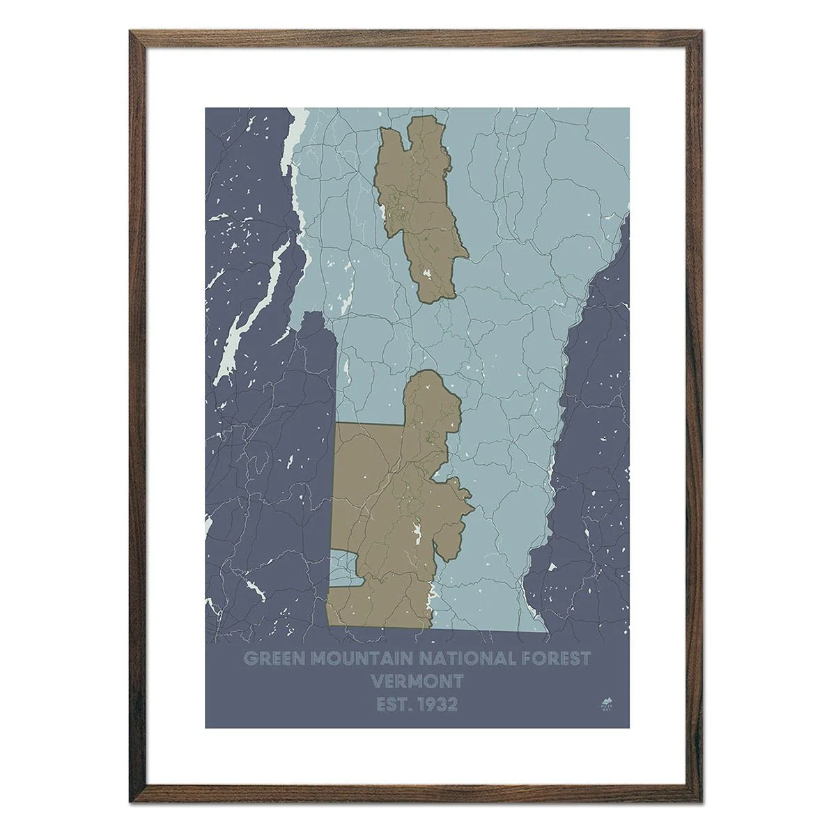
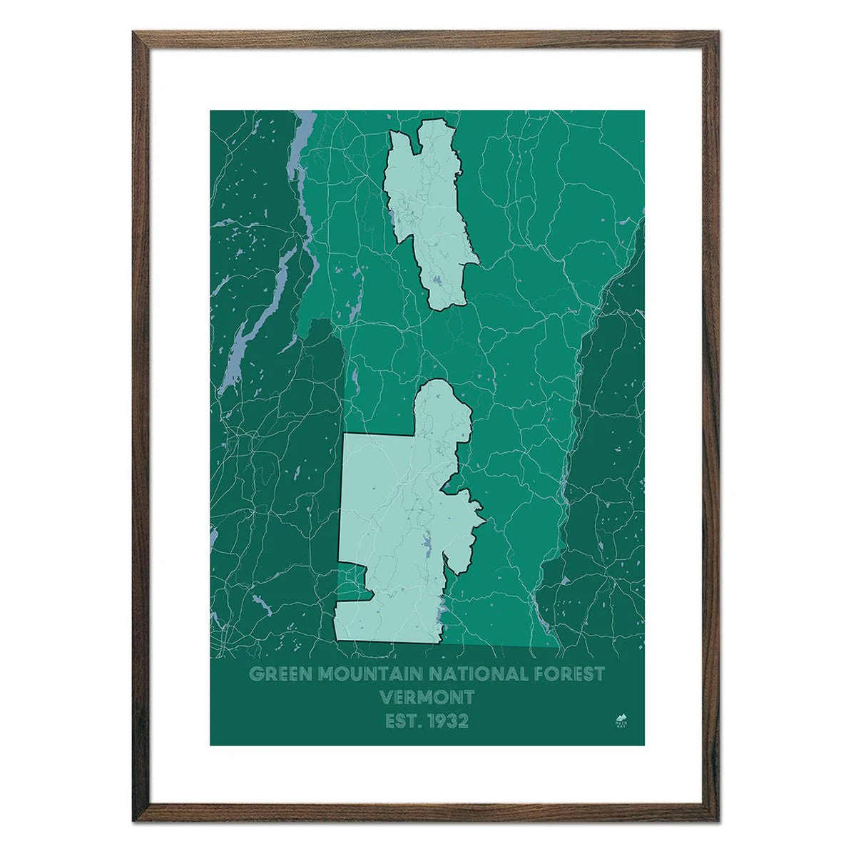
Pacific Crest Trail Shaded Relief Map
Stretching from Mexico to Canada, the Pacific Crest Trail traverses a spectacular collection of some of the grandest terrain in the West as it runs all the way across California, Oregon, and Washington. This map showcases the route in all its glory, using beautiful shaded relief to illustrate the topography along the route and highlighting landmarks, trail towns, and other points of interest along the way - all with mileages and elevations for reference. Whether you've thru-hiked, section-hiked, day-hiked, or just daydreamed about the PCT, this map will serve as an ode to the trail and, hopefully, an inspiration for future adventures.
Designed in partnership with Natural Atlas.
Product Information
Product Information
Shipping & Returns
Shipping & Returns


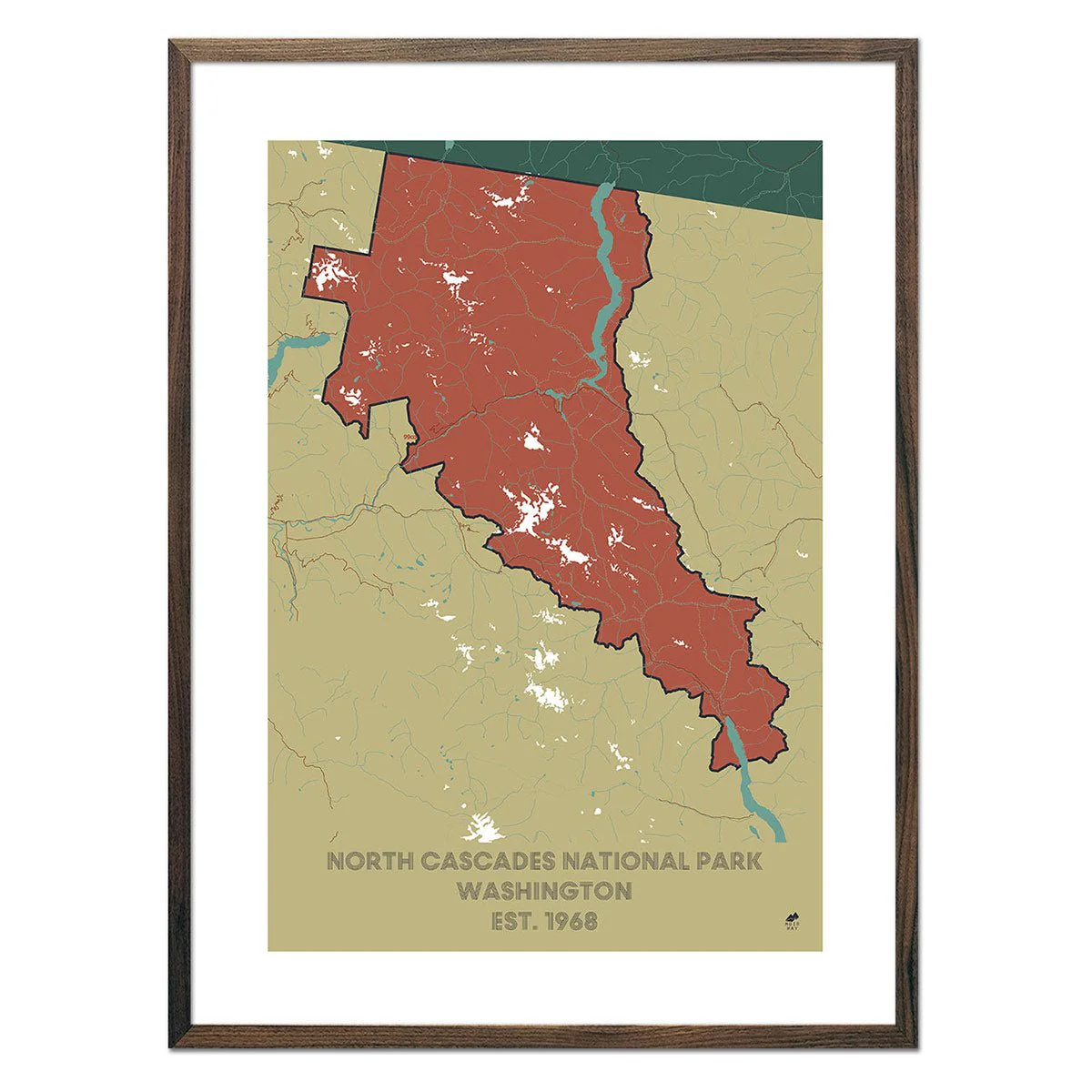
Pacific Crest Trail Shaded Relief Map
Pacific Crest Trail Shaded Relief Map
Stretching from Mexico to Canada, the Pacific Crest Trail traverses a spectacular collection of some of the grandest terrain in the West as it runs all the way across California, Oregon, and Washington. This map showcases the route in all its glory, using beautiful shaded relief to illustrate the topography along the route and highlighting landmarks, trail towns, and other points of interest along the way - all with mileages and elevations for reference. Whether you've thru-hiked, section-hiked, day-hiked, or just daydreamed about the PCT, this map will serve as an ode to the trail and, hopefully, an inspiration for future adventures.
Designed in partnership with Natural Atlas.
Original: $779.00
-70%$779.00
$233.70Product Information
Product Information
Shipping & Returns
Shipping & Returns
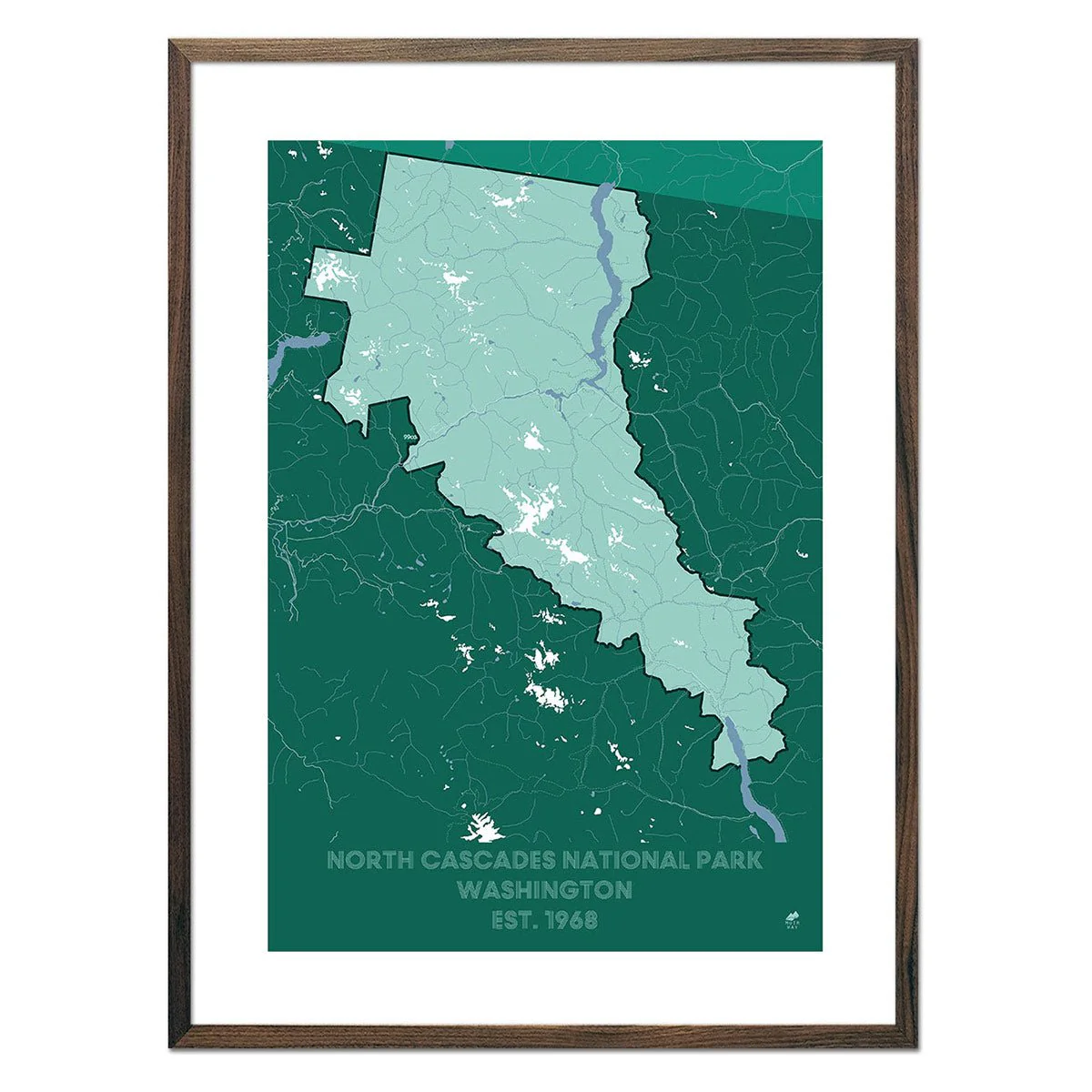
Description
Stretching from Mexico to Canada, the Pacific Crest Trail traverses a spectacular collection of some of the grandest terrain in the West as it runs all the way across California, Oregon, and Washington. This map showcases the route in all its glory, using beautiful shaded relief to illustrate the topography along the route and highlighting landmarks, trail towns, and other points of interest along the way - all with mileages and elevations for reference. Whether you've thru-hiked, section-hiked, day-hiked, or just daydreamed about the PCT, this map will serve as an ode to the trail and, hopefully, an inspiration for future adventures.
Designed in partnership with Natural Atlas.