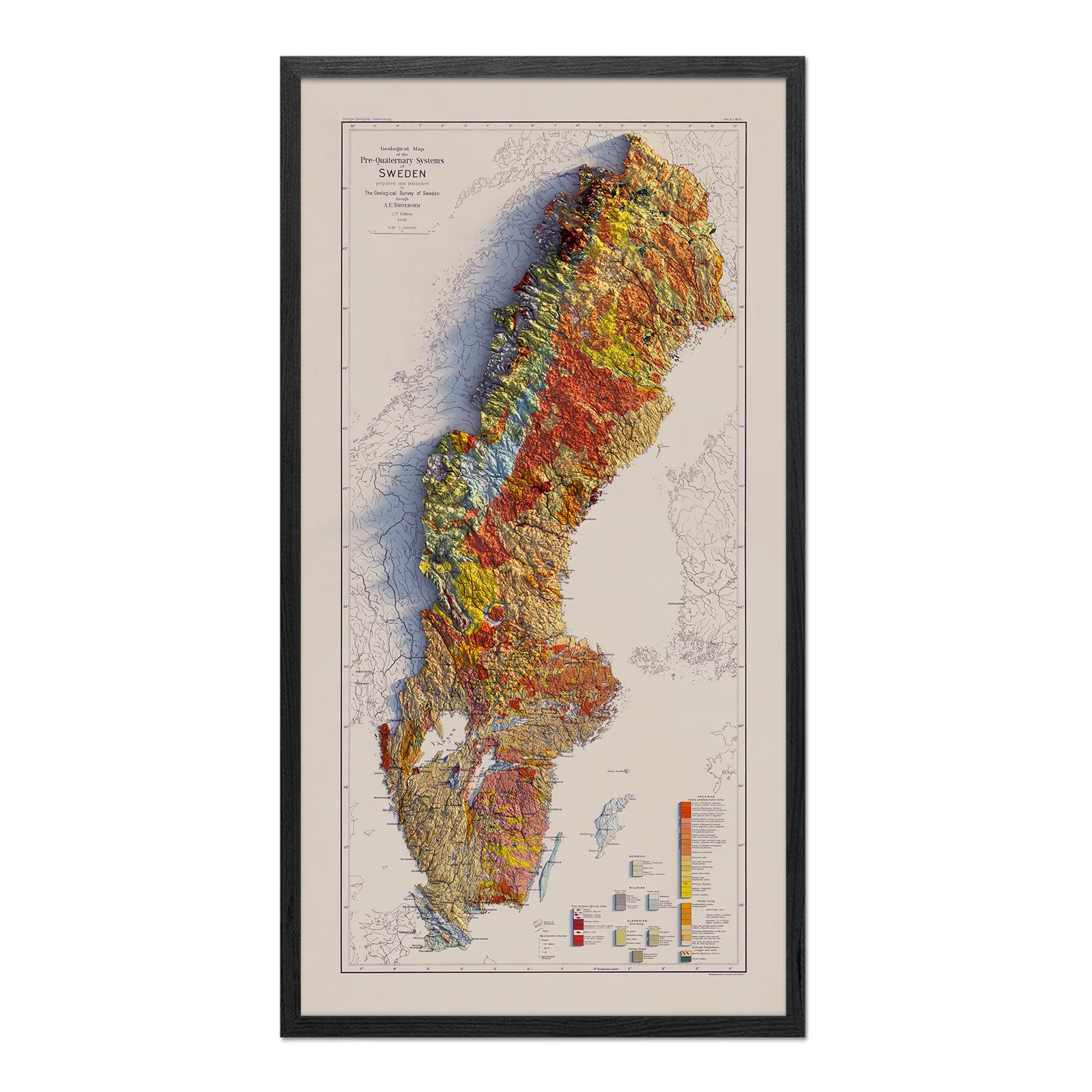
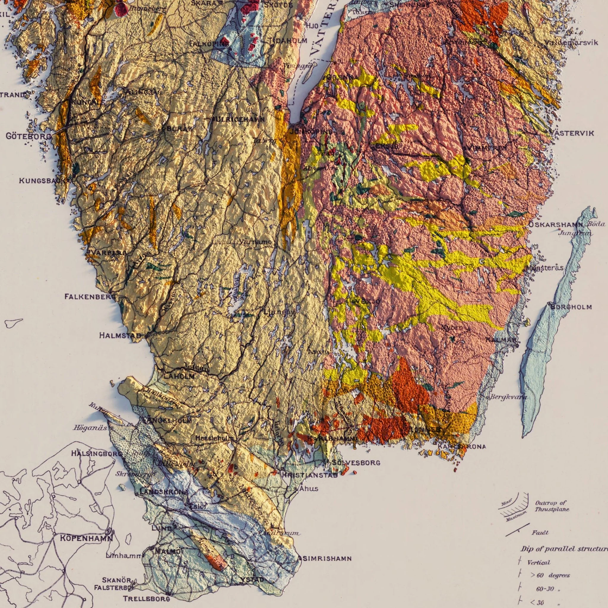
Sweden 1910 Shaded Relief Map
We recreated the original 1910 Geological map of Sweden into this shaded relief map with the illusion of 3D. We meticulously georeferenced hundreds of points on the map to align with elevation data. Then, we were able to digitally elevate the terrain and add a light source to give this flat map the appearance of 3D. The result is an incredibly detailed map that will provide endless exploration.
Please Note: Text on the map can be difficult to read due to the small font size and the age of the map. In areas where the relief shading covers the text, the underlying text is not legible. We suggest the largest size map for better details though the text may still be covered in the darker areas.
Product Information
Product Information
Shipping & Returns
Shipping & Returns


Sweden 1910 Shaded Relief Map
Sweden 1910 Shaded Relief Map
We recreated the original 1910 Geological map of Sweden into this shaded relief map with the illusion of 3D. We meticulously georeferenced hundreds of points on the map to align with elevation data. Then, we were able to digitally elevate the terrain and add a light source to give this flat map the appearance of 3D. The result is an incredibly detailed map that will provide endless exploration.
Please Note: Text on the map can be difficult to read due to the small font size and the age of the map. In areas where the relief shading covers the text, the underlying text is not legible. We suggest the largest size map for better details though the text may still be covered in the darker areas.
Original: $936.00
-70%$936.00
$280.80Product Information
Product Information
Shipping & Returns
Shipping & Returns
Description
We recreated the original 1910 Geological map of Sweden into this shaded relief map with the illusion of 3D. We meticulously georeferenced hundreds of points on the map to align with elevation data. Then, we were able to digitally elevate the terrain and add a light source to give this flat map the appearance of 3D. The result is an incredibly detailed map that will provide endless exploration.
Please Note: Text on the map can be difficult to read due to the small font size and the age of the map. In areas where the relief shading covers the text, the underlying text is not legible. We suggest the largest size map for better details though the text may still be covered in the darker areas.