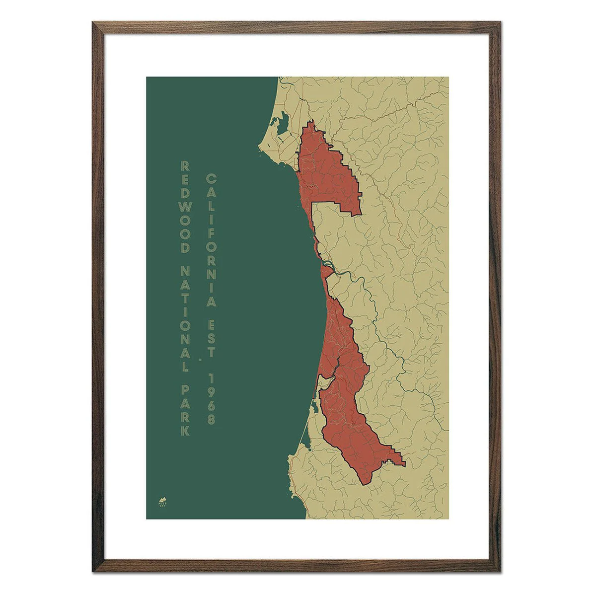
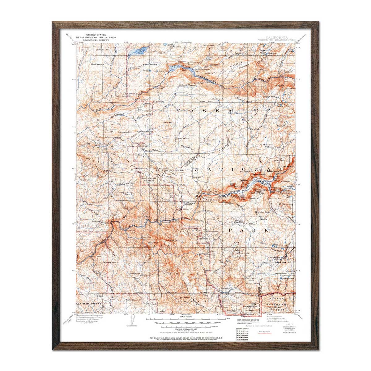
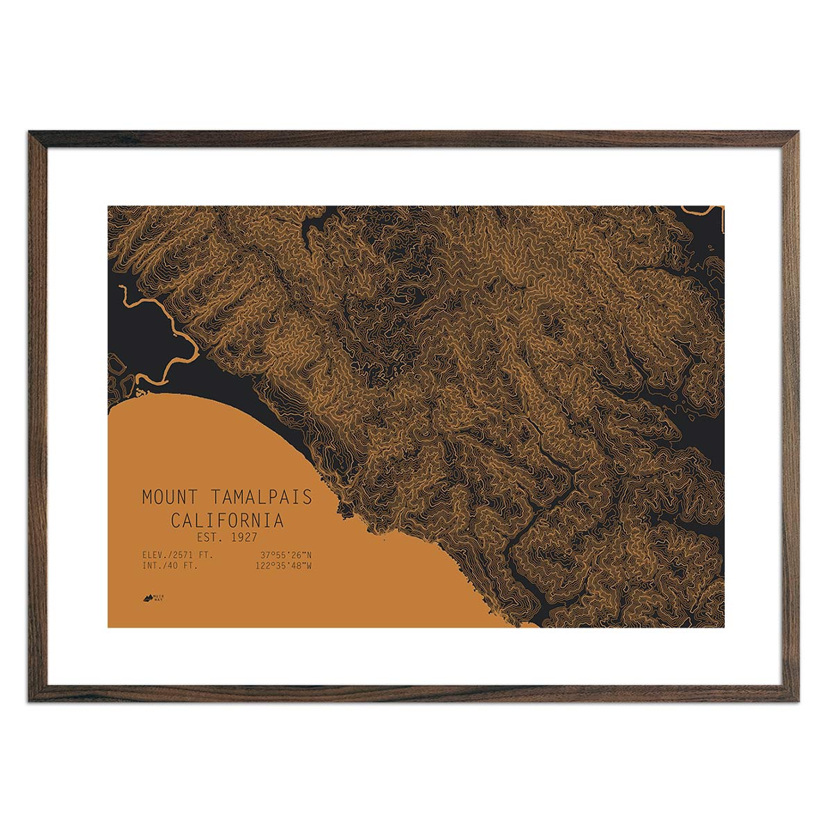
Tamalpais, California
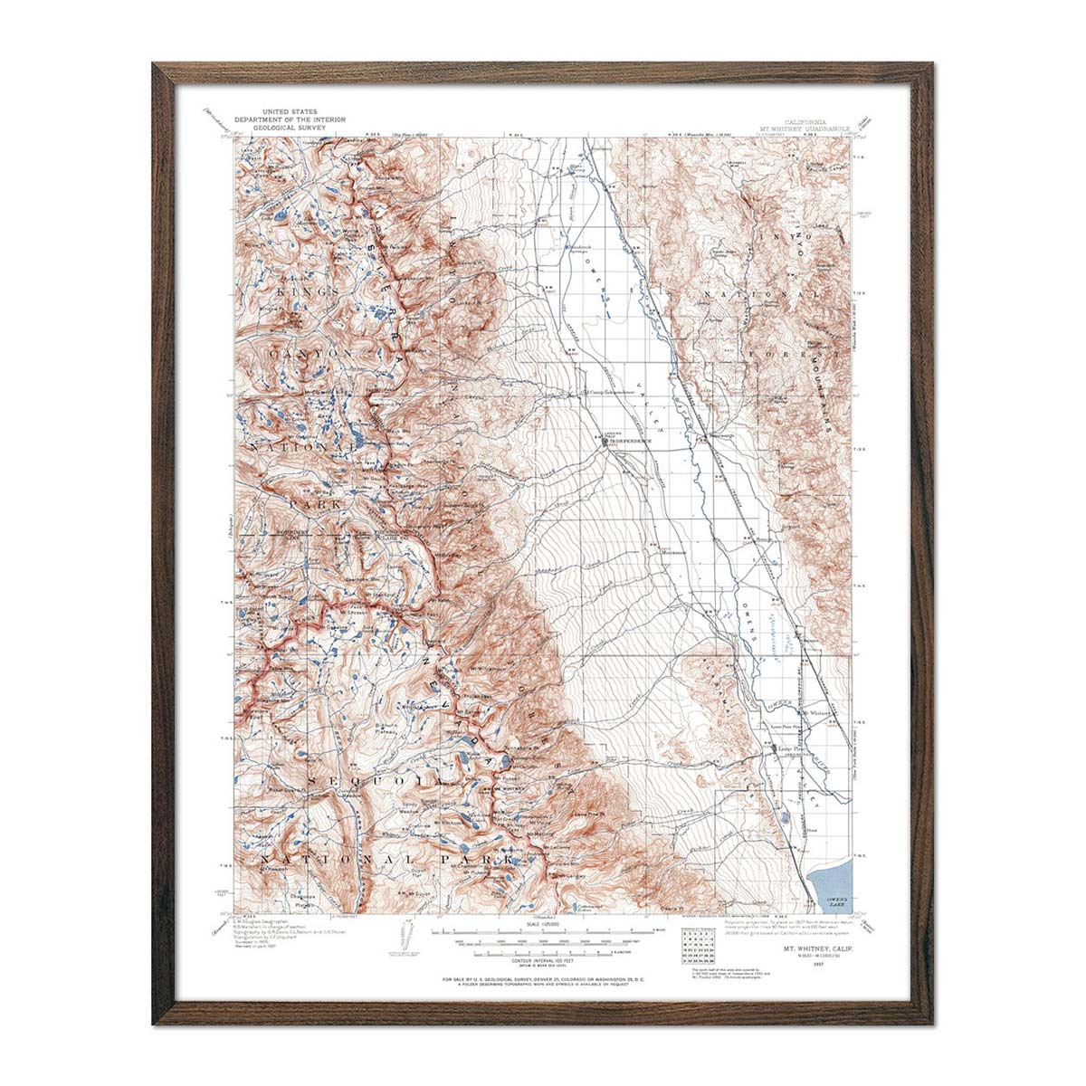
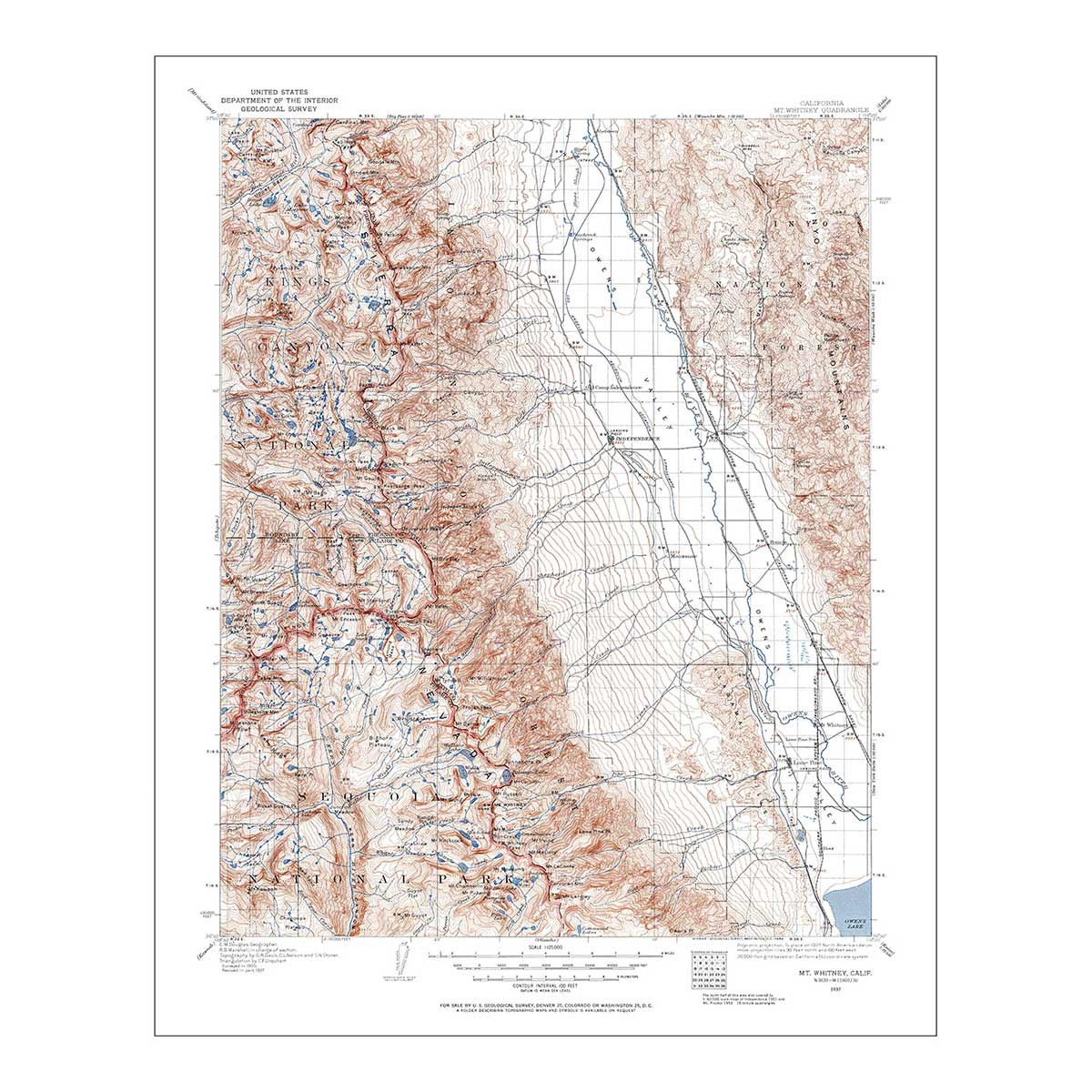
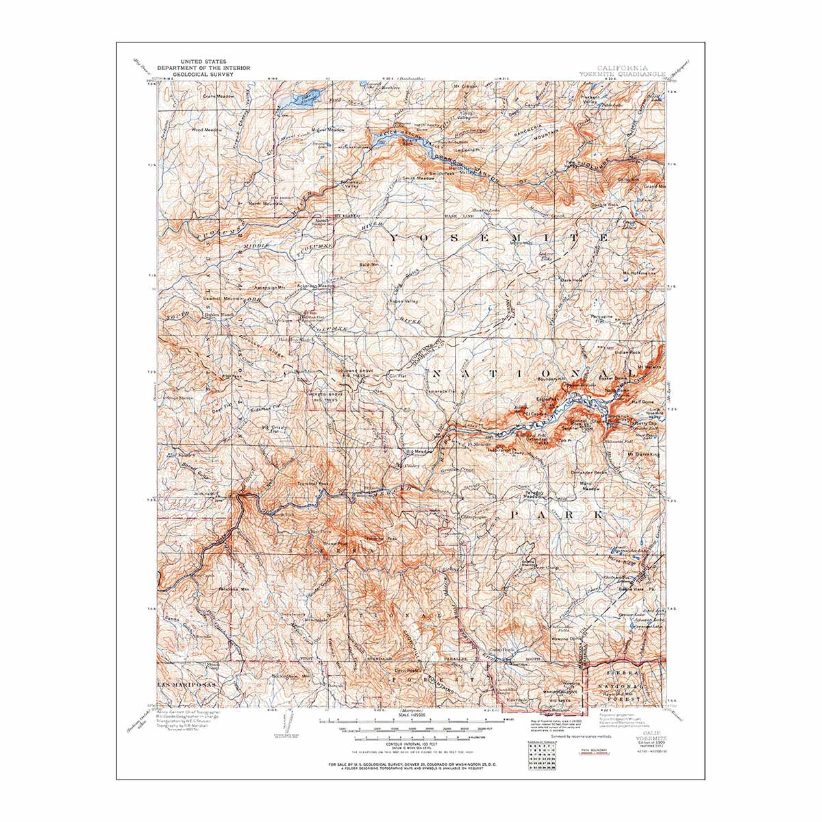
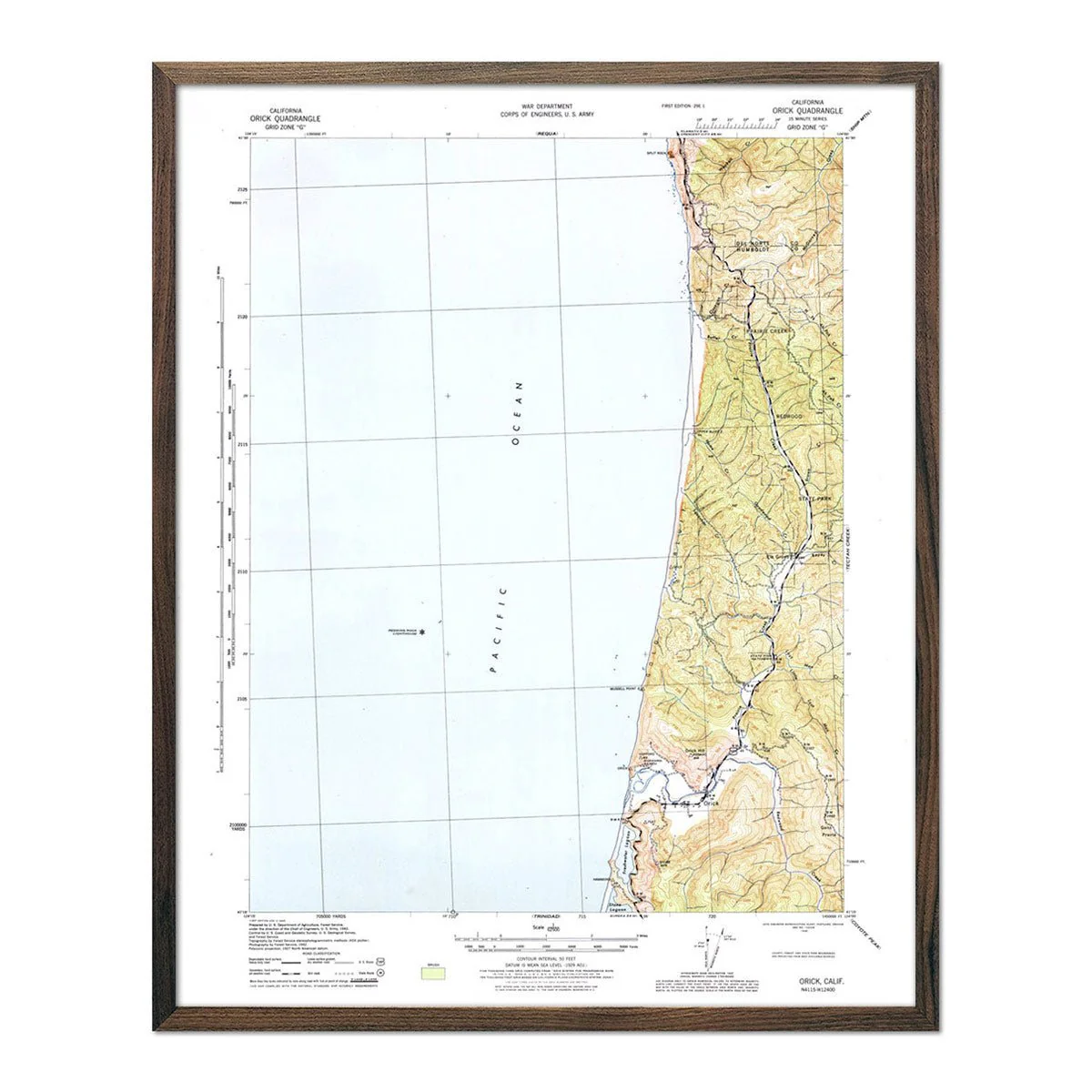
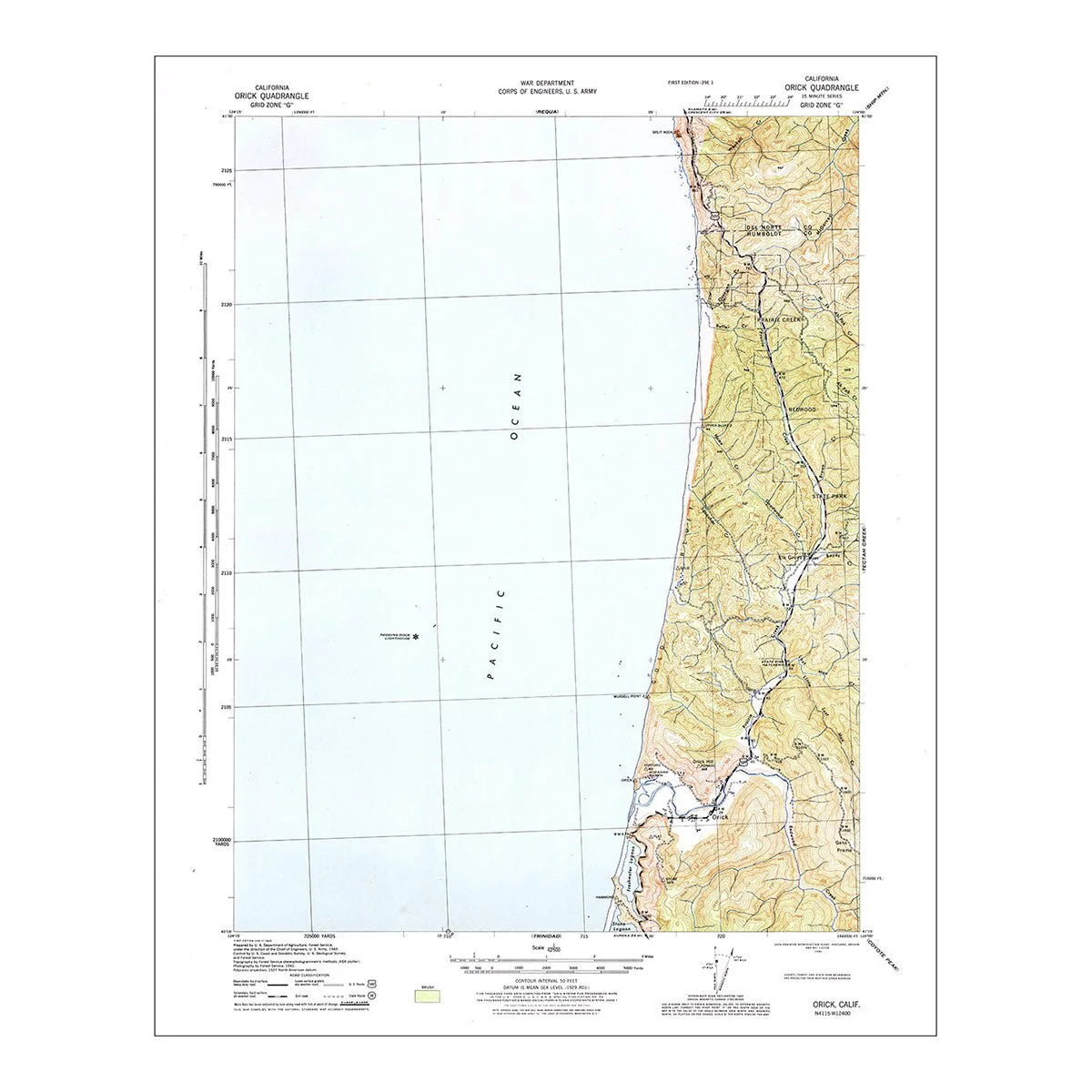
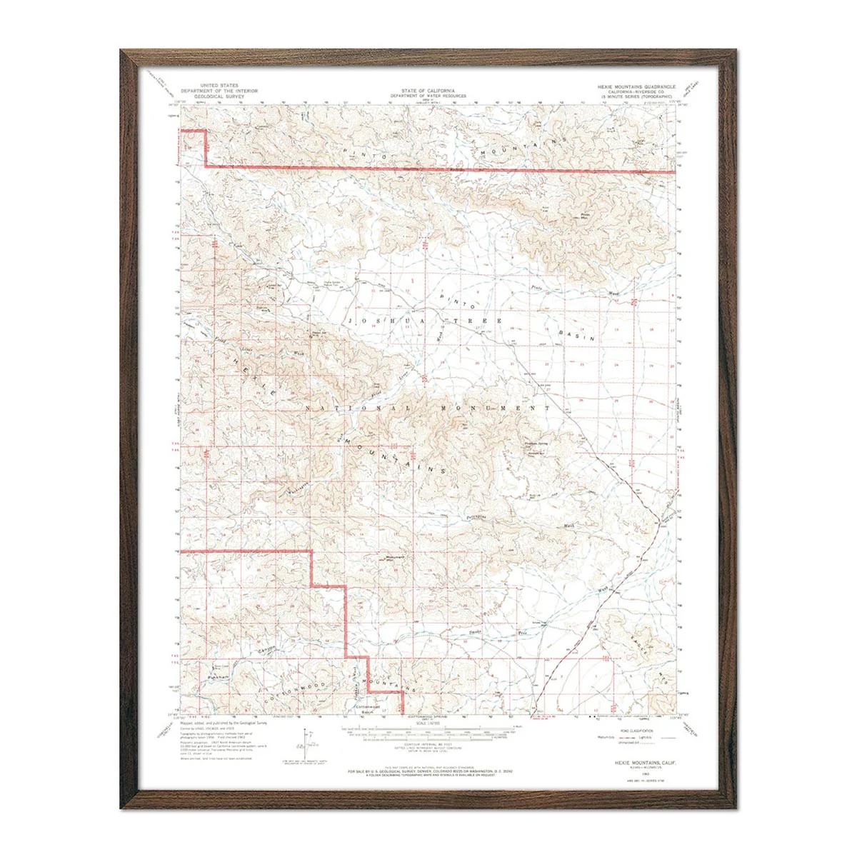
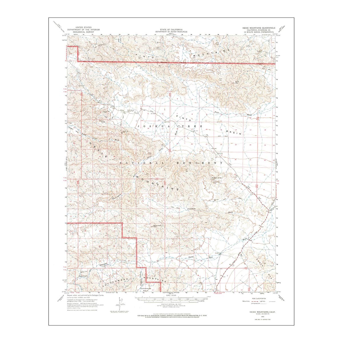
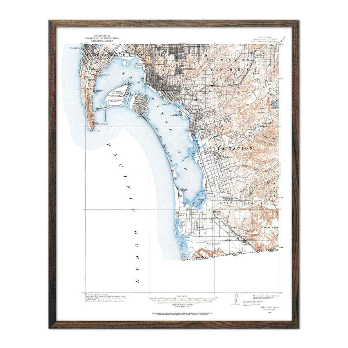
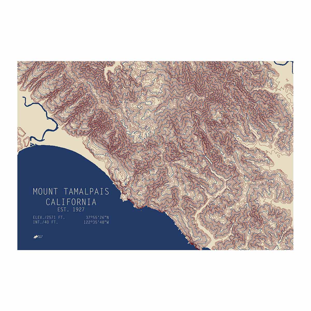
Our TOPO Series map of Tamalpais, California uses USGS data to show the contour lines of the mountain and its surroundings. It’s a simple, elegant way to depict the dramatic elevation changes that define the area. As an art piece, it’s a way to trigger memories and admire one of your favorite places.
Product Information
Product Information
Shipping & Returns
Shipping & Returns


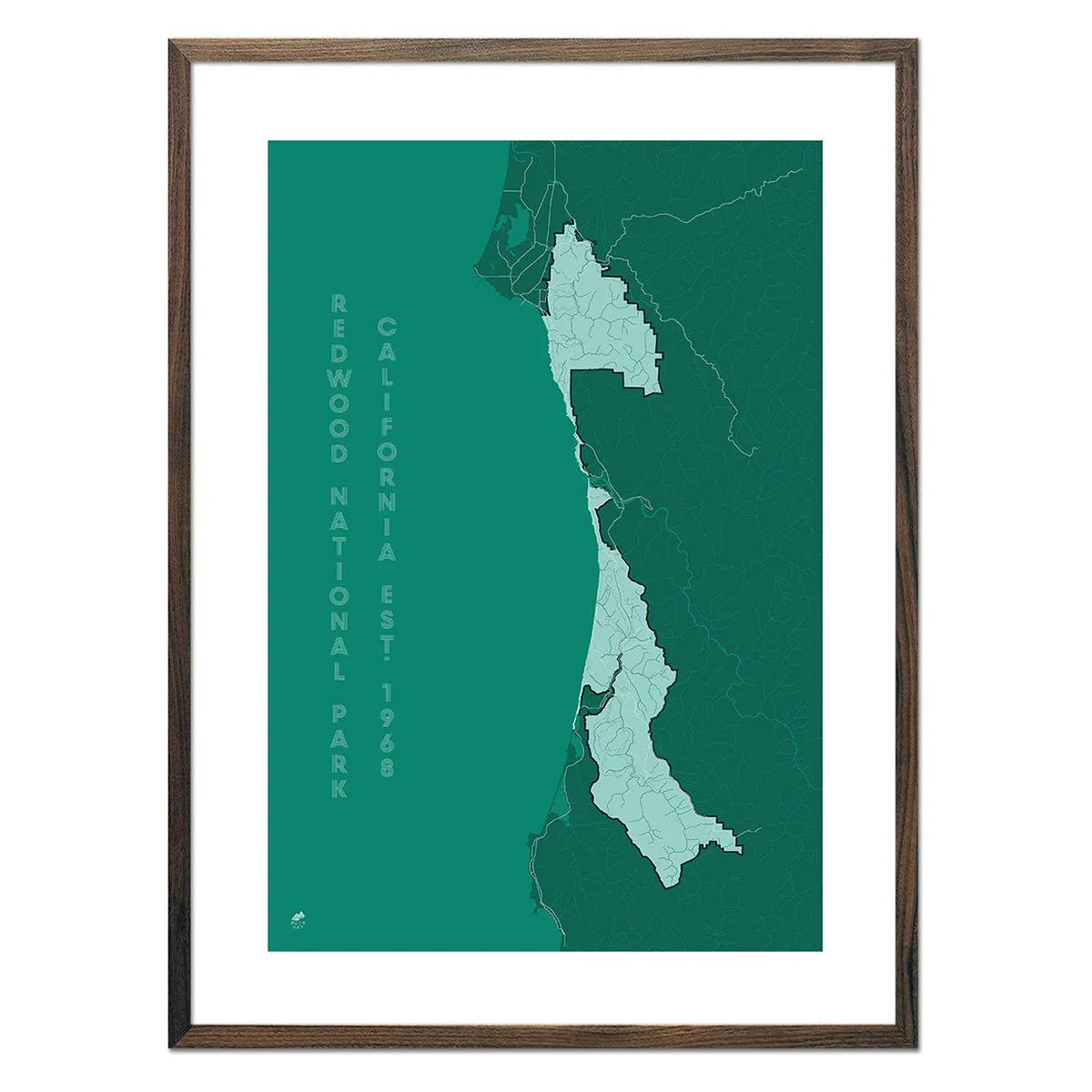
Tamalpais, California
Tamalpais, California
Our TOPO Series map of Tamalpais, California uses USGS data to show the contour lines of the mountain and its surroundings. It’s a simple, elegant way to depict the dramatic elevation changes that define the area. As an art piece, it’s a way to trigger memories and admire one of your favorite places.
Original: $43.95
-70%$43.95
$13.19Product Information
Product Information
Shipping & Returns
Shipping & Returns
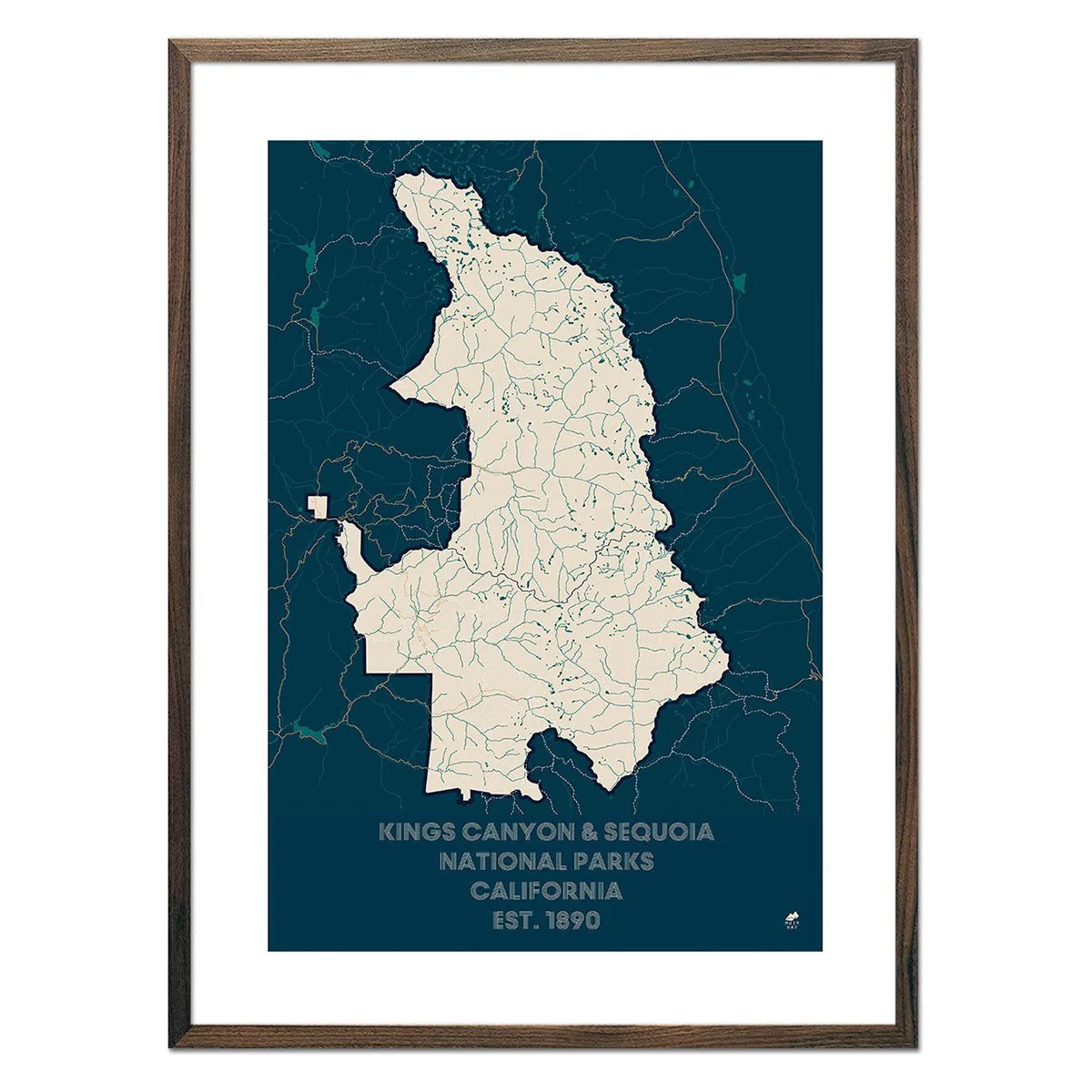
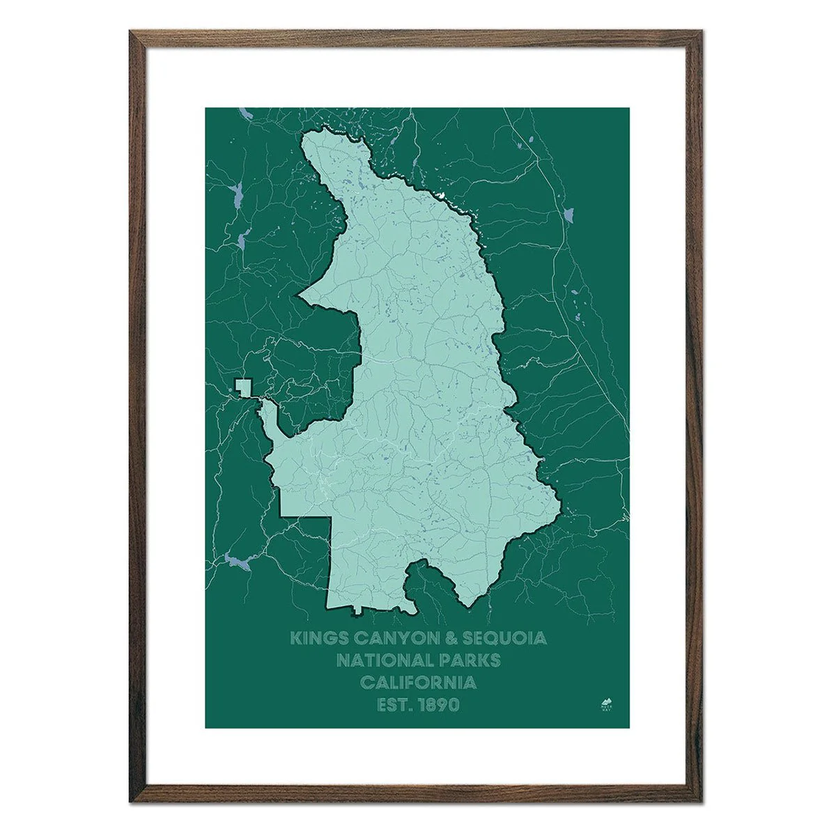
Description
Our TOPO Series map of Tamalpais, California uses USGS data to show the contour lines of the mountain and its surroundings. It’s a simple, elegant way to depict the dramatic elevation changes that define the area. As an art piece, it’s a way to trigger memories and admire one of your favorite places.