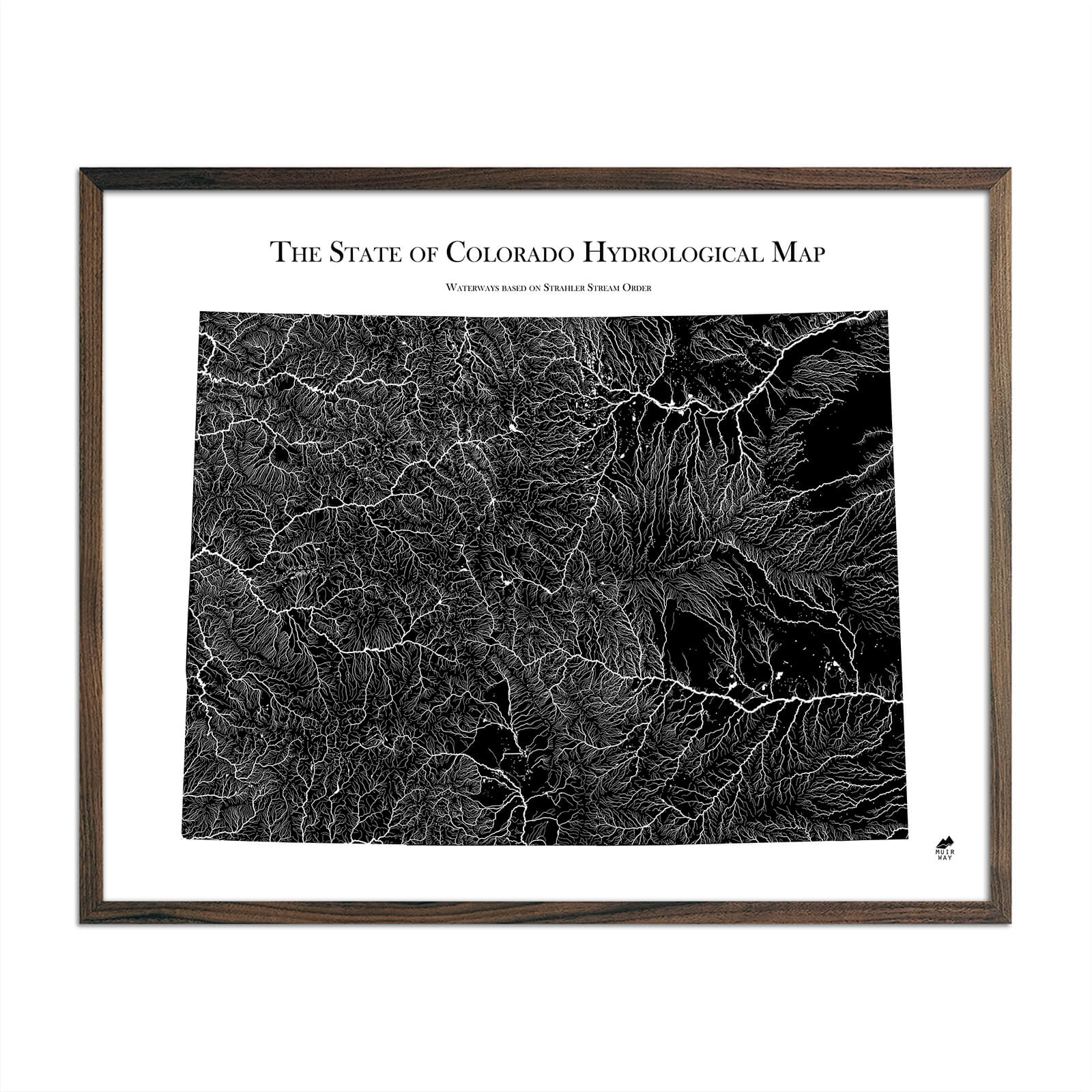
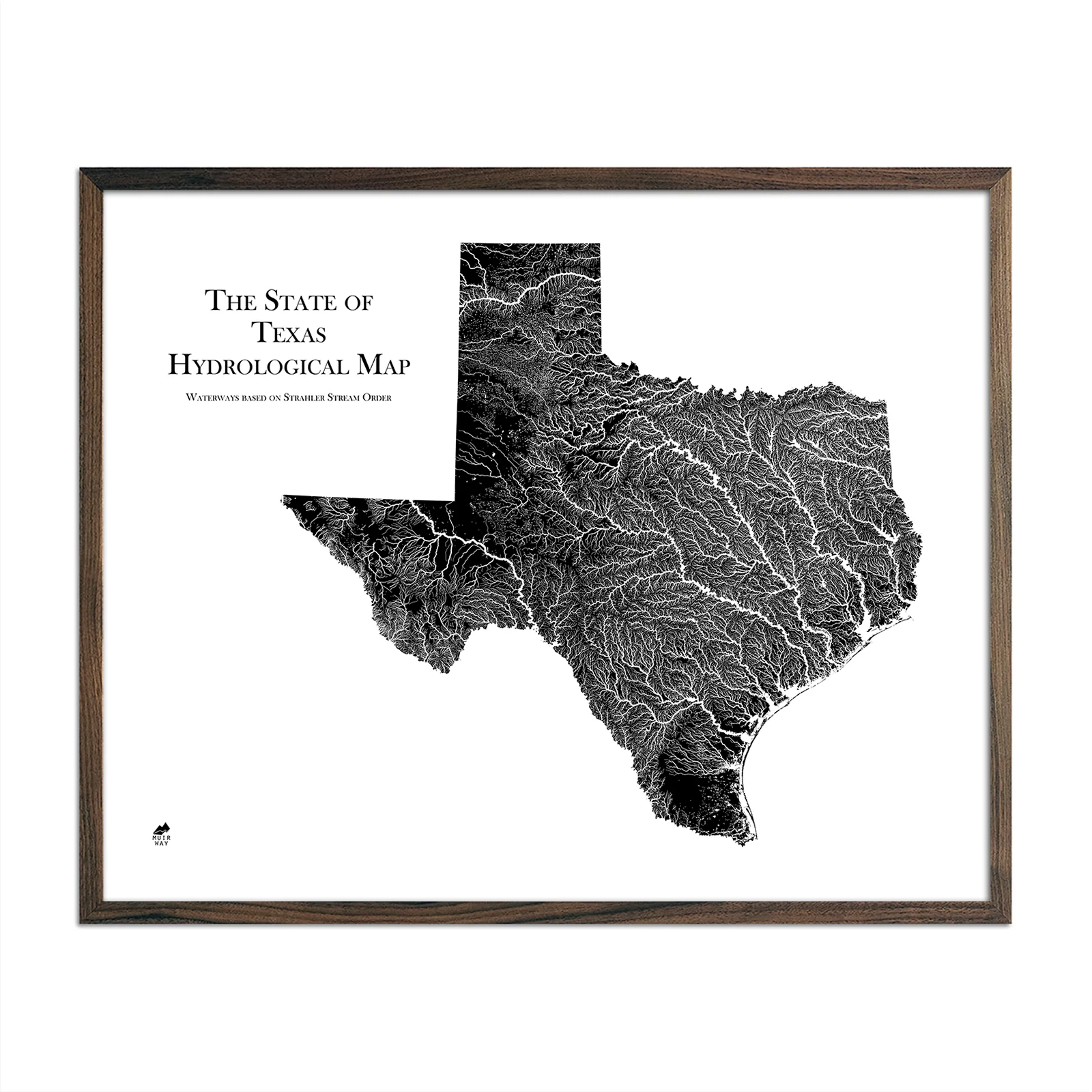
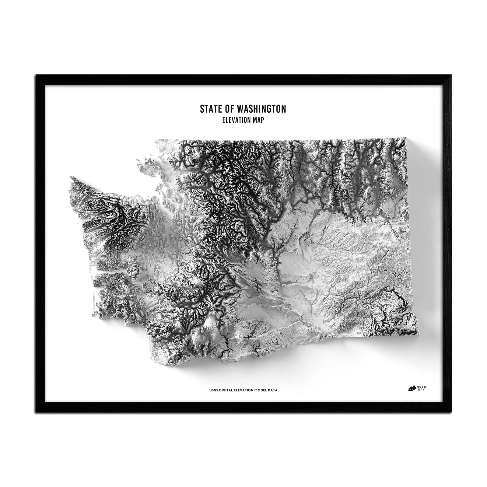
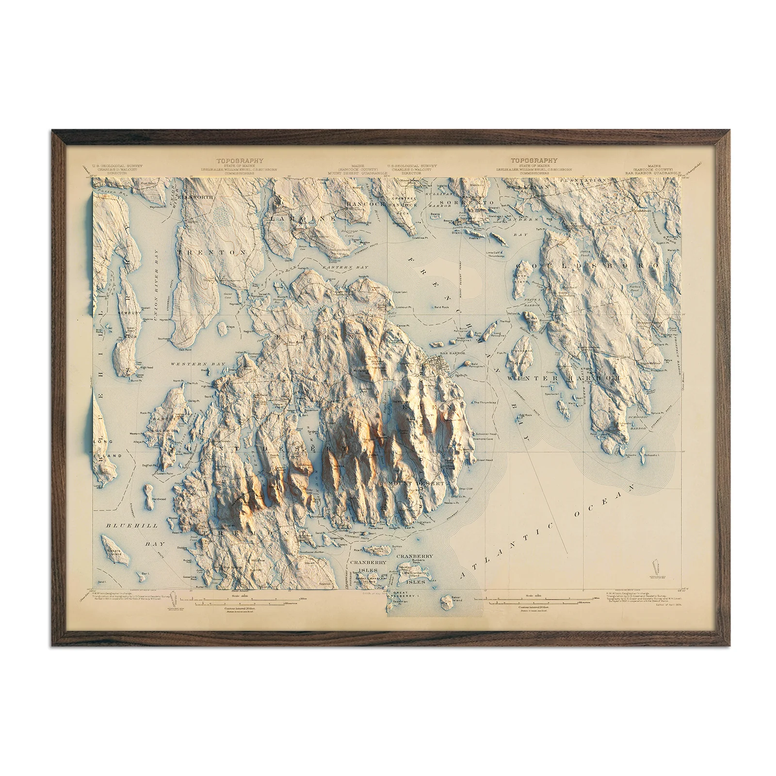
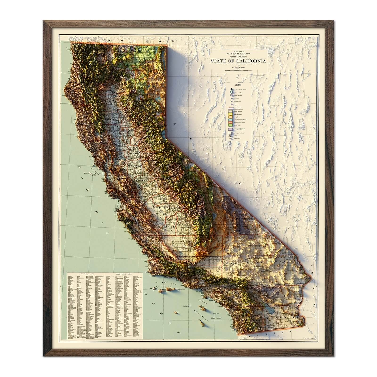
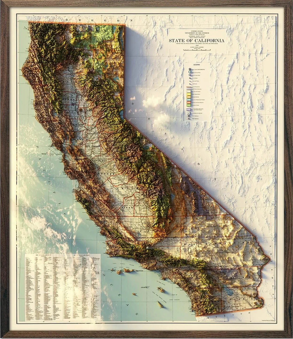
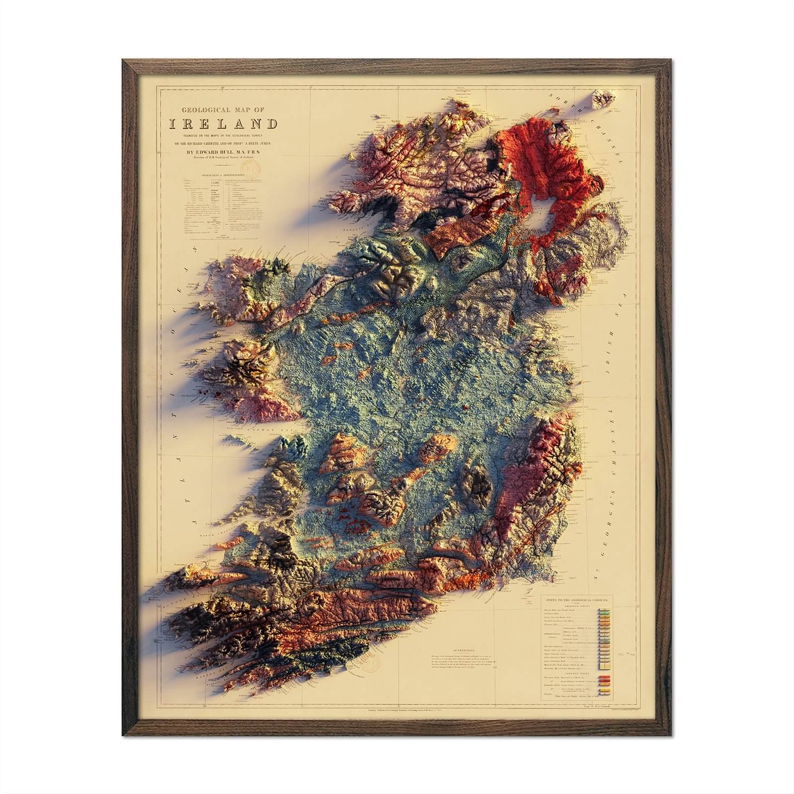
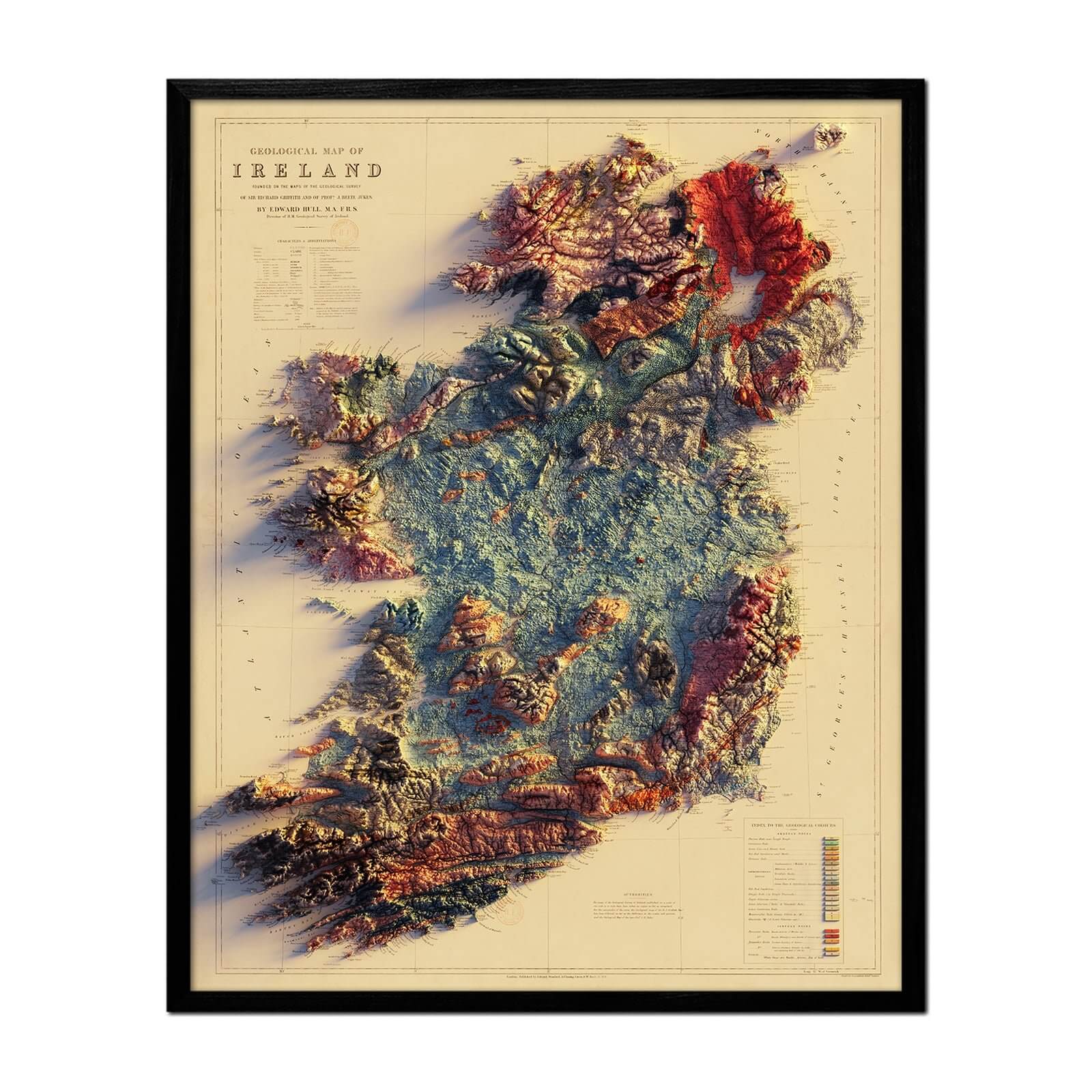
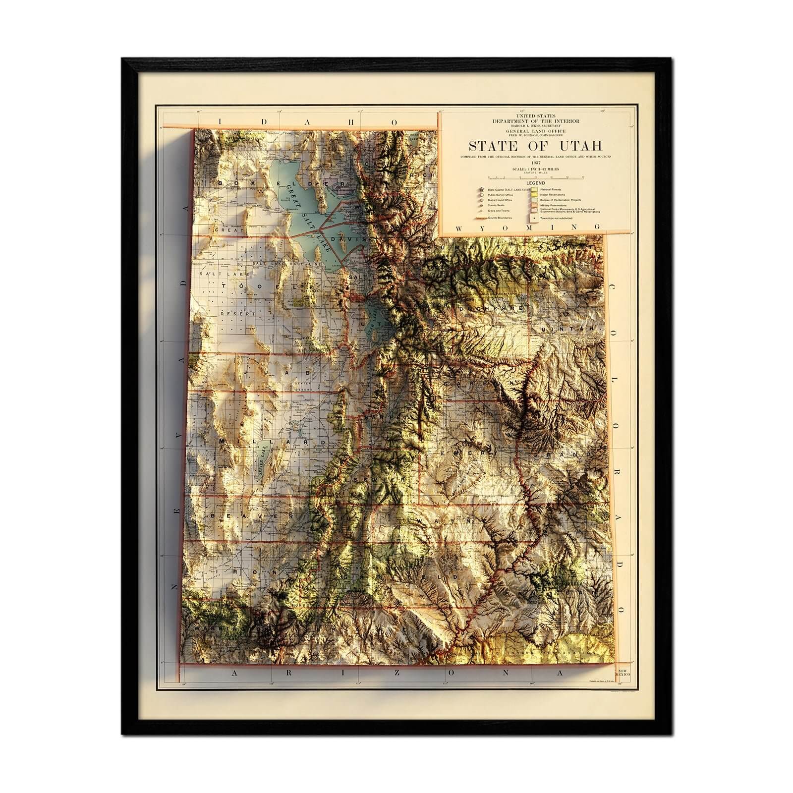
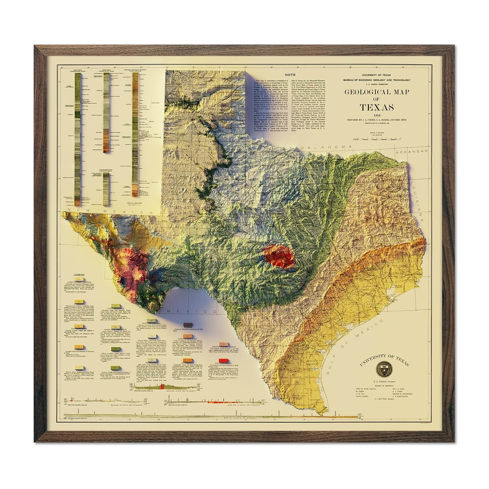
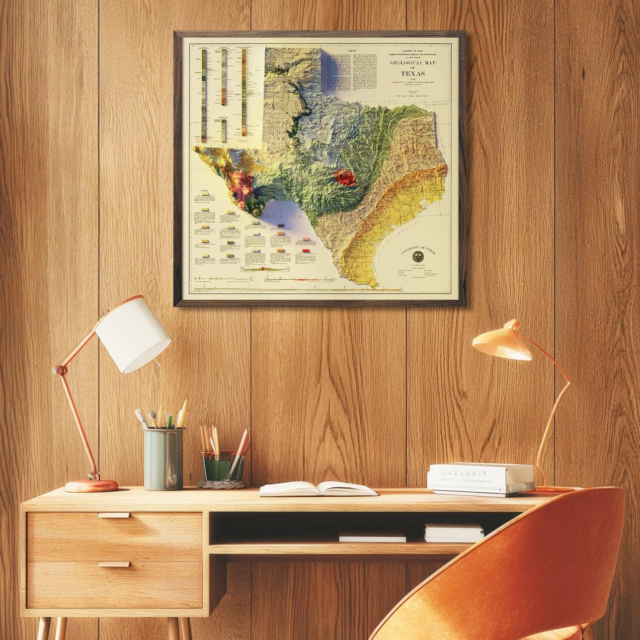
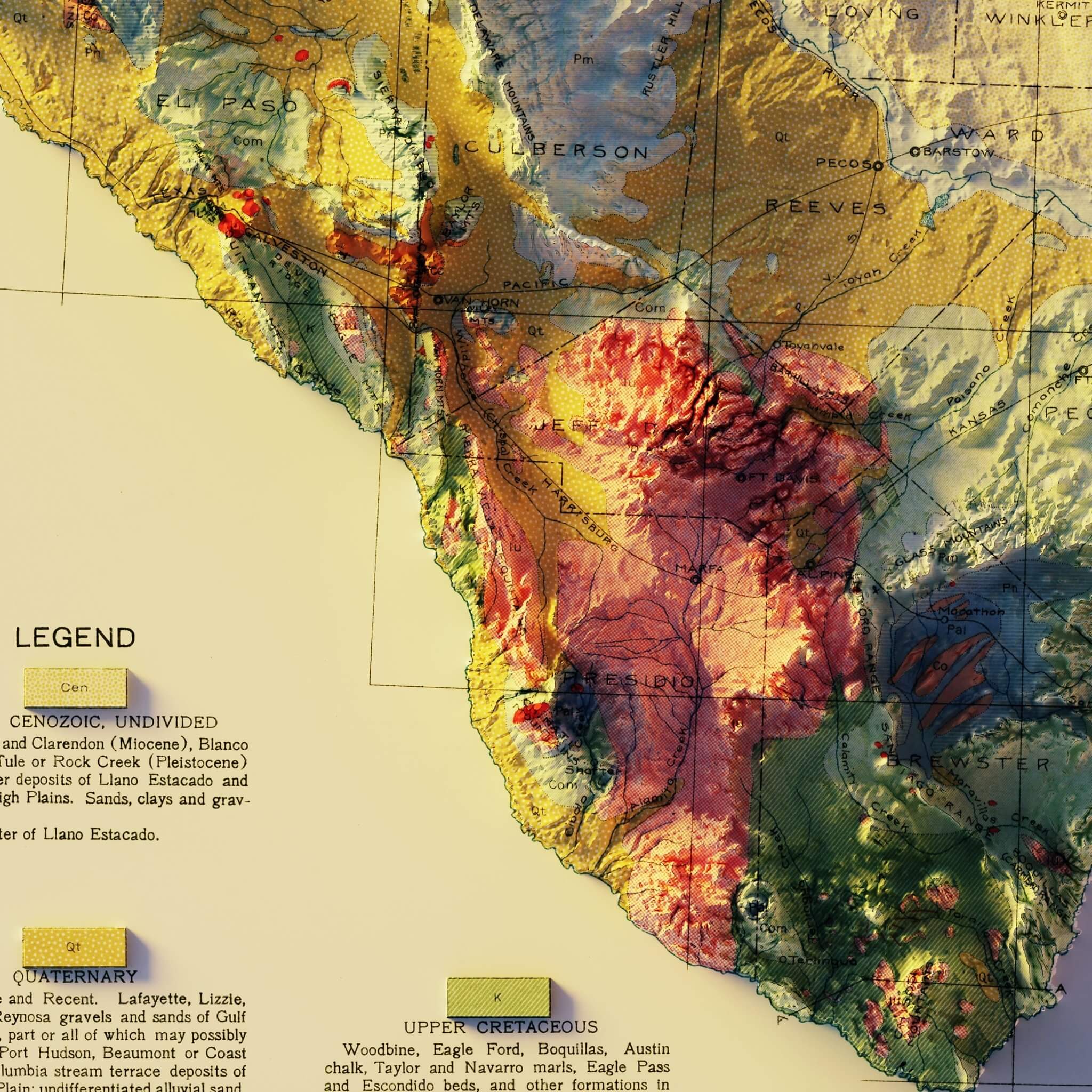
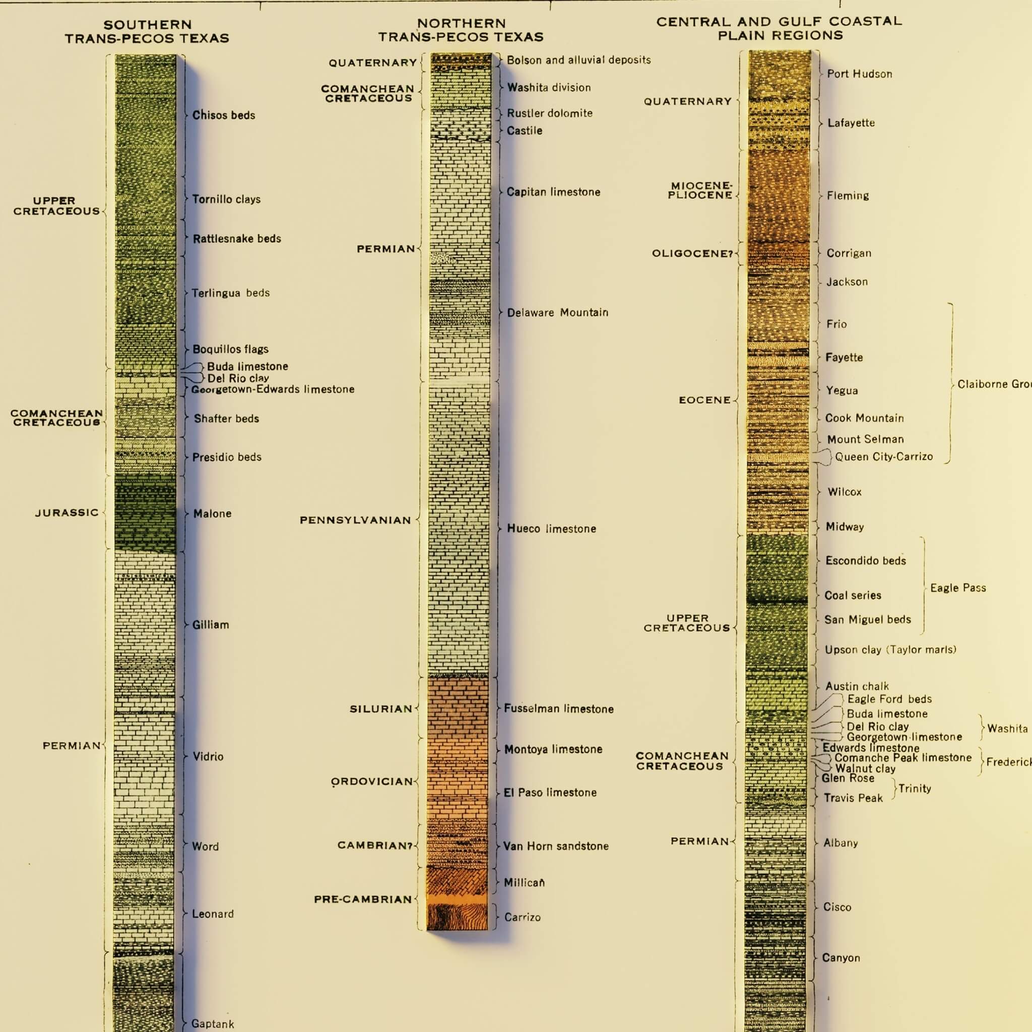
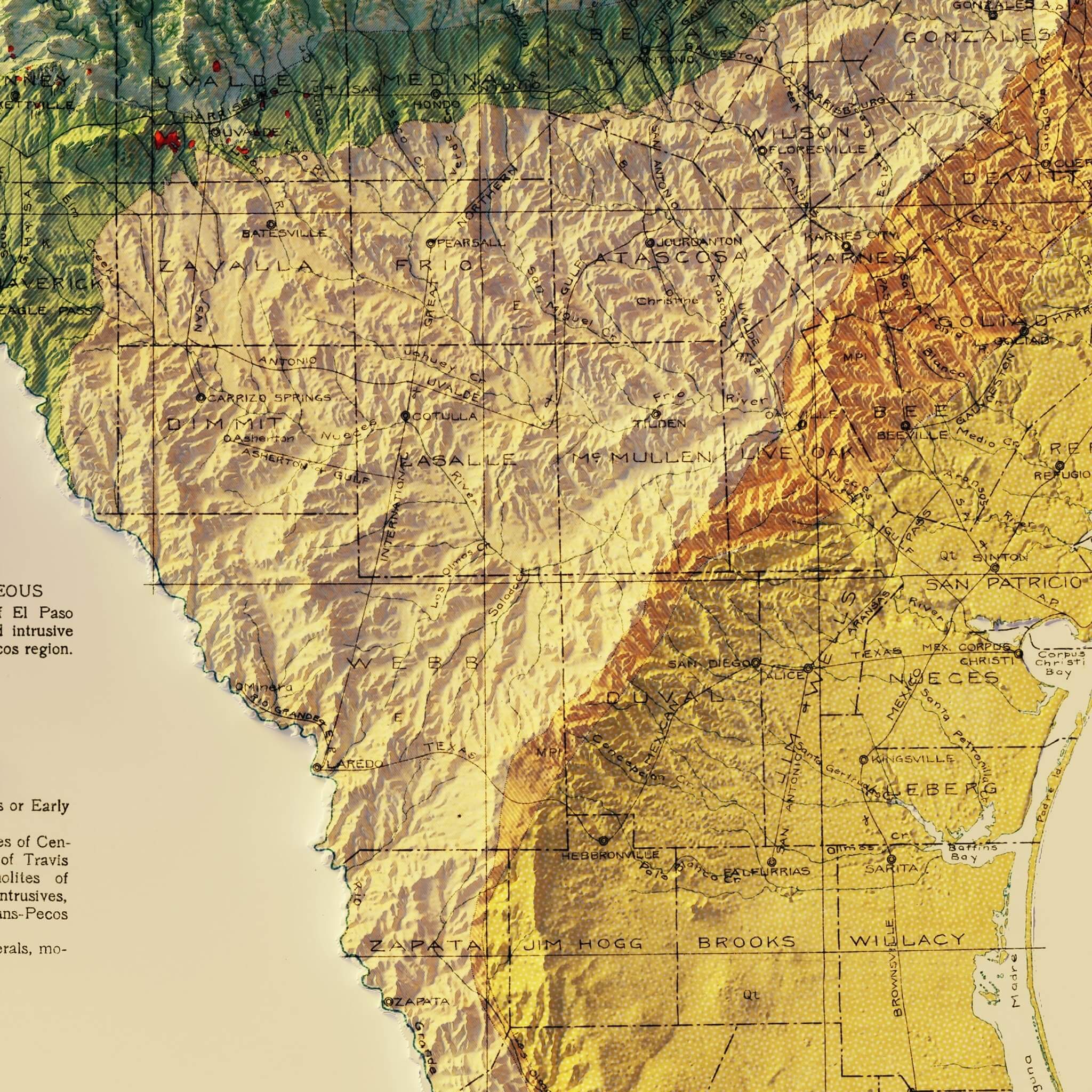
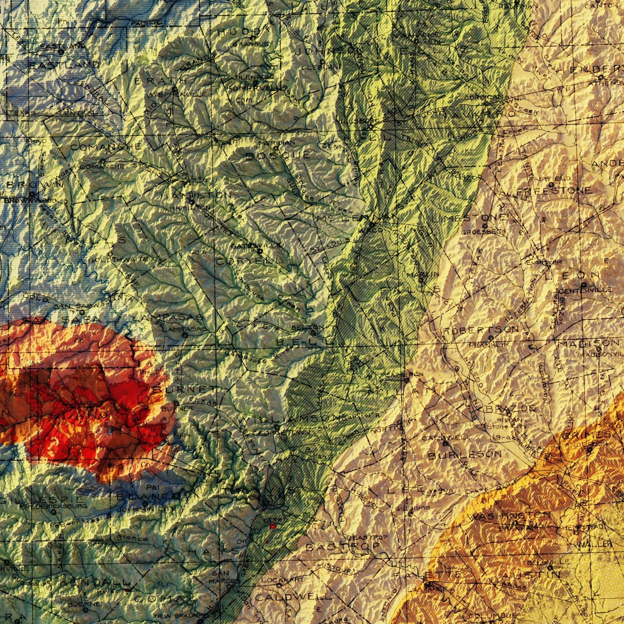
Texas 1916 Shaded Relief Map
A beautifully detailed 1916 Texas Geological Map that we enhanced with a unique 3D illusion that will catch your eye. Using advanced Digital Elevation Data technology, we've created a stunning landscape that comes to life with meticulous shading. The shading is printed on the paper, creating a subtle illusion of depth without any protruding surfaces.
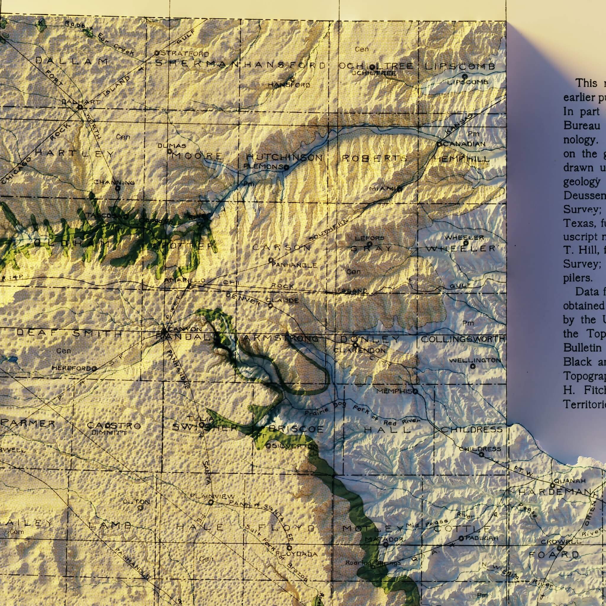
Please Note: Text on the map can be difficult to read due to the small font size and the age of the map. In areas where the relief shading covers the text, the underlying text is not legible. We suggest the largest size map for better details though the text may still be covered in the darker areas.
Product Information
Product Information
Shipping & Returns
Shipping & Returns
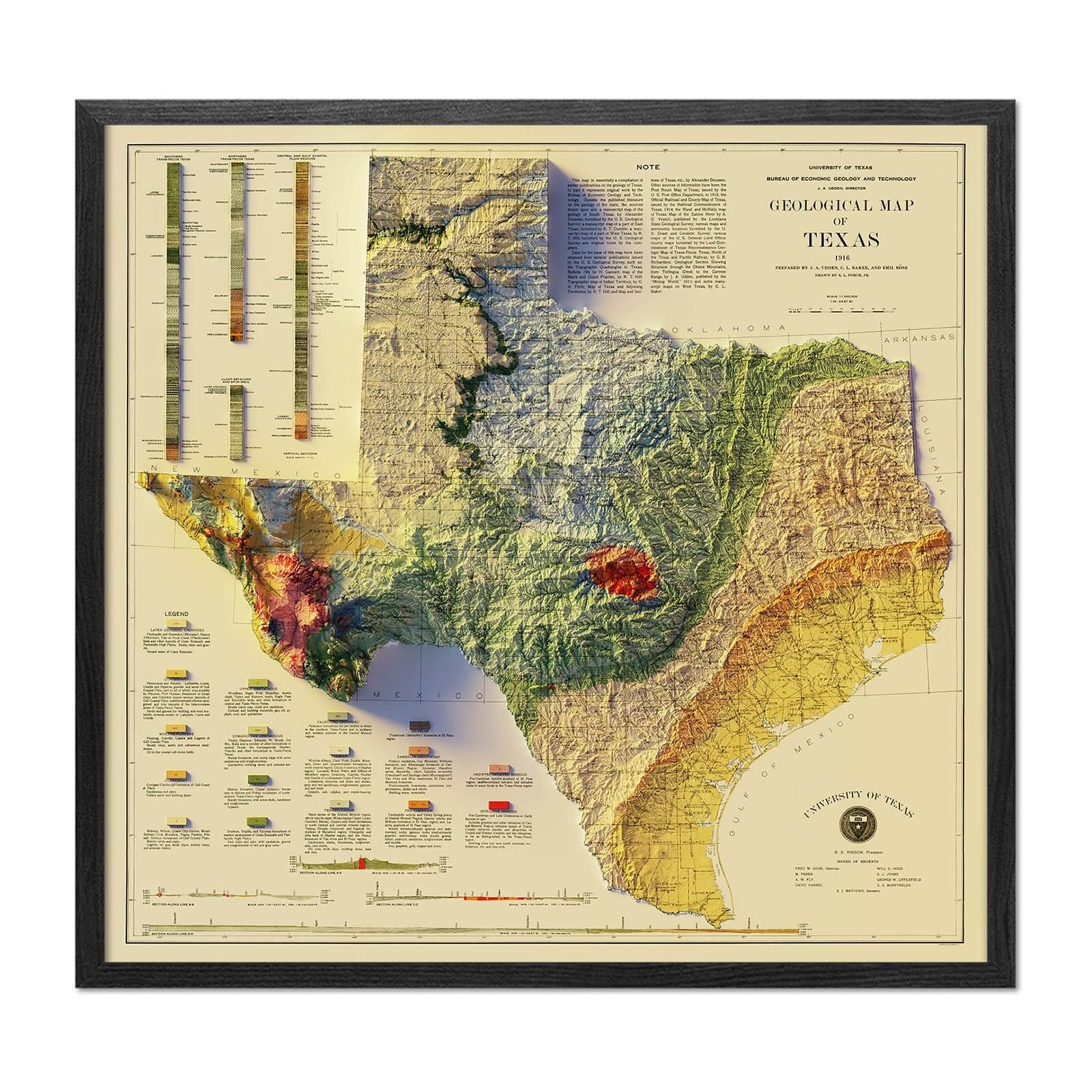
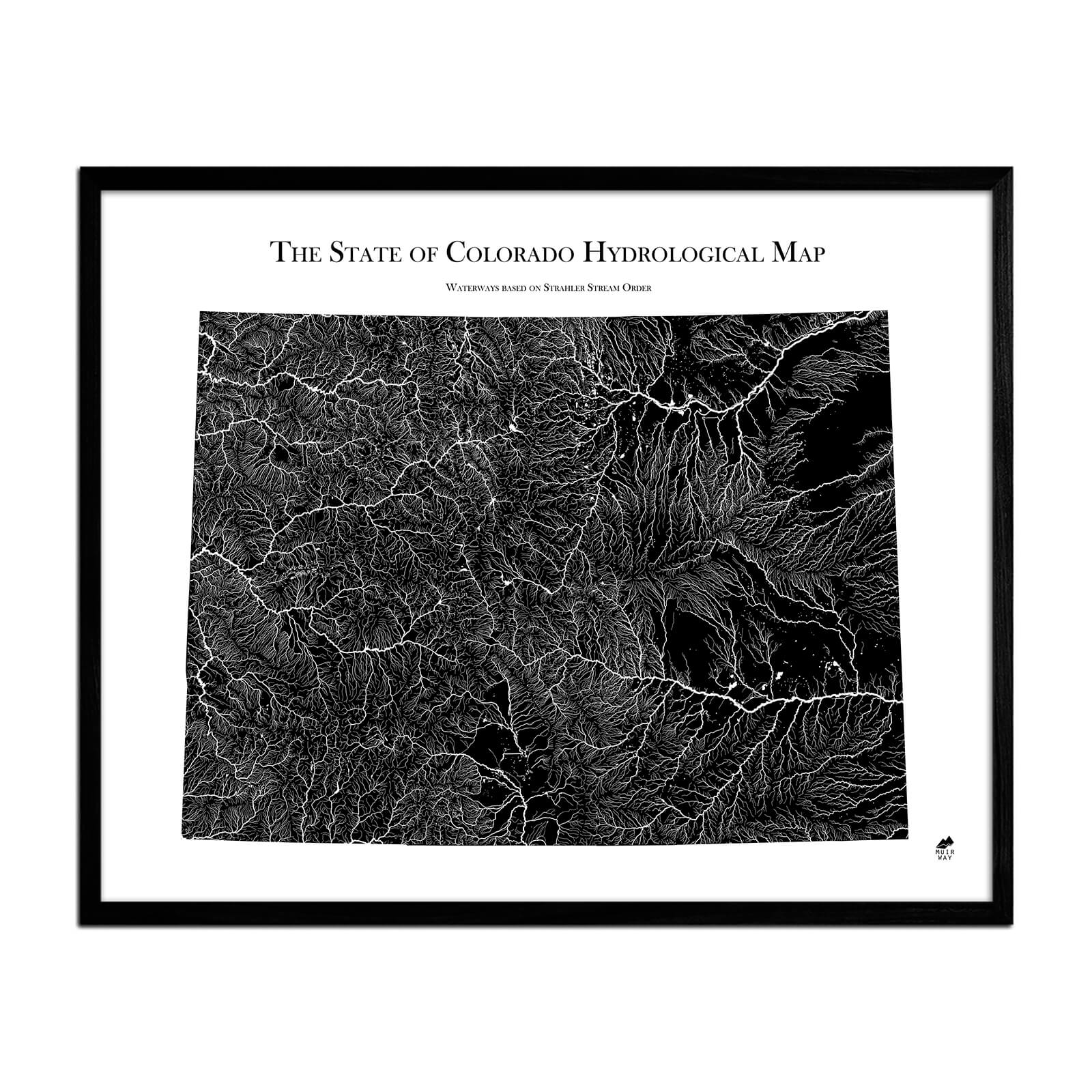
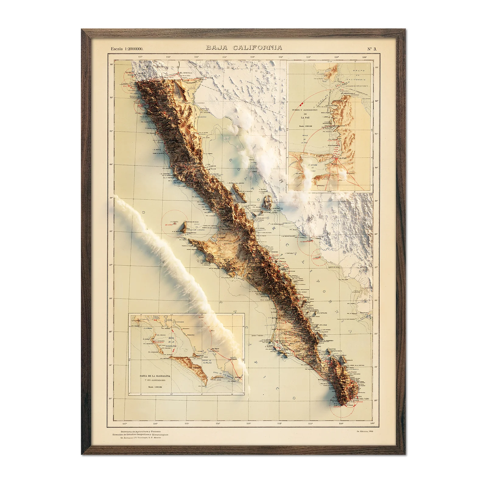
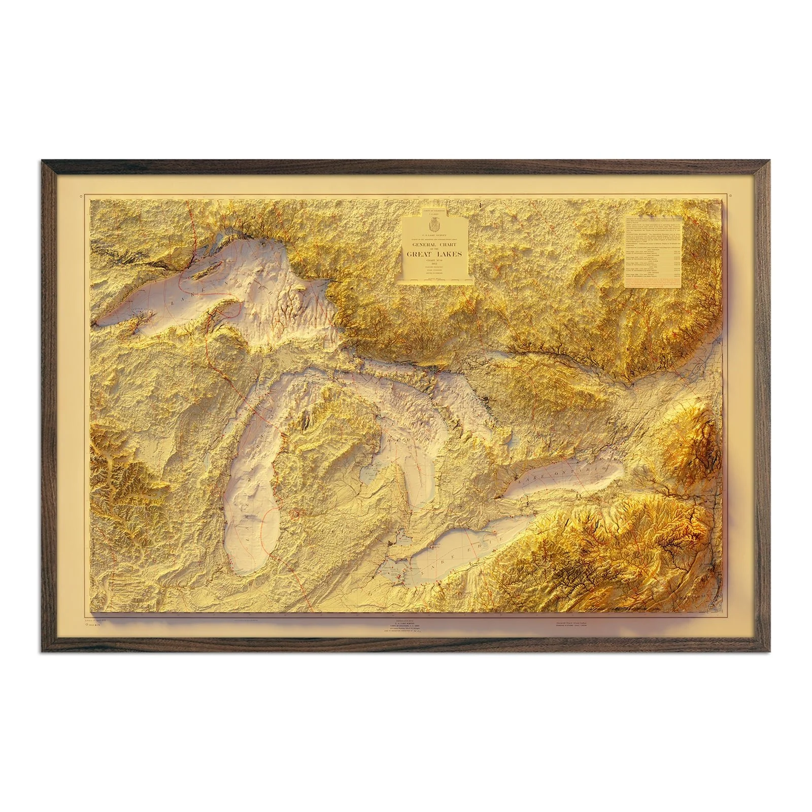
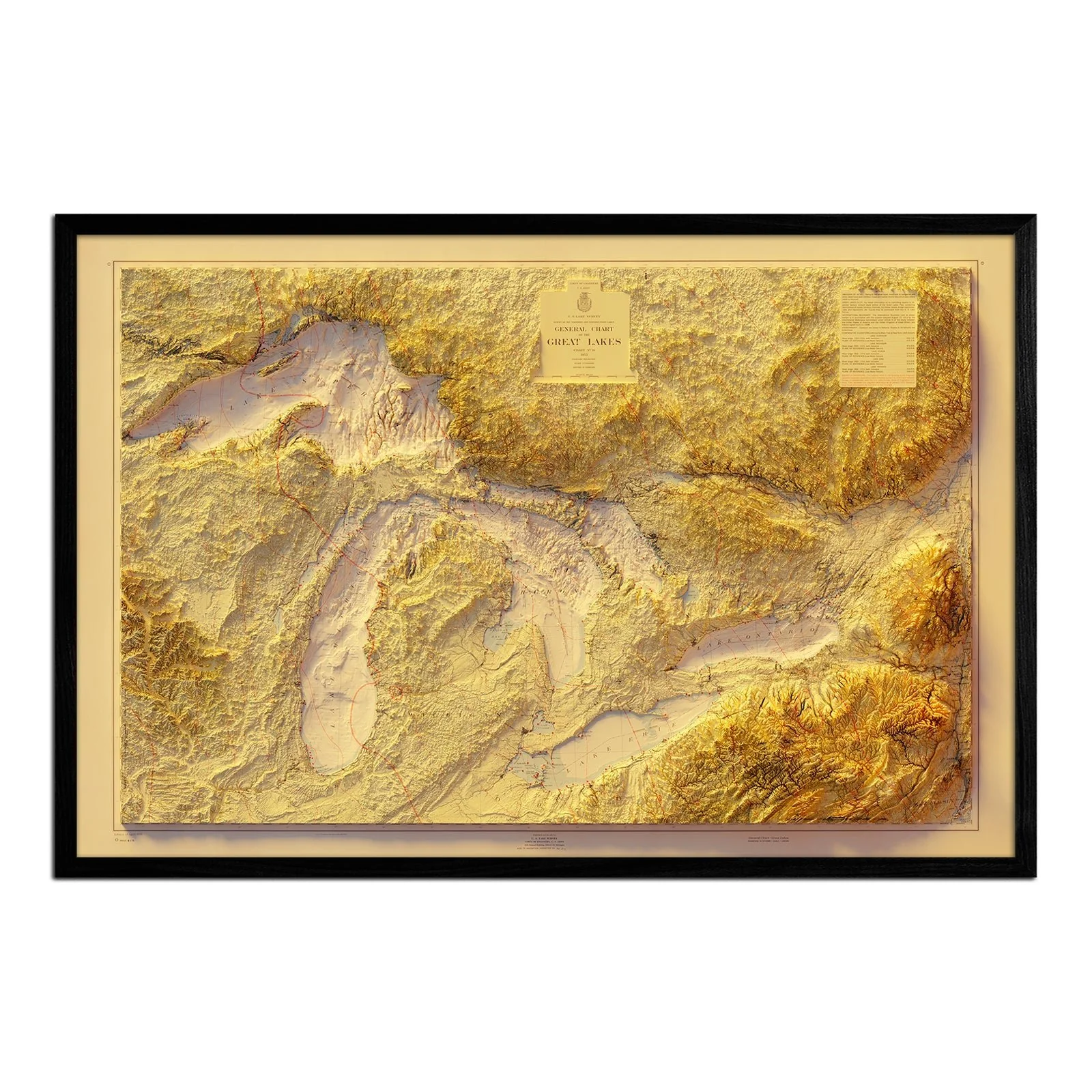
Texas 1916 Shaded Relief Map
Texas 1916 Shaded Relief Map
A beautifully detailed 1916 Texas Geological Map that we enhanced with a unique 3D illusion that will catch your eye. Using advanced Digital Elevation Data technology, we've created a stunning landscape that comes to life with meticulous shading. The shading is printed on the paper, creating a subtle illusion of depth without any protruding surfaces.
Please Note: Text on the map can be difficult to read due to the small font size and the age of the map. In areas where the relief shading covers the text, the underlying text is not legible. We suggest the largest size map for better details though the text may still be covered in the darker areas.
Original: $78.95
-70%$78.95
$23.68Product Information
Product Information
Shipping & Returns
Shipping & Returns
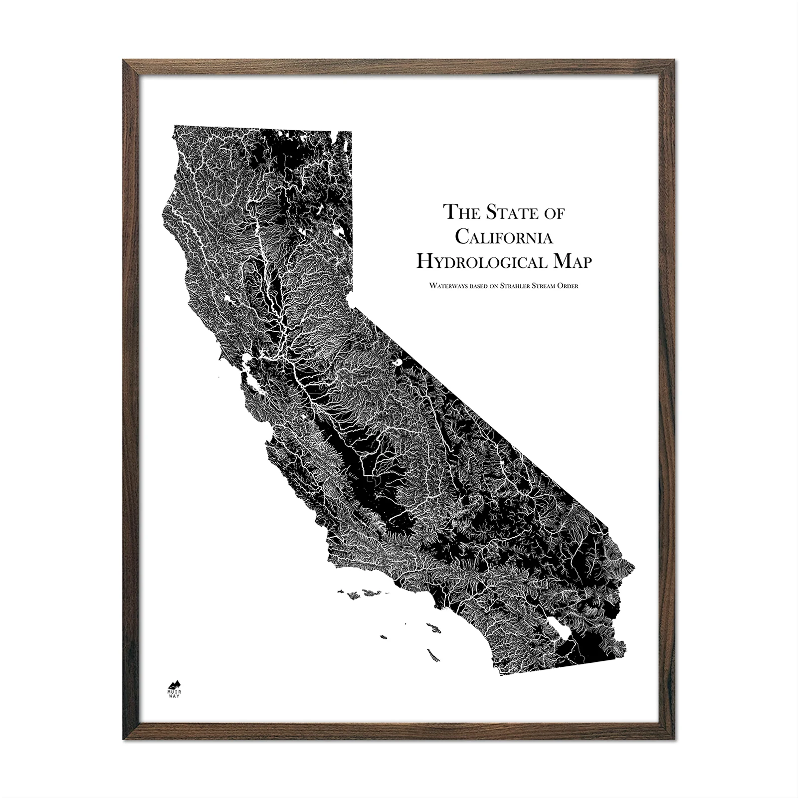
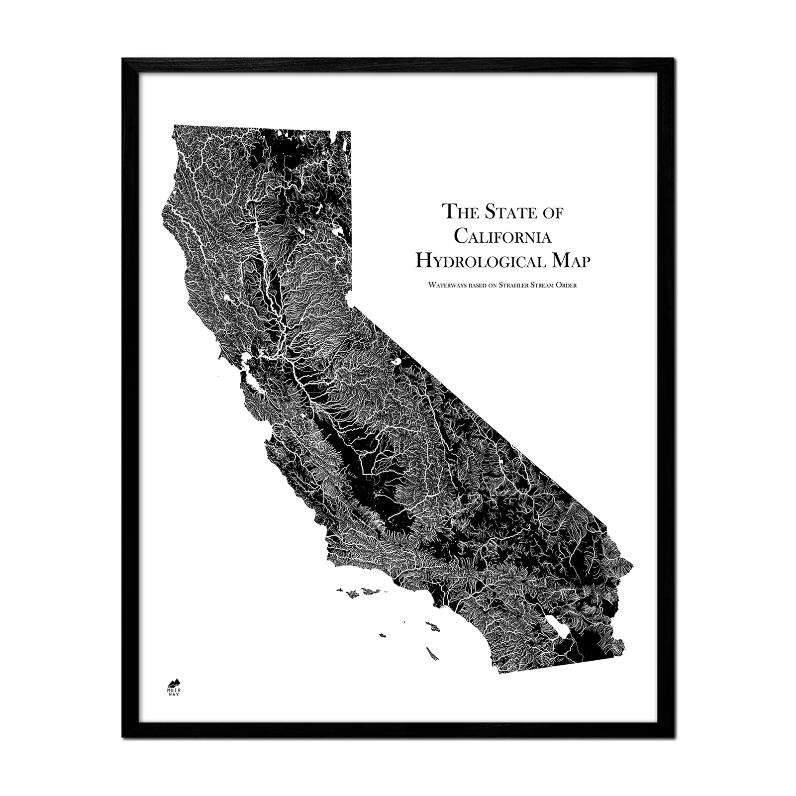
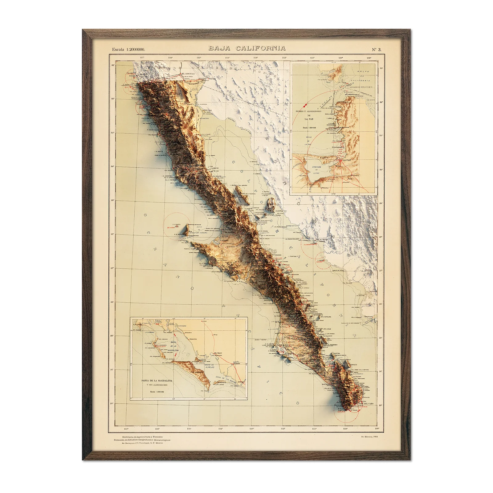
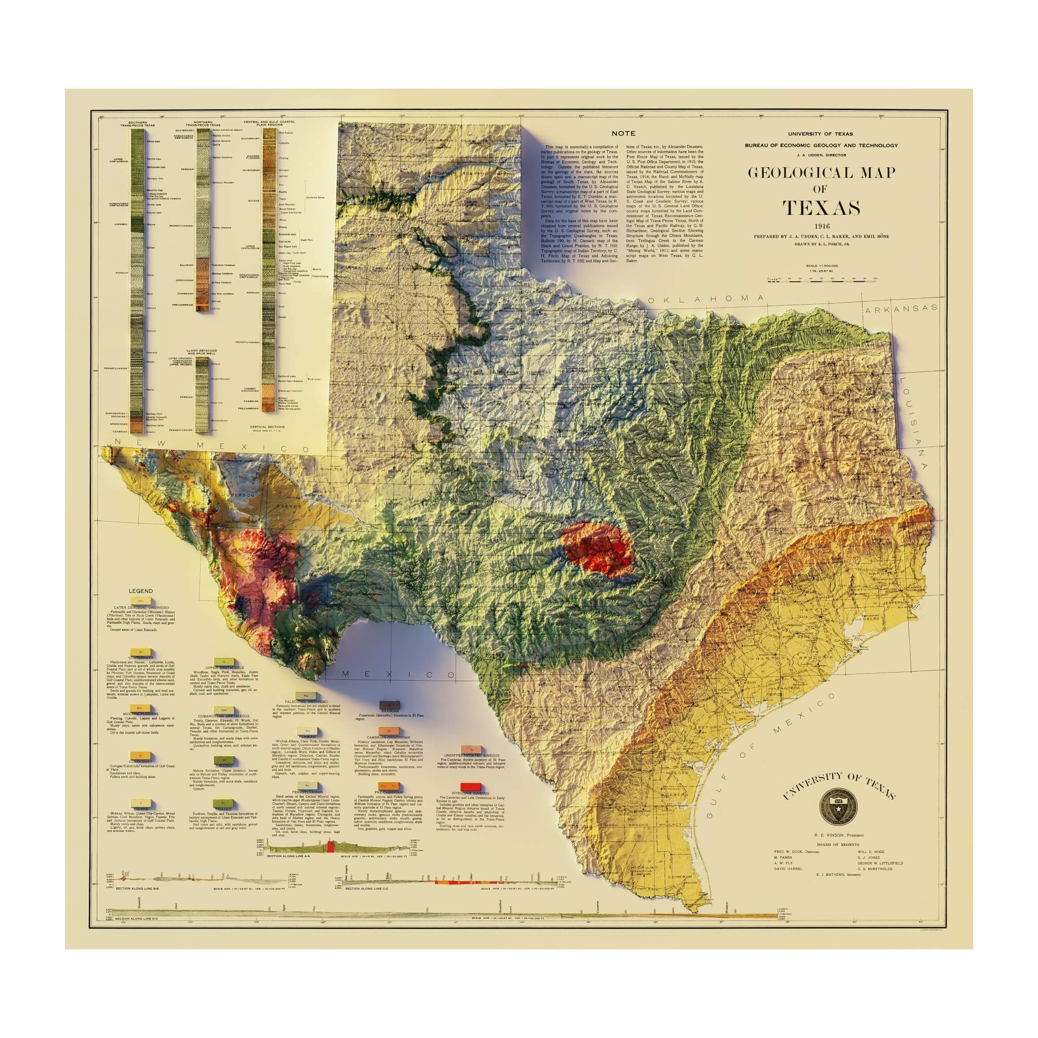
Description
A beautifully detailed 1916 Texas Geological Map that we enhanced with a unique 3D illusion that will catch your eye. Using advanced Digital Elevation Data technology, we've created a stunning landscape that comes to life with meticulous shading. The shading is printed on the paper, creating a subtle illusion of depth without any protruding surfaces.
Please Note: Text on the map can be difficult to read due to the small font size and the age of the map. In areas where the relief shading covers the text, the underlying text is not legible. We suggest the largest size map for better details though the text may still be covered in the darker areas.