USA Hydrological Map – Canvas Green
Limited Quantity made in collaboration with Bradley Mountain
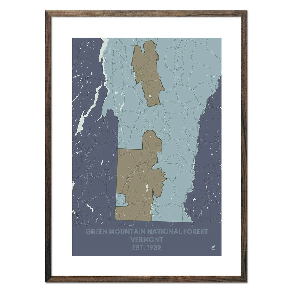
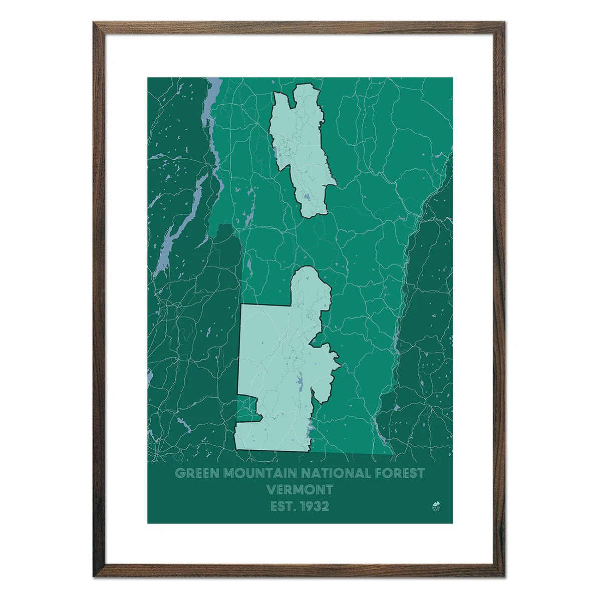
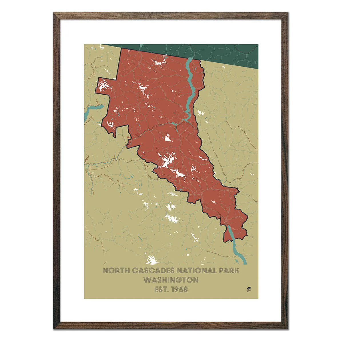
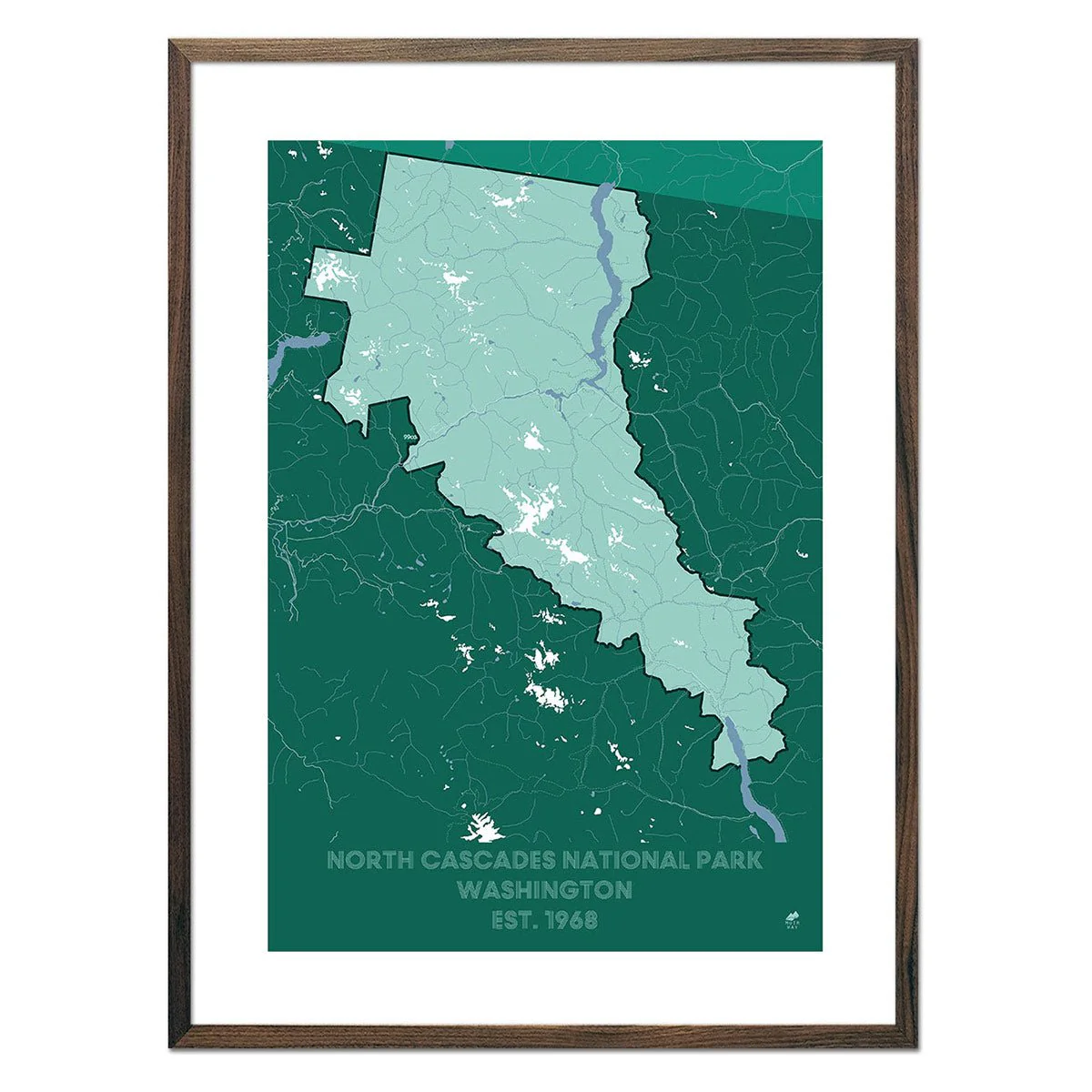
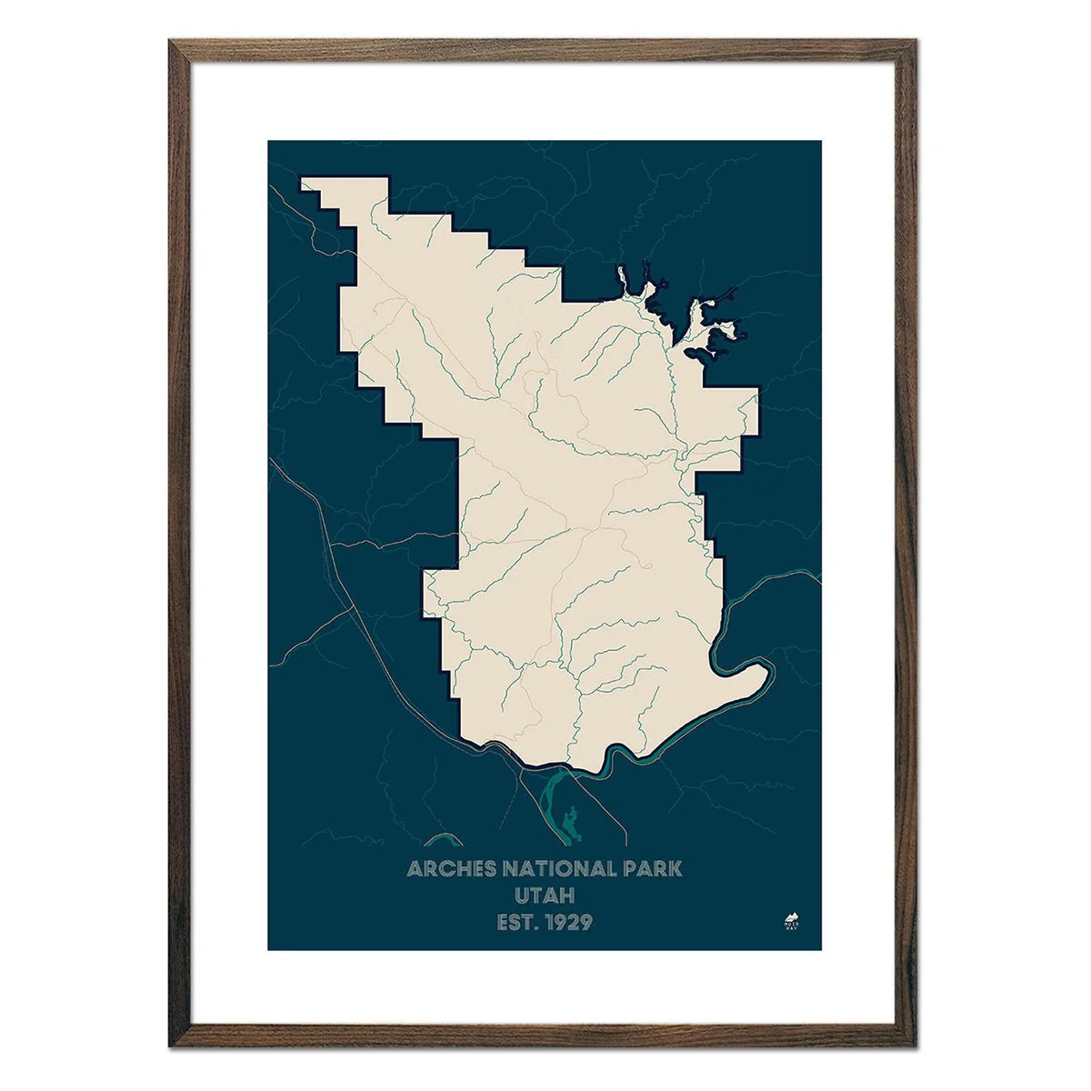
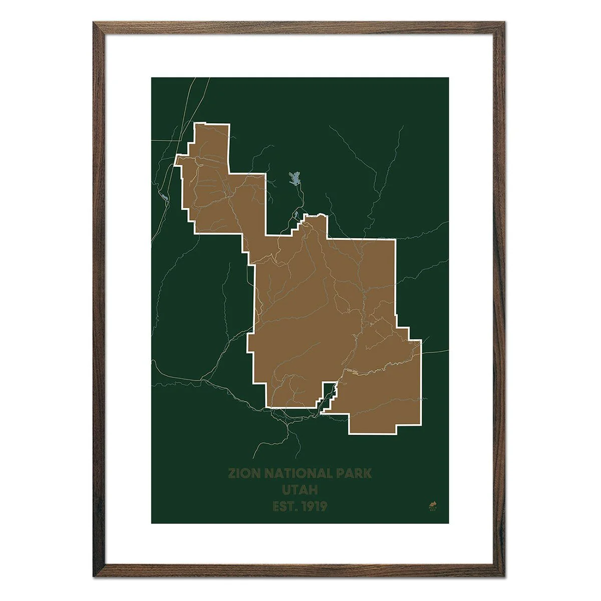
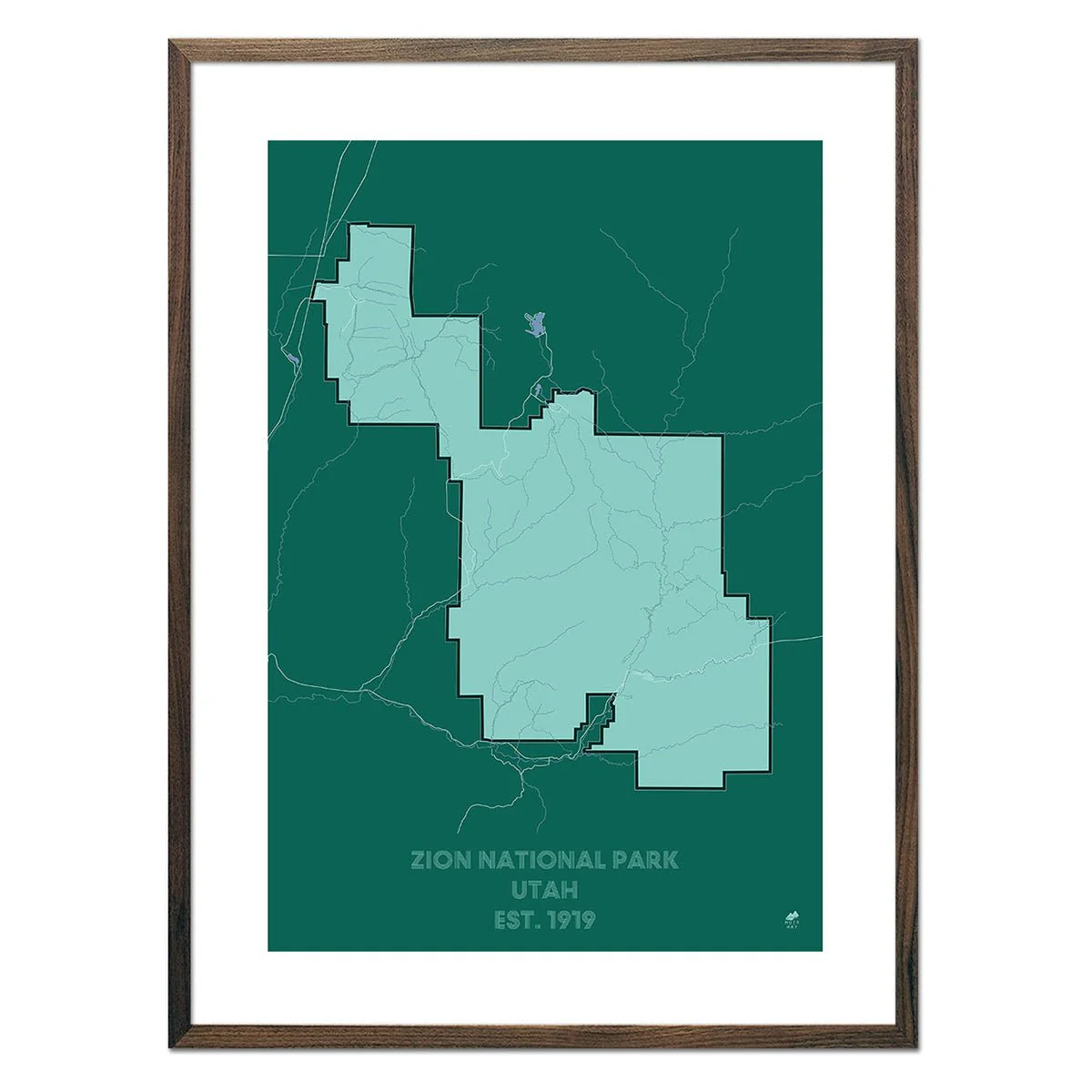
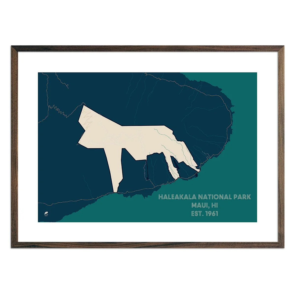
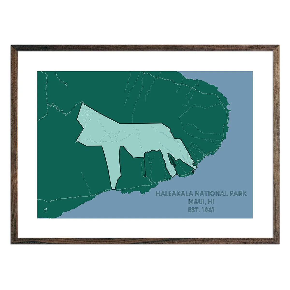
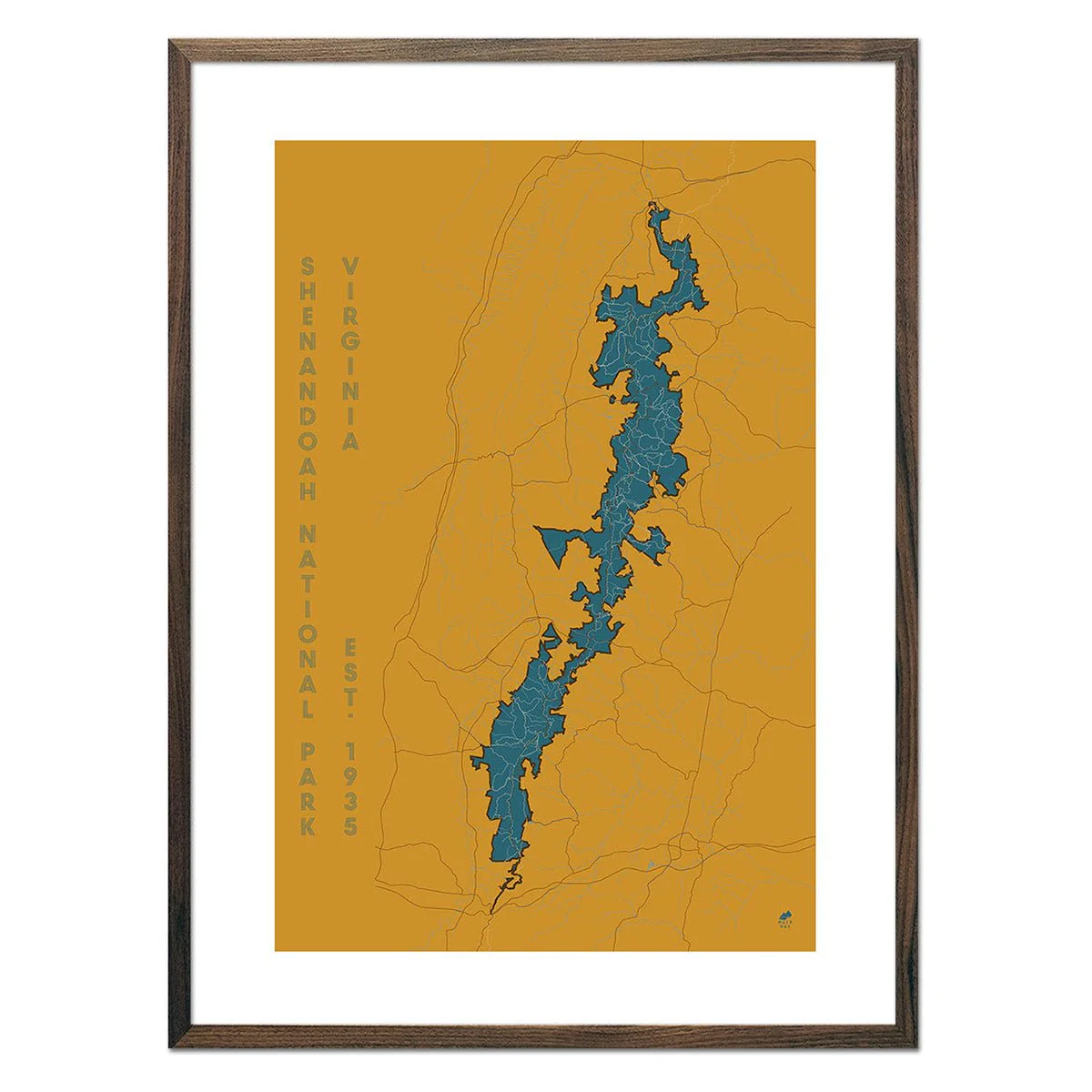
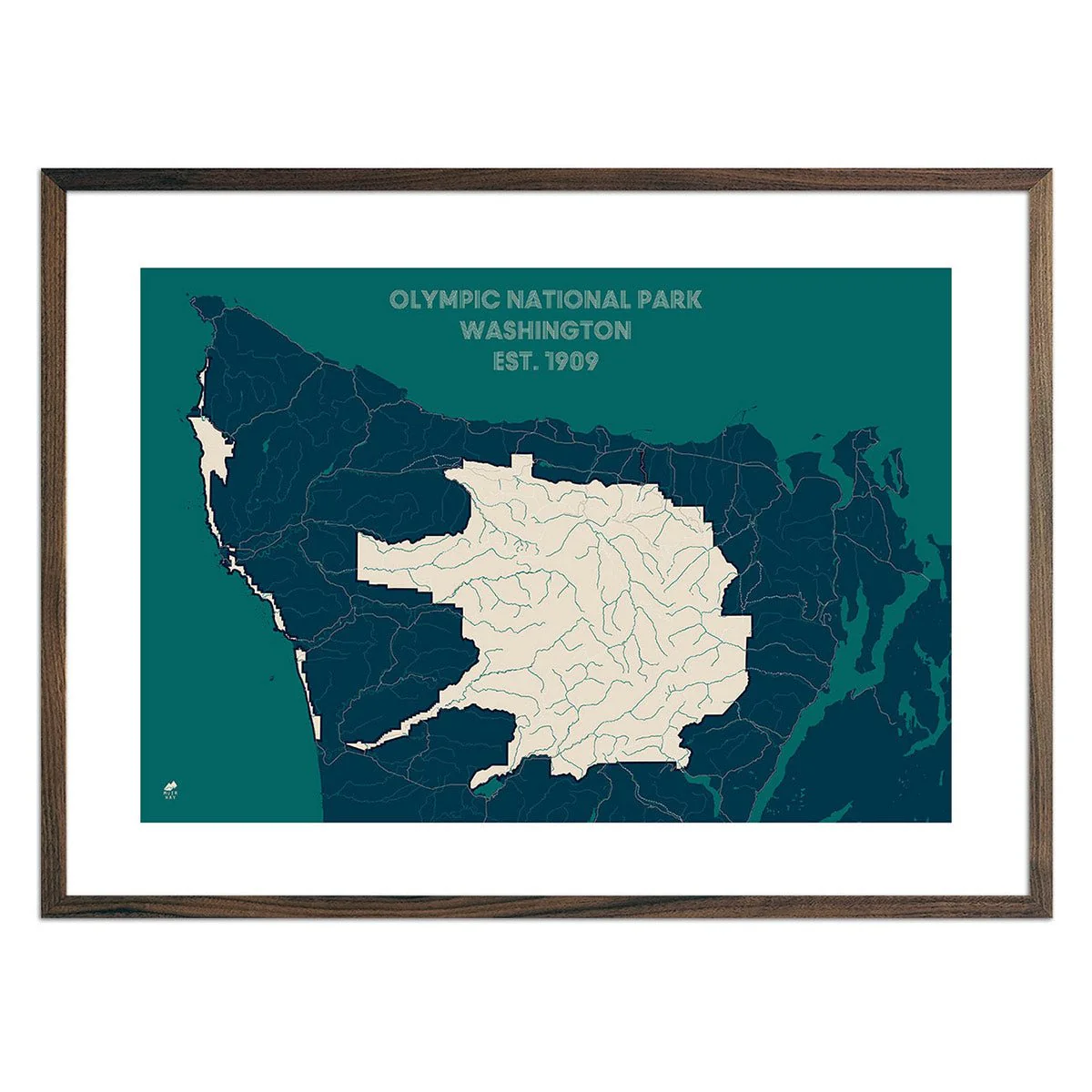
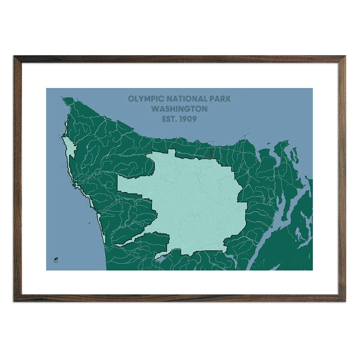
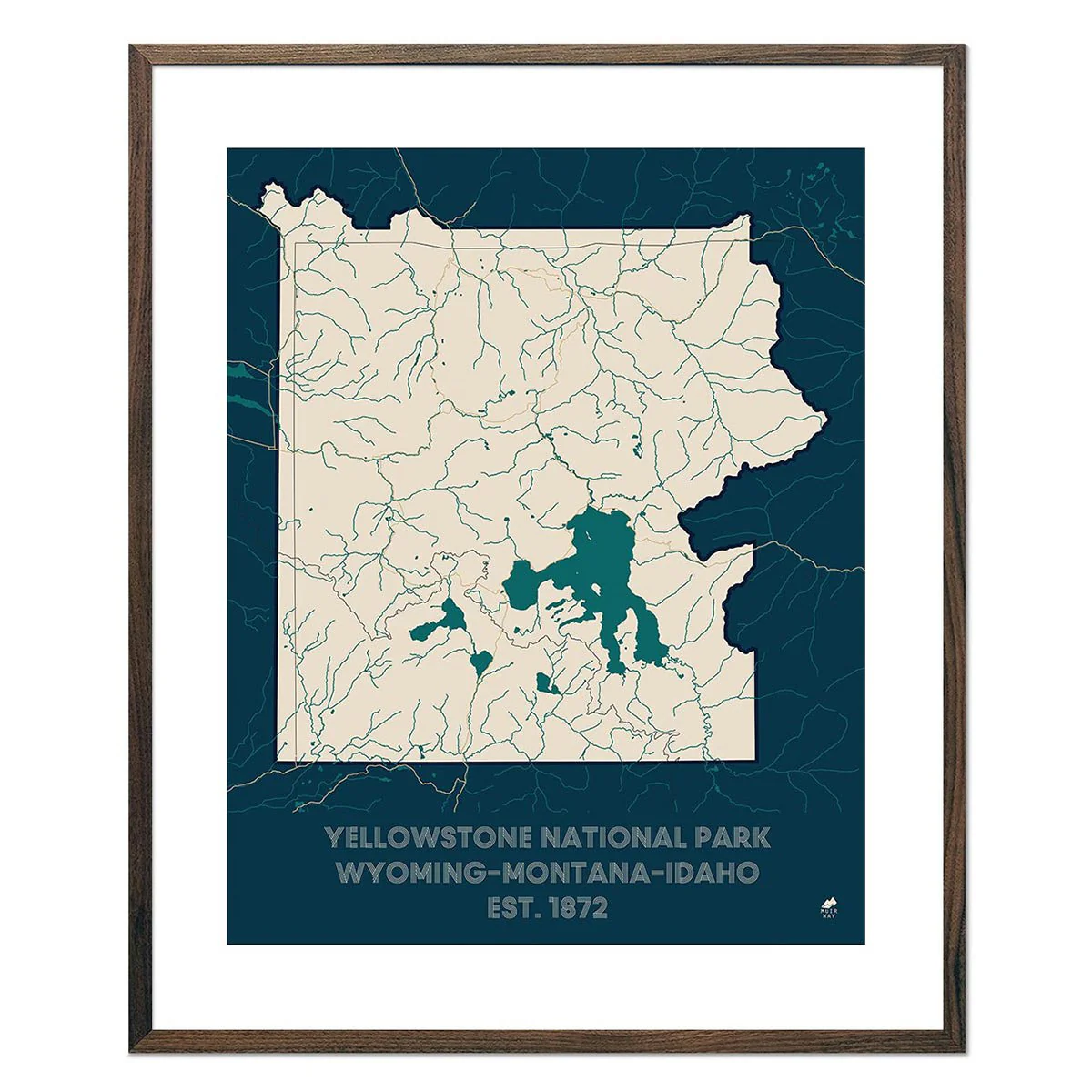
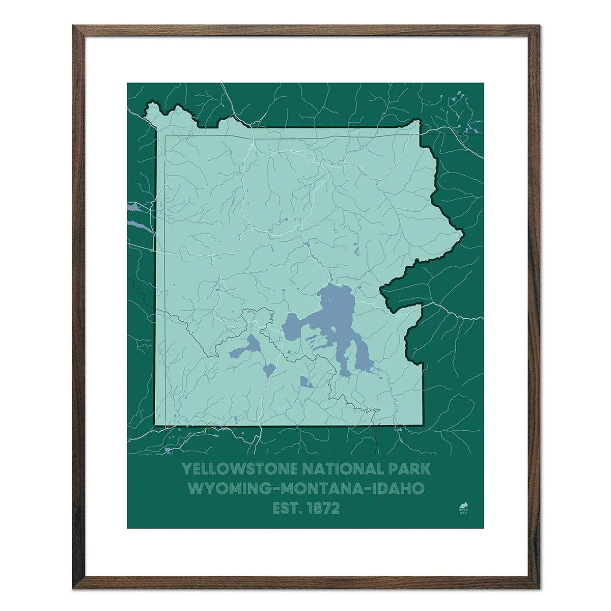
The USA Hydrological Map shows in fascinating detail how the state’s rivers and streams flow and interconnect, merge and diverge, carrying life to the land.
With exceptional detail, this map depicts every river in the country, even intermittent streams, and every body of water with a diameter greater than 6 miles. The rivers are illustrated through a method called the Strahler Stream Order which shows the hierarchy of streams as they flow from their source – rivers are shown thicker as they acquire the flow of tributaries. We think it enhances a sense of the interconnectedness of our waterways.
Product Information
Product Information
Shipping & Returns
Shipping & Returns


USA Hydrological Map – Canvas Green
USA Hydrological Map – Canvas Green
Limited Quantity made in collaboration with Bradley Mountain
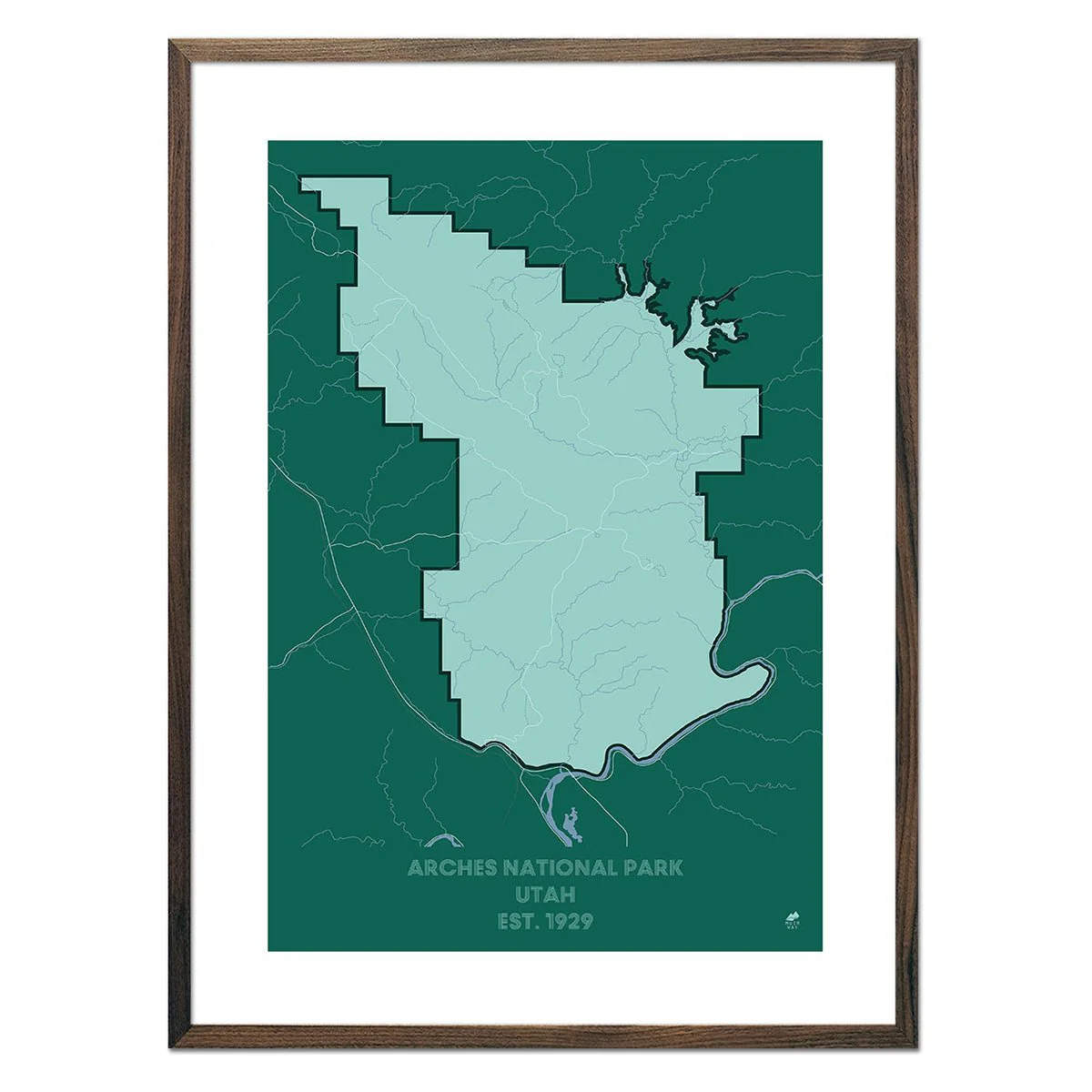
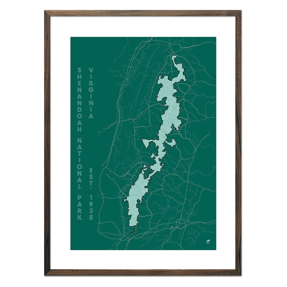
The USA Hydrological Map shows in fascinating detail how the state’s rivers and streams flow and interconnect, merge and diverge, carrying life to the land.
With exceptional detail, this map depicts every river in the country, even intermittent streams, and every body of water with a diameter greater than 6 miles. The rivers are illustrated through a method called the Strahler Stream Order which shows the hierarchy of streams as they flow from their source – rivers are shown thicker as they acquire the flow of tributaries. We think it enhances a sense of the interconnectedness of our waterways.
Original: $7,100.00
-70%$7,100.00
$2,130.00Product Information
Product Information
Shipping & Returns
Shipping & Returns
Description
Limited Quantity made in collaboration with Bradley Mountain
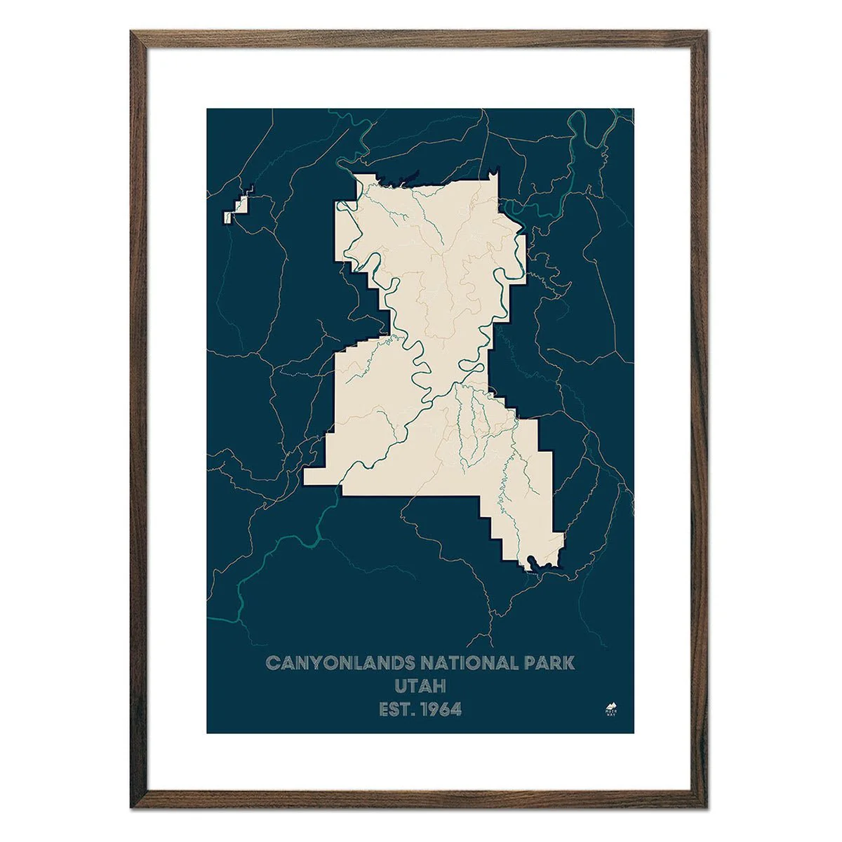
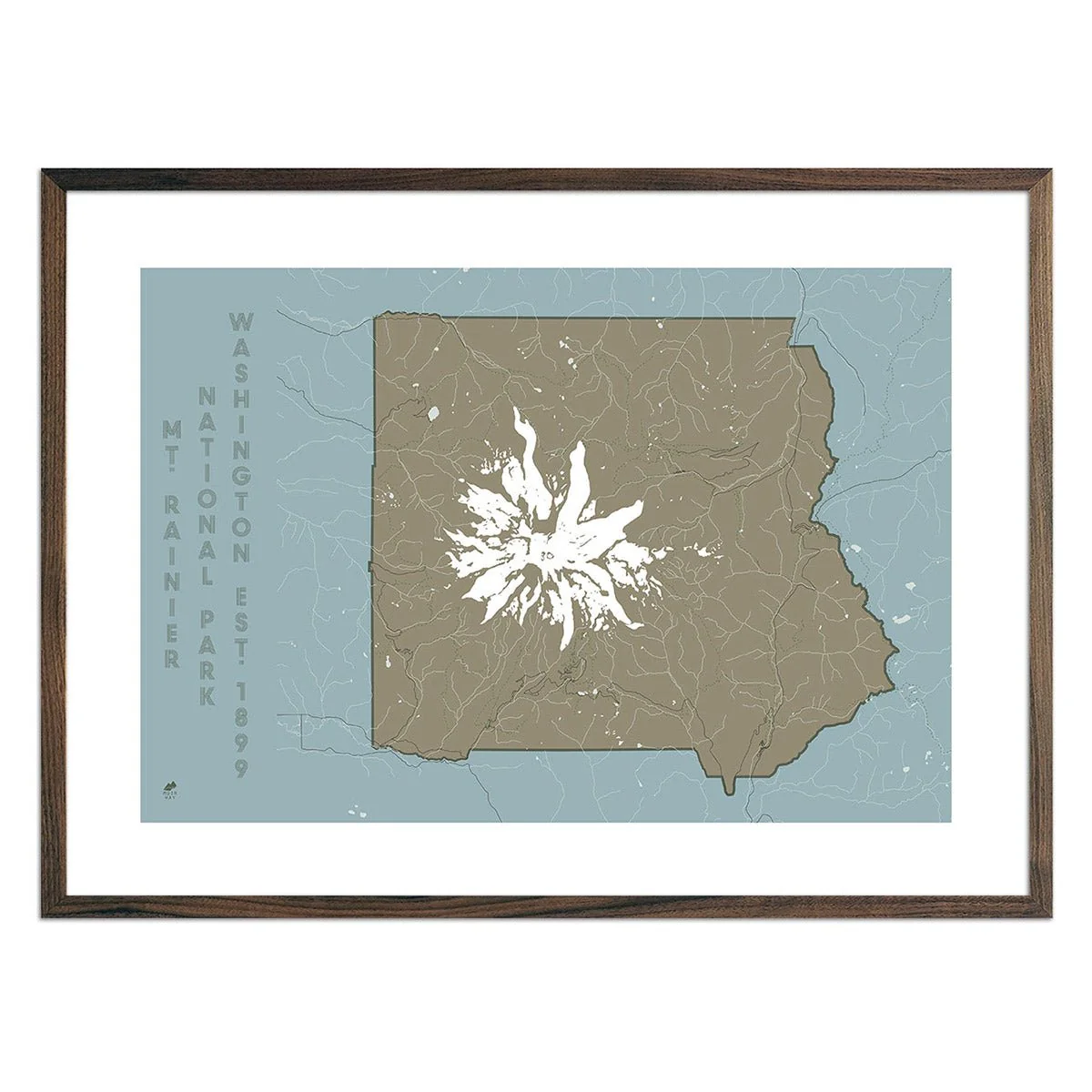
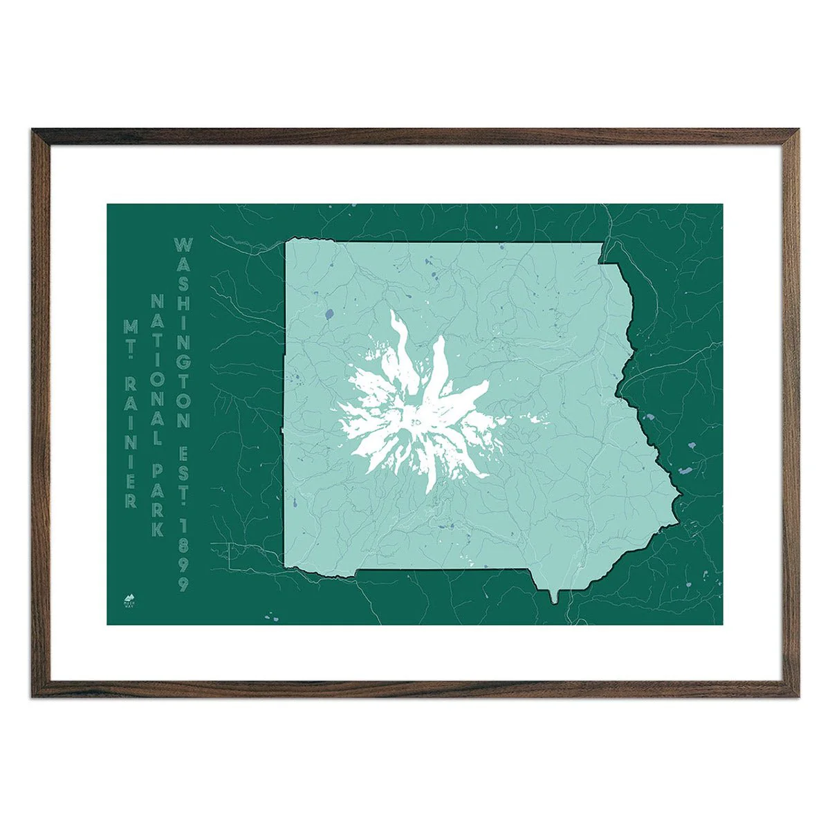
The USA Hydrological Map shows in fascinating detail how the state’s rivers and streams flow and interconnect, merge and diverge, carrying life to the land.
With exceptional detail, this map depicts every river in the country, even intermittent streams, and every body of water with a diameter greater than 6 miles. The rivers are illustrated through a method called the Strahler Stream Order which shows the hierarchy of streams as they flow from their source – rivers are shown thicker as they acquire the flow of tributaries. We think it enhances a sense of the interconnectedness of our waterways.