California State 1876 Map
We love old maps. Their coloration, typography, legends, notations, and sometimes even outdated place names all have a nostalgic quality that gives them a special beauty. If you share our love for vintage maps, you’ll appreciate this 1876 California State Map in our Historic Series.
The California State map was originally produced on two separate pages and has been digitally combined to make a single map. There is a noticeable difference between the top half and bottom half.
This map was made from official records of the General Land Office and other sources by C. Roeser, Principal Draughtsman G.L.O. Photolith. & Print by Julius Bien in 1876.
Product Information
Product Information
Shipping & Returns
Shipping & Returns


California State 1876 Map
California State 1876 Map
We love old maps. Their coloration, typography, legends, notations, and sometimes even outdated place names all have a nostalgic quality that gives them a special beauty. If you share our love for vintage maps, you’ll appreciate this 1876 California State Map in our Historic Series.
The California State map was originally produced on two separate pages and has been digitally combined to make a single map. There is a noticeable difference between the top half and bottom half.
This map was made from official records of the General Land Office and other sources by C. Roeser, Principal Draughtsman G.L.O. Photolith. & Print by Julius Bien in 1876.
Original: $5,800.00
-70%$5,800.00
$1,740.00Product Information
Product Information
Shipping & Returns
Shipping & Returns
Description
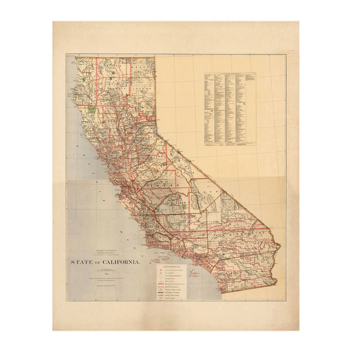
We love old maps. Their coloration, typography, legends, notations, and sometimes even outdated place names all have a nostalgic quality that gives them a special beauty. If you share our love for vintage maps, you’ll appreciate this 1876 California State Map in our Historic Series.
The California State map was originally produced on two separate pages and has been digitally combined to make a single map. There is a noticeable difference between the top half and bottom half.
This map was made from official records of the General Land Office and other sources by C. Roeser, Principal Draughtsman G.L.O. Photolith. & Print by Julius Bien in 1876.