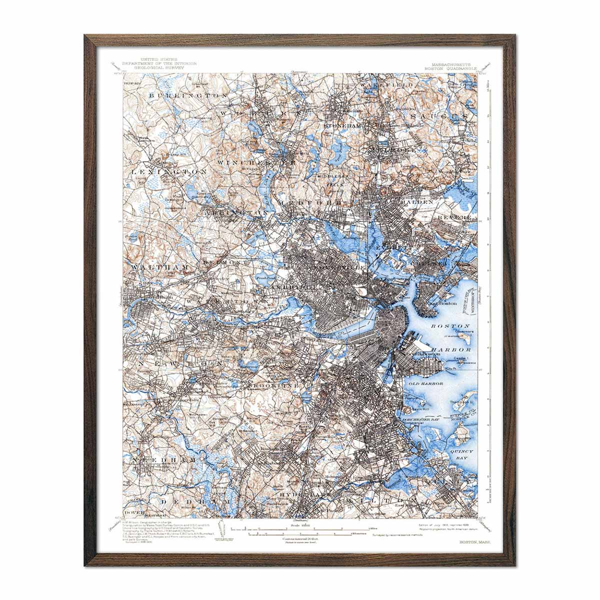
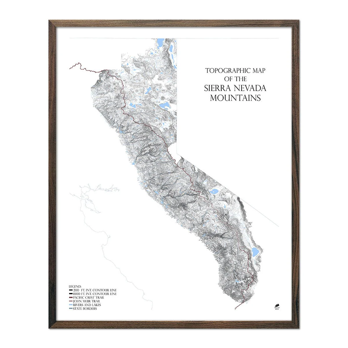
World Shaded Relief Map (Dymaxion Map)
The Dymaxion map or Fuller map's defining characteristics are the projection of the world onto a flat, unfolded icosahedron and the depiction of the continents as nearly contiguous land masses, or "one island". Buckminster Fuller invented the original projection in 1943 which was presented in a photographic essay in Life magazine. In 1954, he updated it with fellow cartographer Shoji Sadao to the version most commonly used today, including our version. There are several advantages of the Dymaxion map over other projections, such as having less distortion of relative sizes and shapes of areas compared to the more commonly used Mercator and Gall-Peters projections.
In our version, we applied Digital Elevation Data and meticulously added shaded relief to the land and ocean to create the illusion of 3D. The shading is printed on the paper and is not a result of the map protruding from the surface.
Product Information
Product Information
Shipping & Returns
Shipping & Returns


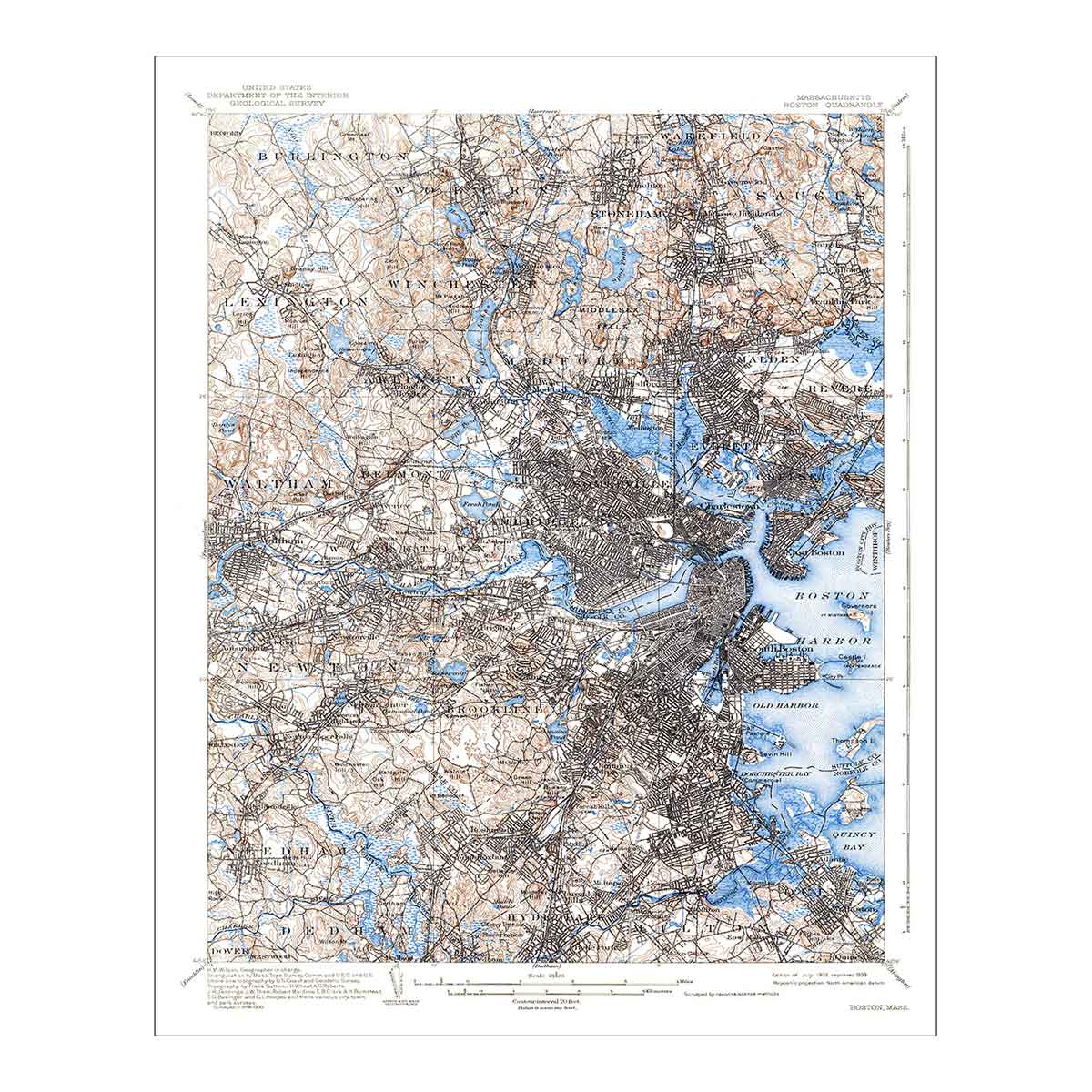
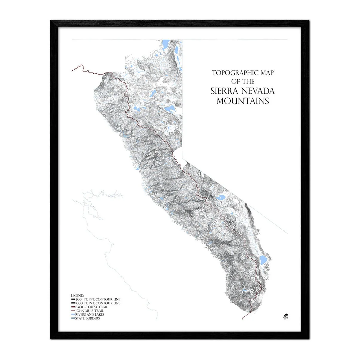
World Shaded Relief Map (Dymaxion Map)
World Shaded Relief Map (Dymaxion Map)
The Dymaxion map or Fuller map's defining characteristics are the projection of the world onto a flat, unfolded icosahedron and the depiction of the continents as nearly contiguous land masses, or "one island". Buckminster Fuller invented the original projection in 1943 which was presented in a photographic essay in Life magazine. In 1954, he updated it with fellow cartographer Shoji Sadao to the version most commonly used today, including our version. There are several advantages of the Dymaxion map over other projections, such as having less distortion of relative sizes and shapes of areas compared to the more commonly used Mercator and Gall-Peters projections.
In our version, we applied Digital Elevation Data and meticulously added shaded relief to the land and ocean to create the illusion of 3D. The shading is printed on the paper and is not a result of the map protruding from the surface.
Original: $2,063,000.00
-70%$2,063,000.00
$618,900.00Product Information
Product Information
Shipping & Returns
Shipping & Returns
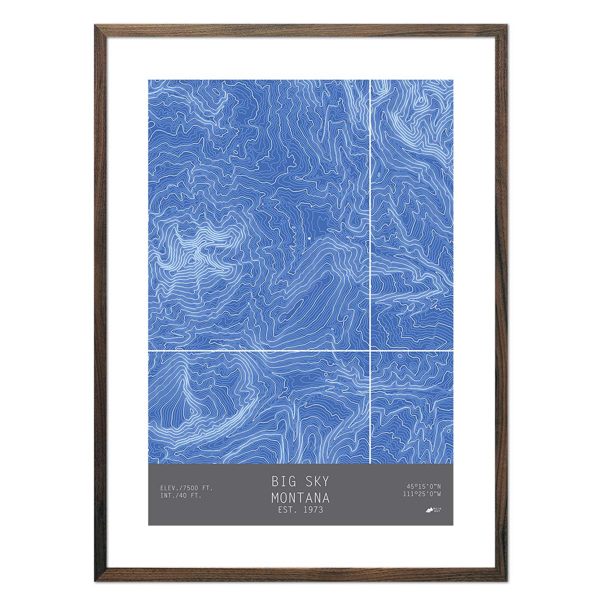
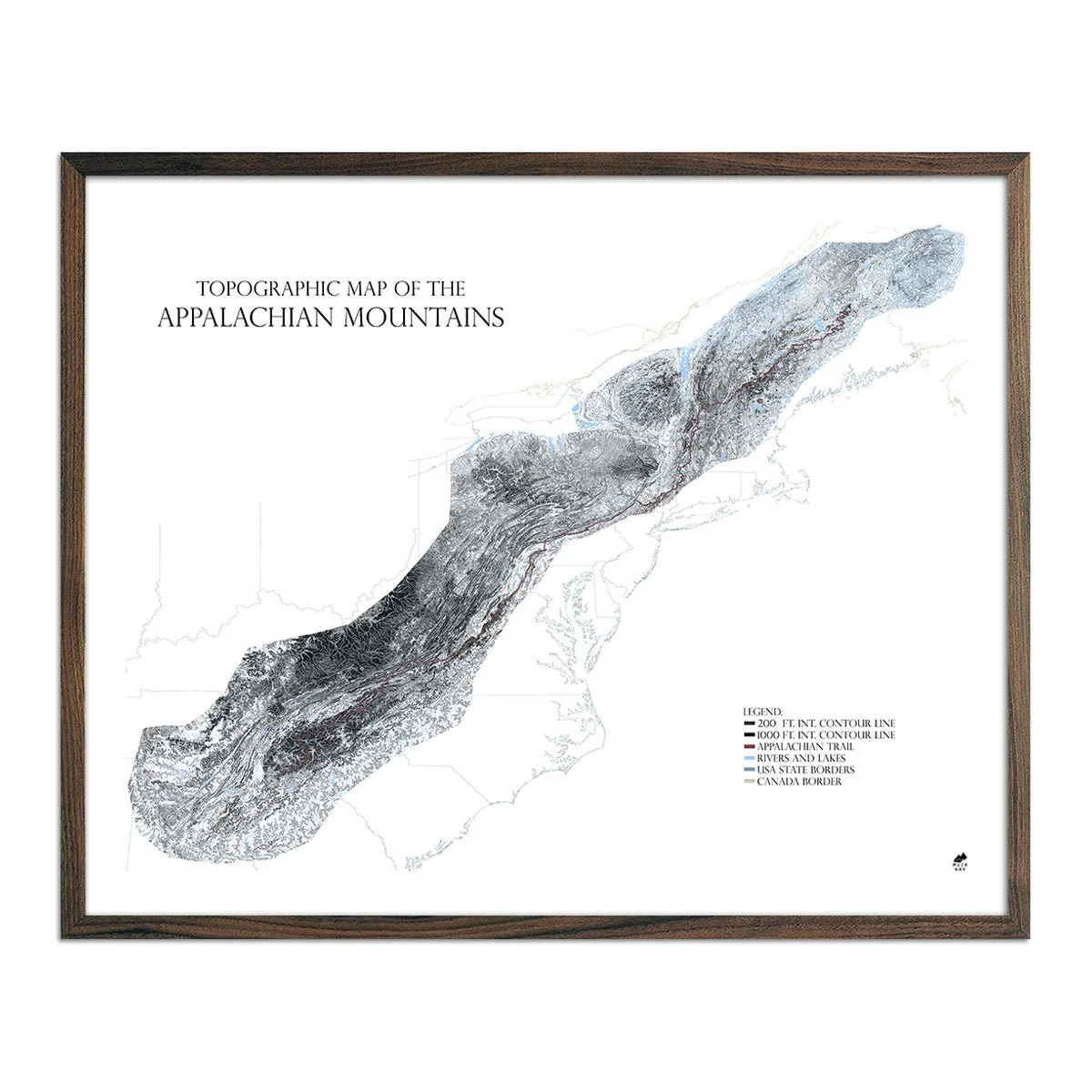
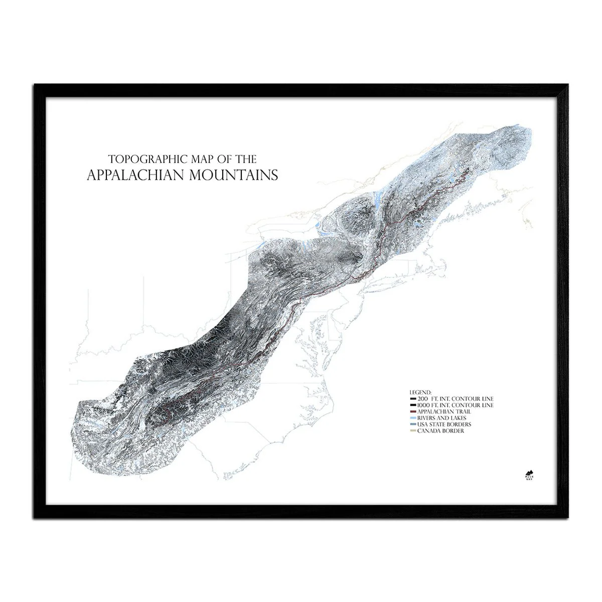
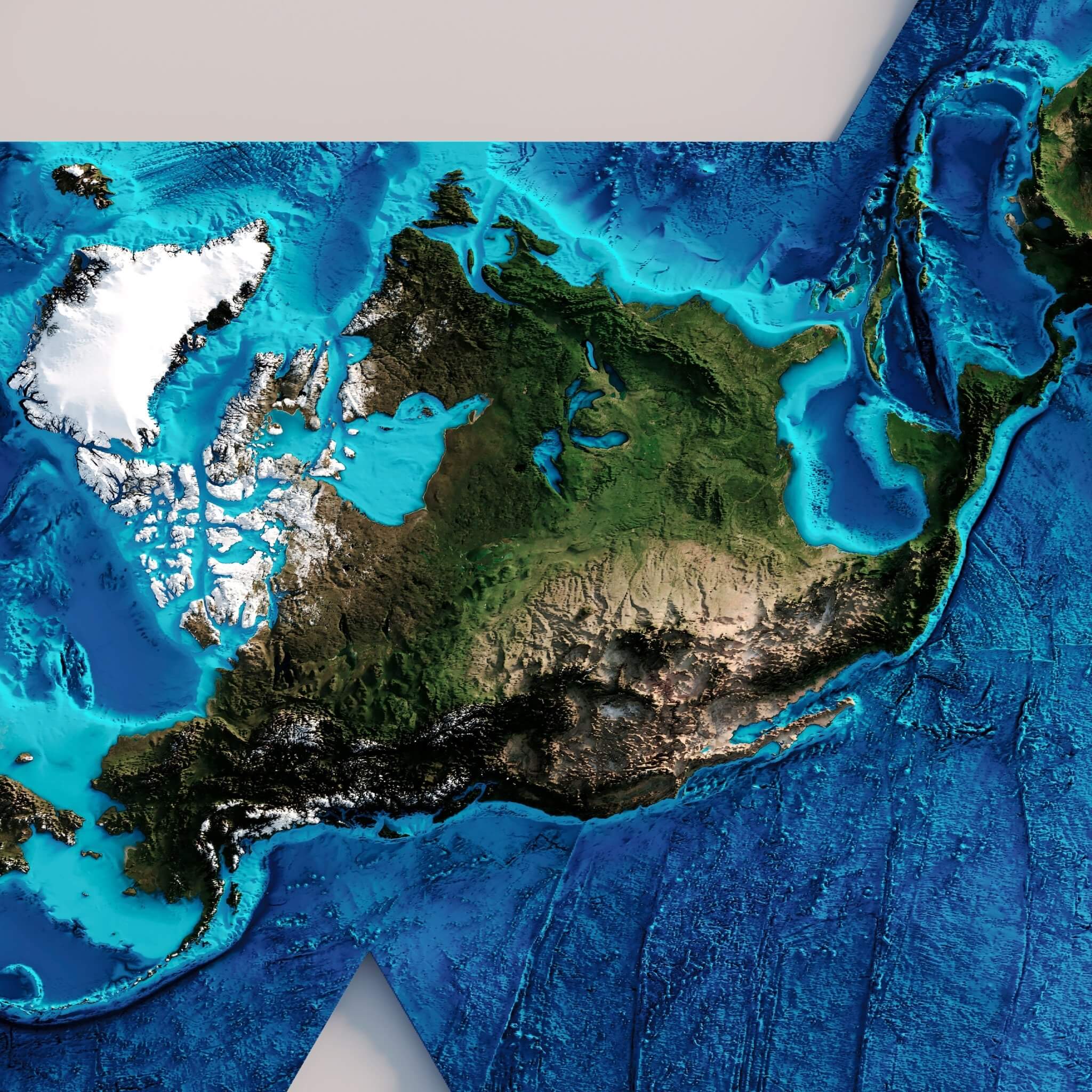
Description
The Dymaxion map or Fuller map's defining characteristics are the projection of the world onto a flat, unfolded icosahedron and the depiction of the continents as nearly contiguous land masses, or "one island". Buckminster Fuller invented the original projection in 1943 which was presented in a photographic essay in Life magazine. In 1954, he updated it with fellow cartographer Shoji Sadao to the version most commonly used today, including our version. There are several advantages of the Dymaxion map over other projections, such as having less distortion of relative sizes and shapes of areas compared to the more commonly used Mercator and Gall-Peters projections.
In our version, we applied Digital Elevation Data and meticulously added shaded relief to the land and ocean to create the illusion of 3D. The shading is printed on the paper and is not a result of the map protruding from the surface.