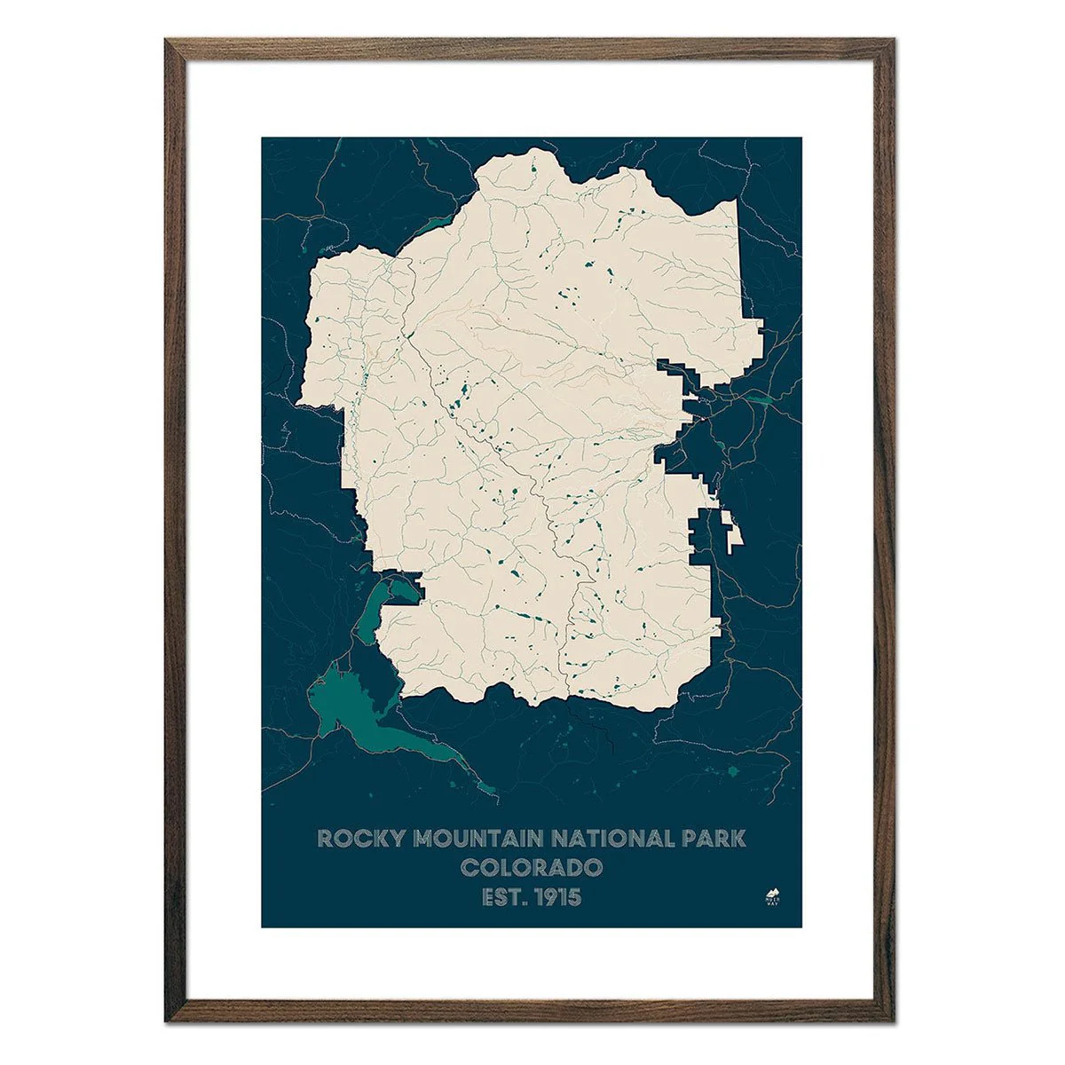
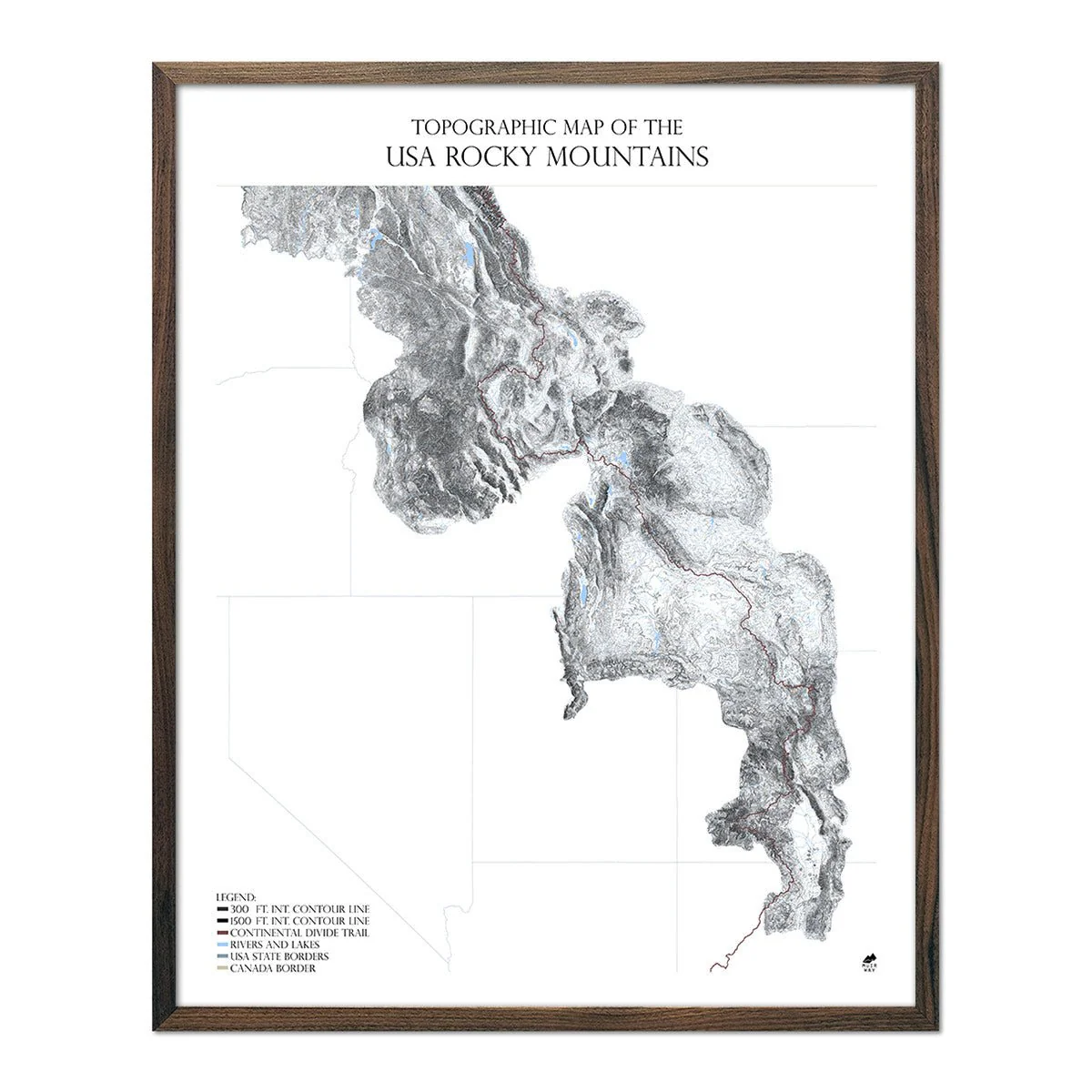
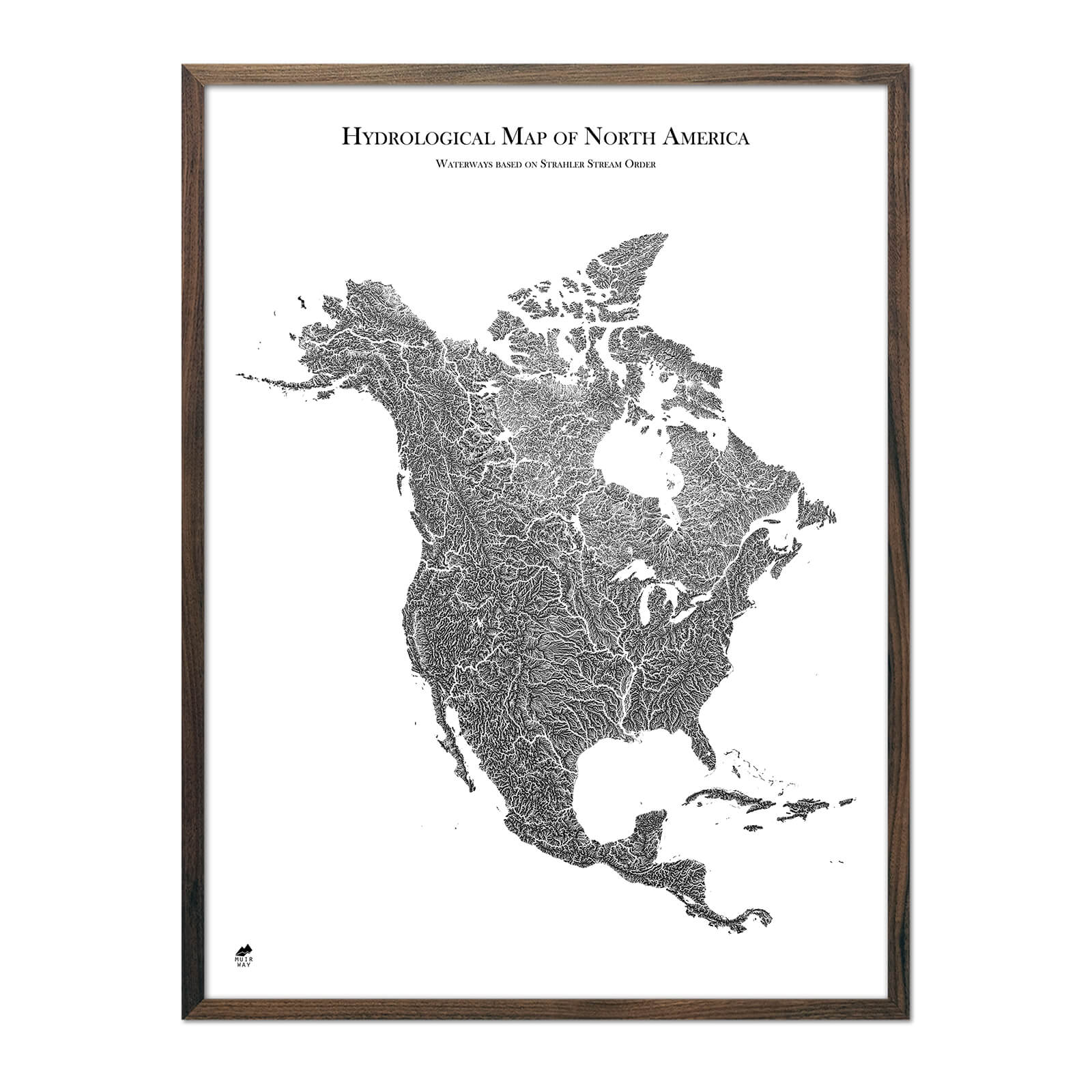
Hydrological Map of North America
Our incredibly detailed map of North America shows the inherent beauty of the continent's system of waterways and lakes.
The width of the rivers and streams on the map are determined by their Strahler number which defines their size based on the hierarchy of tributaries. Therefore, the thickness of the lines on the map do not represent the actual size of the waterway. The lakes on the map are representative of their actual shape and size in reference to the map.
Due to limitations of data and the dimensions of the map, it does not include Greenland, Hawaii, part of the Aleutian Islands, and the Caribbean Islands east of Puerto Rico.
Product Information
Product Information
Shipping & Returns
Shipping & Returns


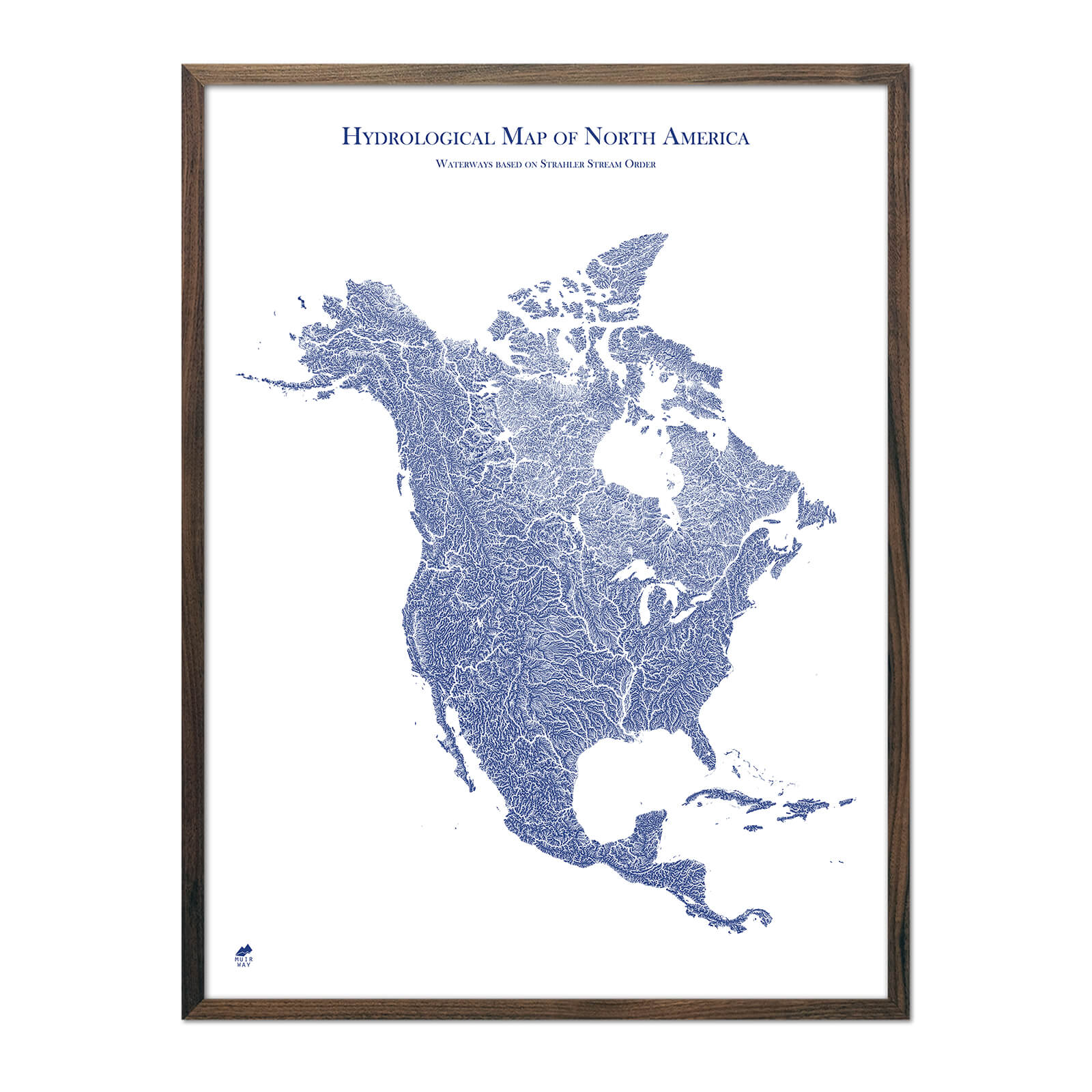


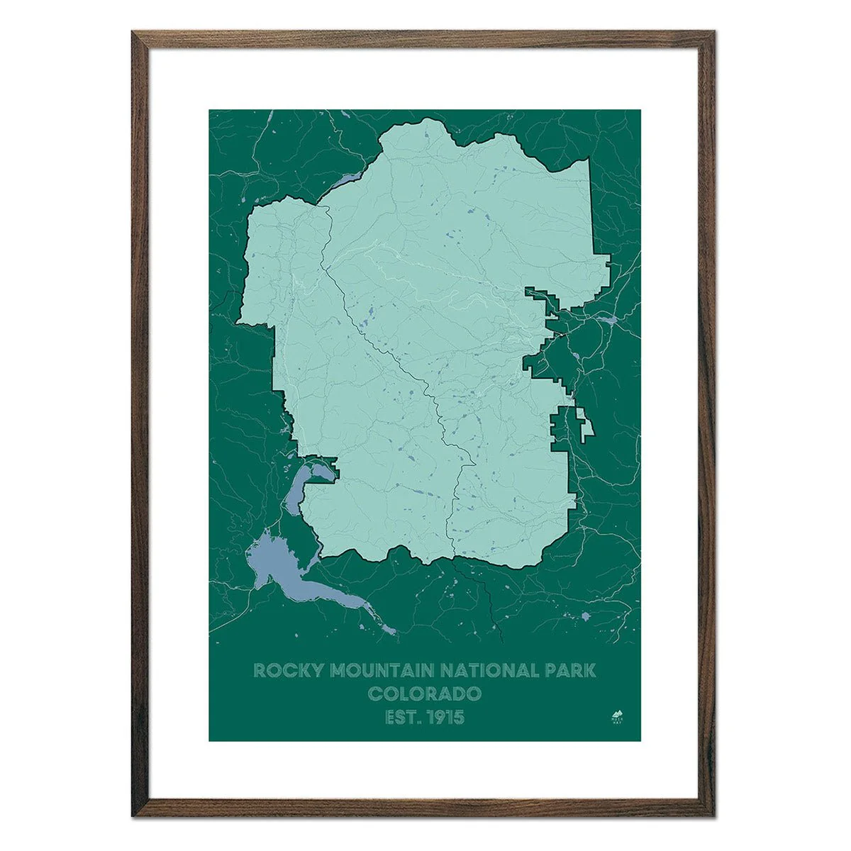
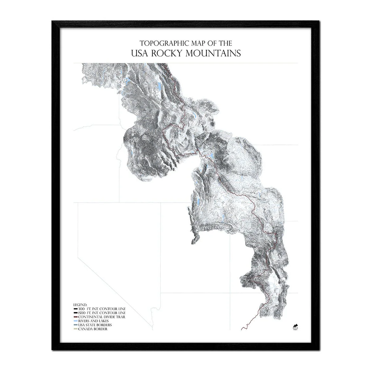
Hydrological Map of North America
Hydrological Map of North America
Our incredibly detailed map of North America shows the inherent beauty of the continent's system of waterways and lakes.
The width of the rivers and streams on the map are determined by their Strahler number which defines their size based on the hierarchy of tributaries. Therefore, the thickness of the lines on the map do not represent the actual size of the waterway. The lakes on the map are representative of their actual shape and size in reference to the map.
Due to limitations of data and the dimensions of the map, it does not include Greenland, Hawaii, part of the Aleutian Islands, and the Caribbean Islands east of Puerto Rico.
Original: $7,100.00
-70%$7,100.00
$2,130.00Product Information
Product Information
Shipping & Returns
Shipping & Returns
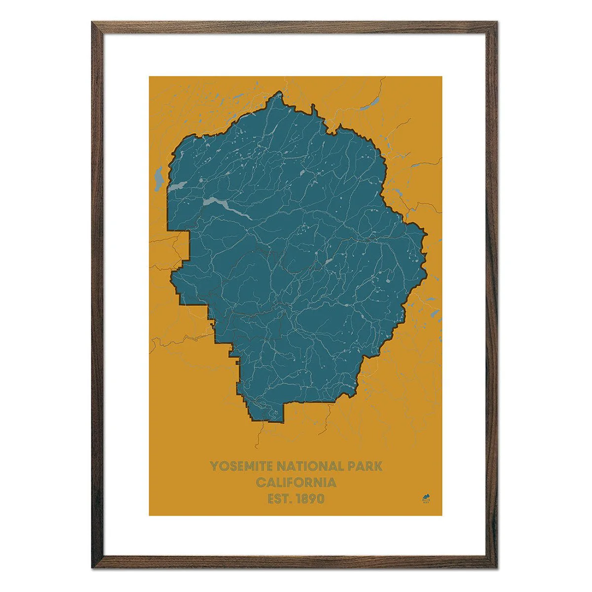
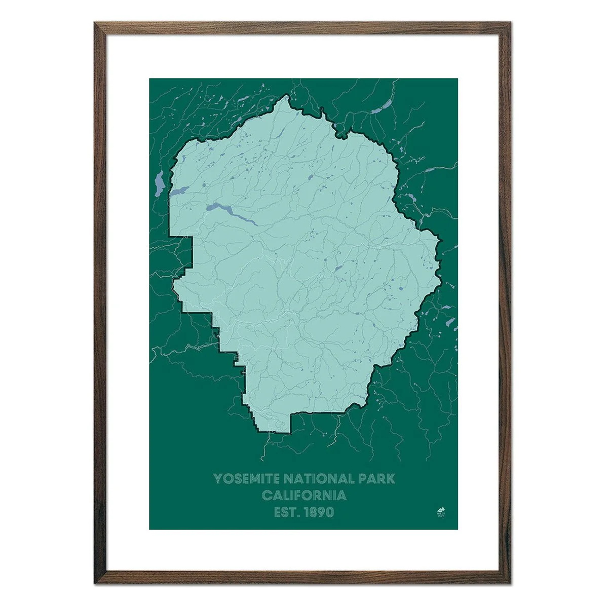
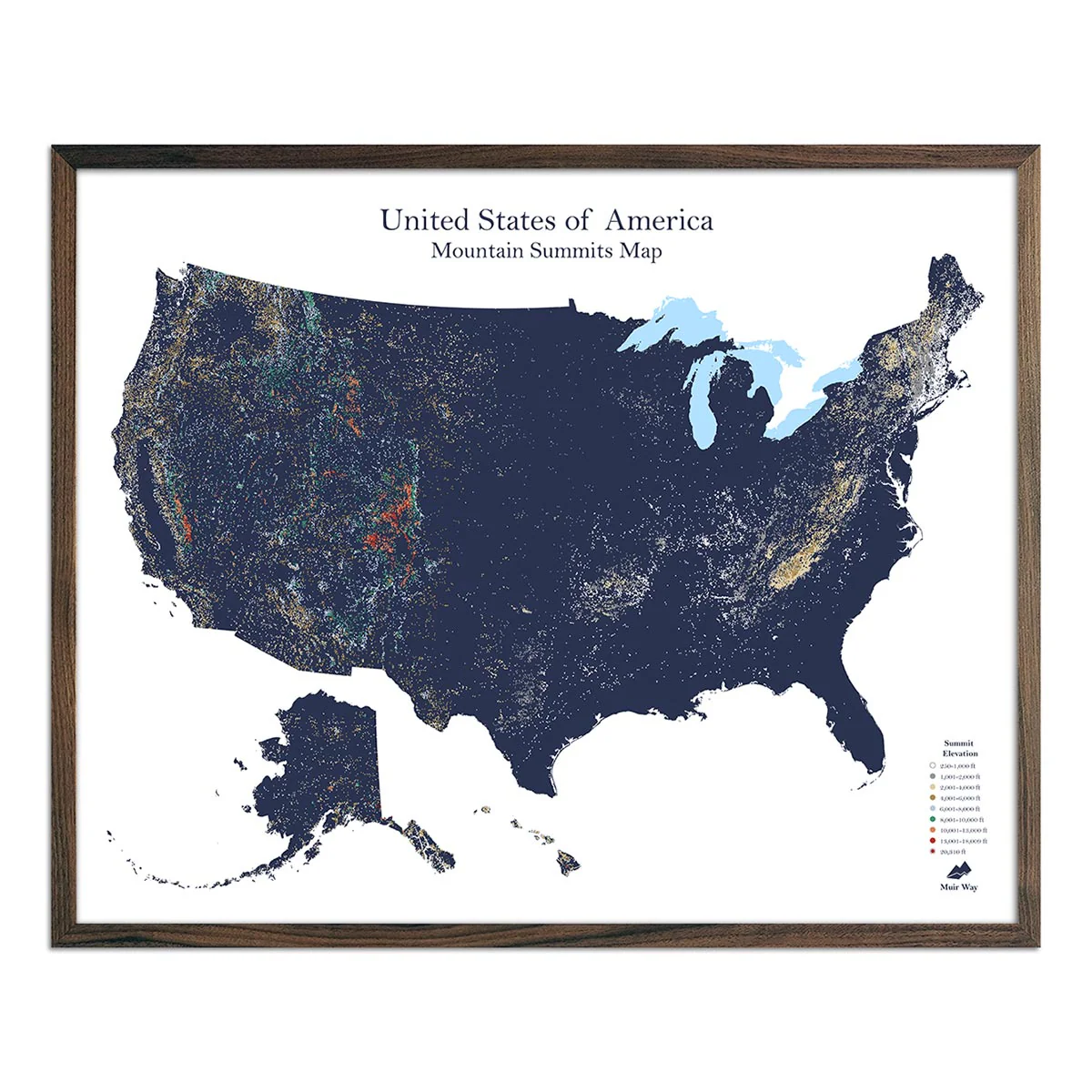
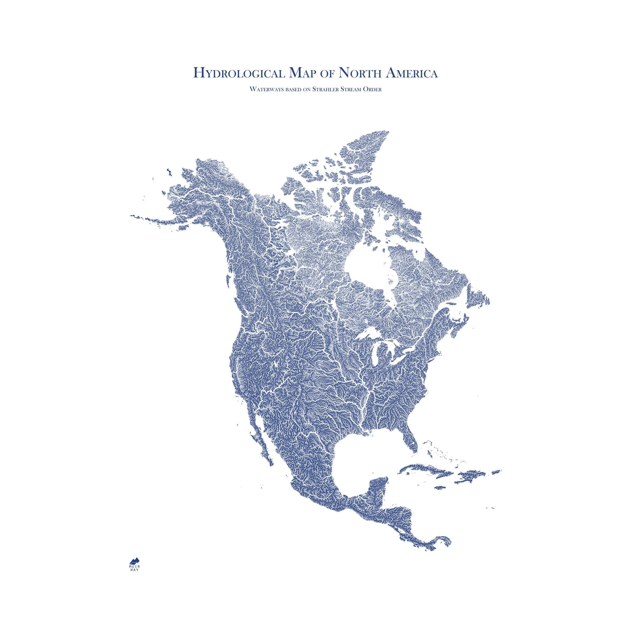
Description
Our incredibly detailed map of North America shows the inherent beauty of the continent's system of waterways and lakes.
The width of the rivers and streams on the map are determined by their Strahler number which defines their size based on the hierarchy of tributaries. Therefore, the thickness of the lines on the map do not represent the actual size of the waterway. The lakes on the map are representative of their actual shape and size in reference to the map.
Due to limitations of data and the dimensions of the map, it does not include Greenland, Hawaii, part of the Aleutian Islands, and the Caribbean Islands east of Puerto Rico.