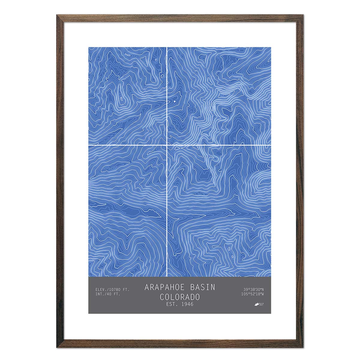
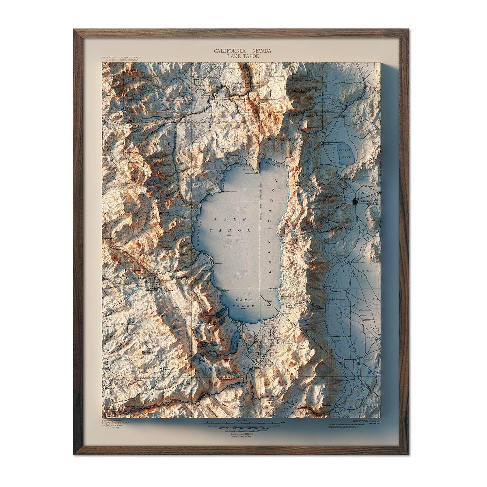
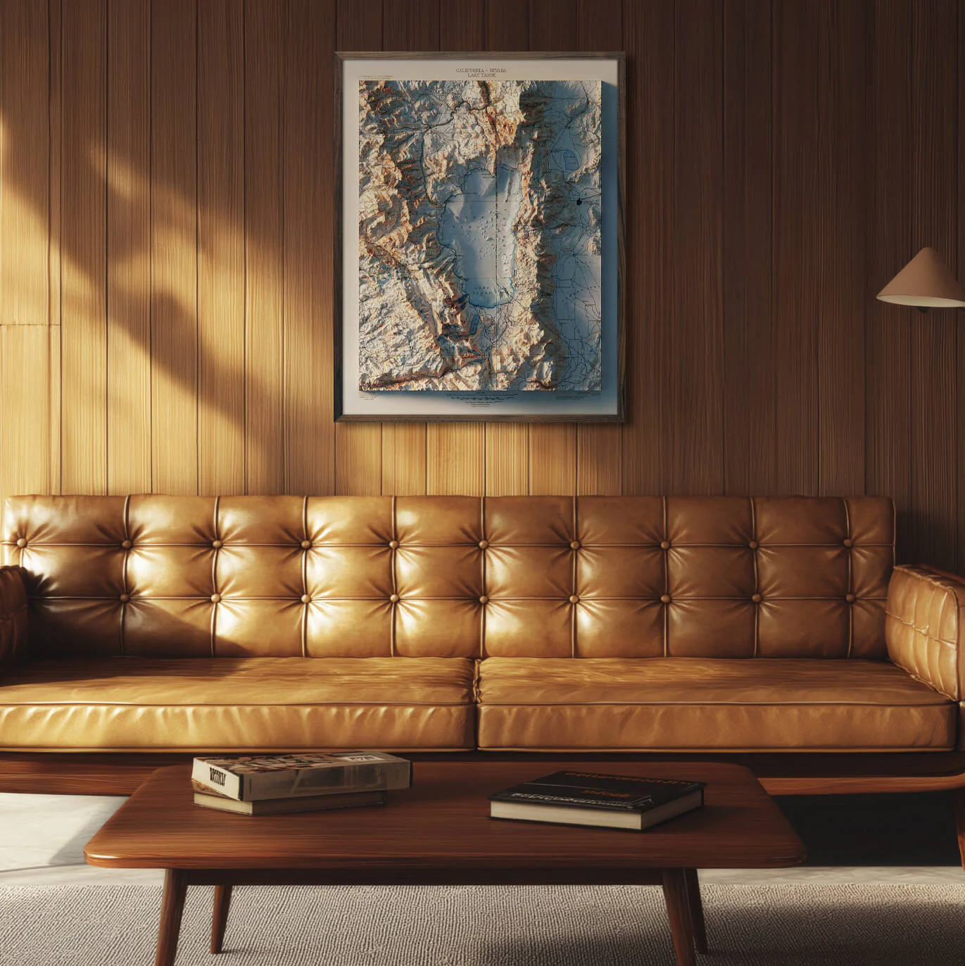
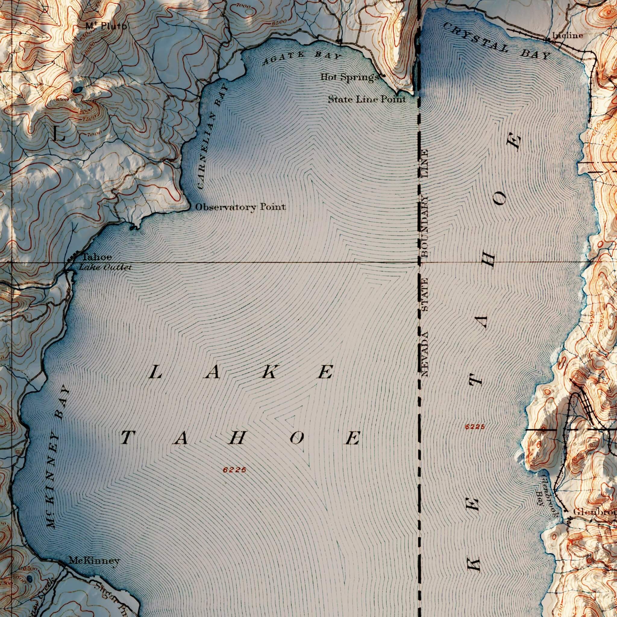
Lake Tahoe 1895 Shaded Relief Map
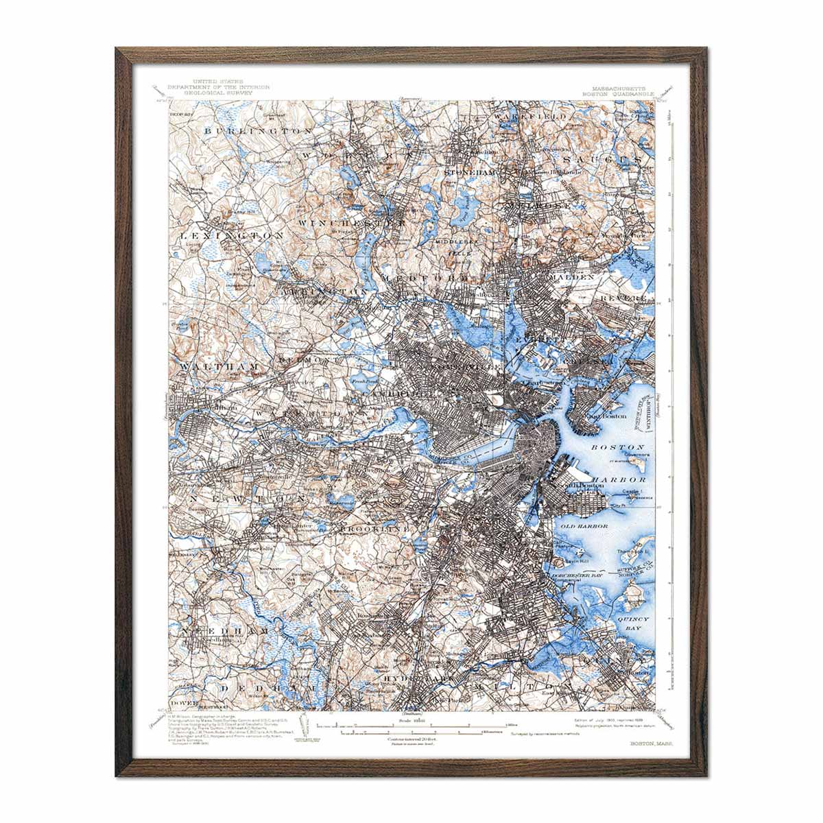
We created this map by compositing four separate quadrant maps from the late 1800's to make a single map of the Lake Tahoe area. Then we used Elevation Data to add shading which creates the illusion of 3D. The shading is printed on the paper and not a result of the map protruding from the surface.
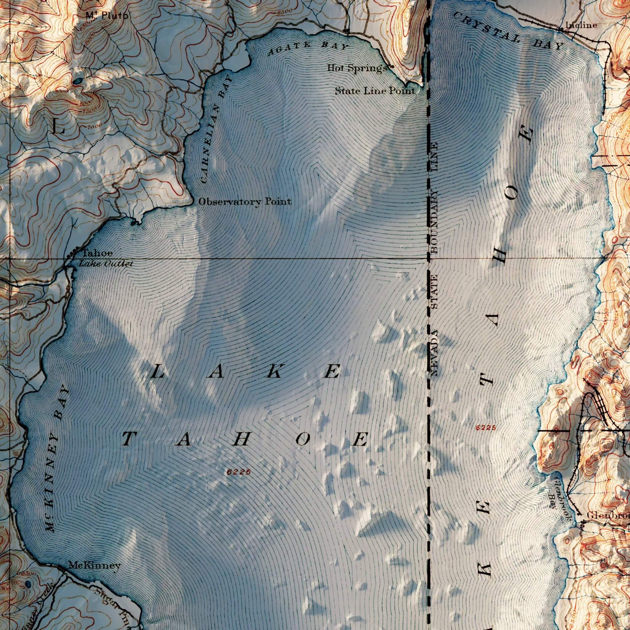
Please Note: Text on the map can be difficult to read due to the small font size and the age of the map. In areas where the relief shading covers the text, the underlying text is not legible. We suggest the largest size map for better details though the text may still be covered in the darker areas.
Product Information
Product Information
Shipping & Returns
Shipping & Returns


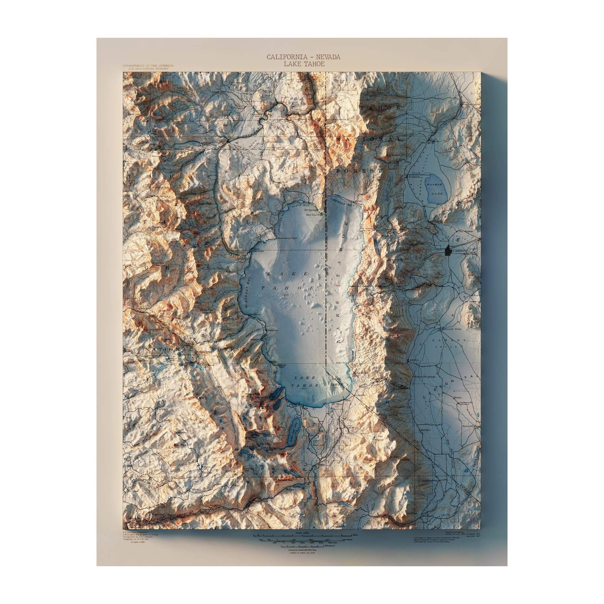


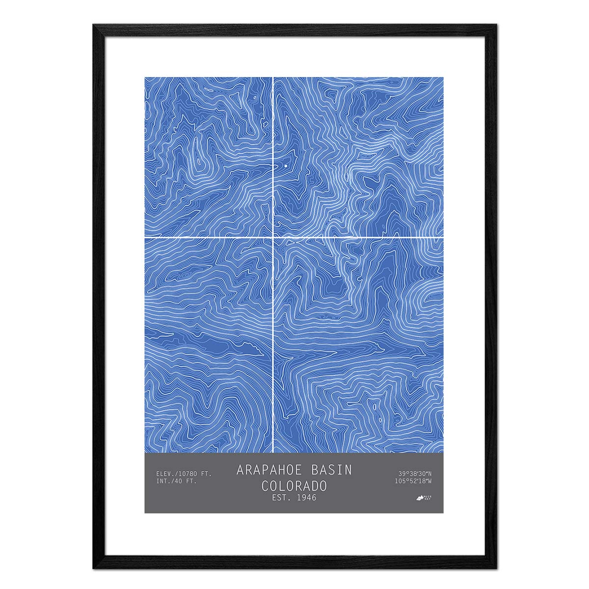
Lake Tahoe 1895 Shaded Relief Map
Lake Tahoe 1895 Shaded Relief Map
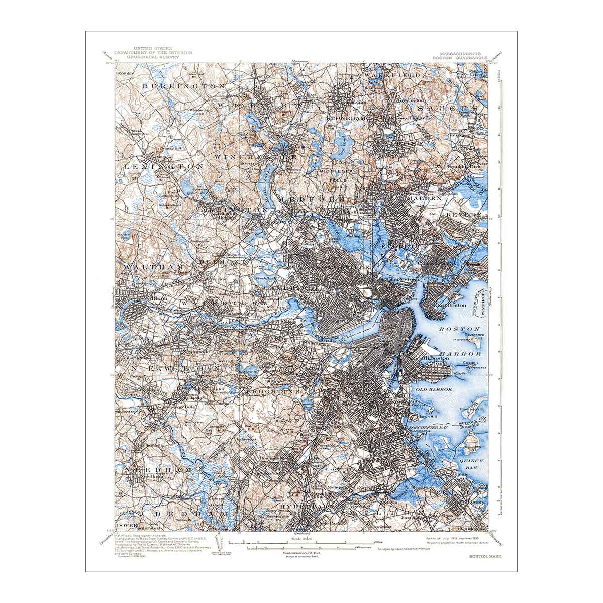
We created this map by compositing four separate quadrant maps from the late 1800's to make a single map of the Lake Tahoe area. Then we used Elevation Data to add shading which creates the illusion of 3D. The shading is printed on the paper and not a result of the map protruding from the surface.
Please Note: Text on the map can be difficult to read due to the small font size and the age of the map. In areas where the relief shading covers the text, the underlying text is not legible. We suggest the largest size map for better details though the text may still be covered in the darker areas.
Original: $1,110,000.00
-70%$1,110,000.00
$333,000.00Product Information
Product Information
Shipping & Returns
Shipping & Returns
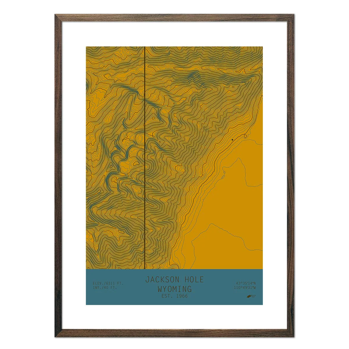
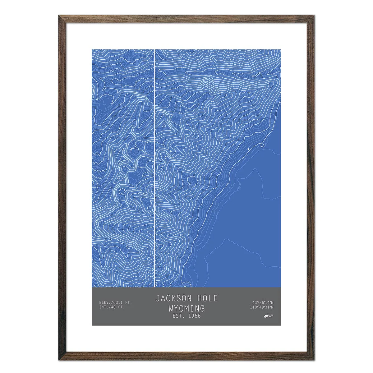
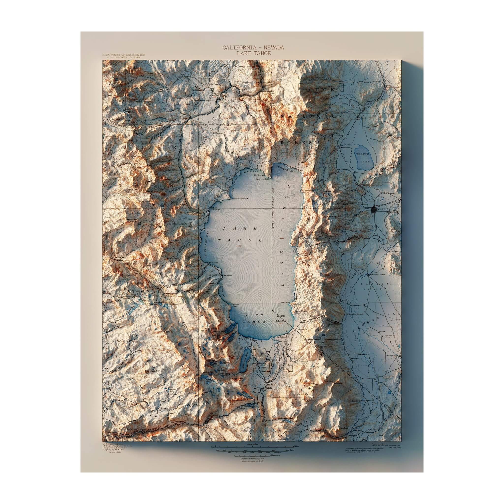
Description
We created this map by compositing four separate quadrant maps from the late 1800's to make a single map of the Lake Tahoe area. Then we used Elevation Data to add shading which creates the illusion of 3D. The shading is printed on the paper and not a result of the map protruding from the surface.
Please Note: Text on the map can be difficult to read due to the small font size and the age of the map. In areas where the relief shading covers the text, the underlying text is not legible. We suggest the largest size map for better details though the text may still be covered in the darker areas.